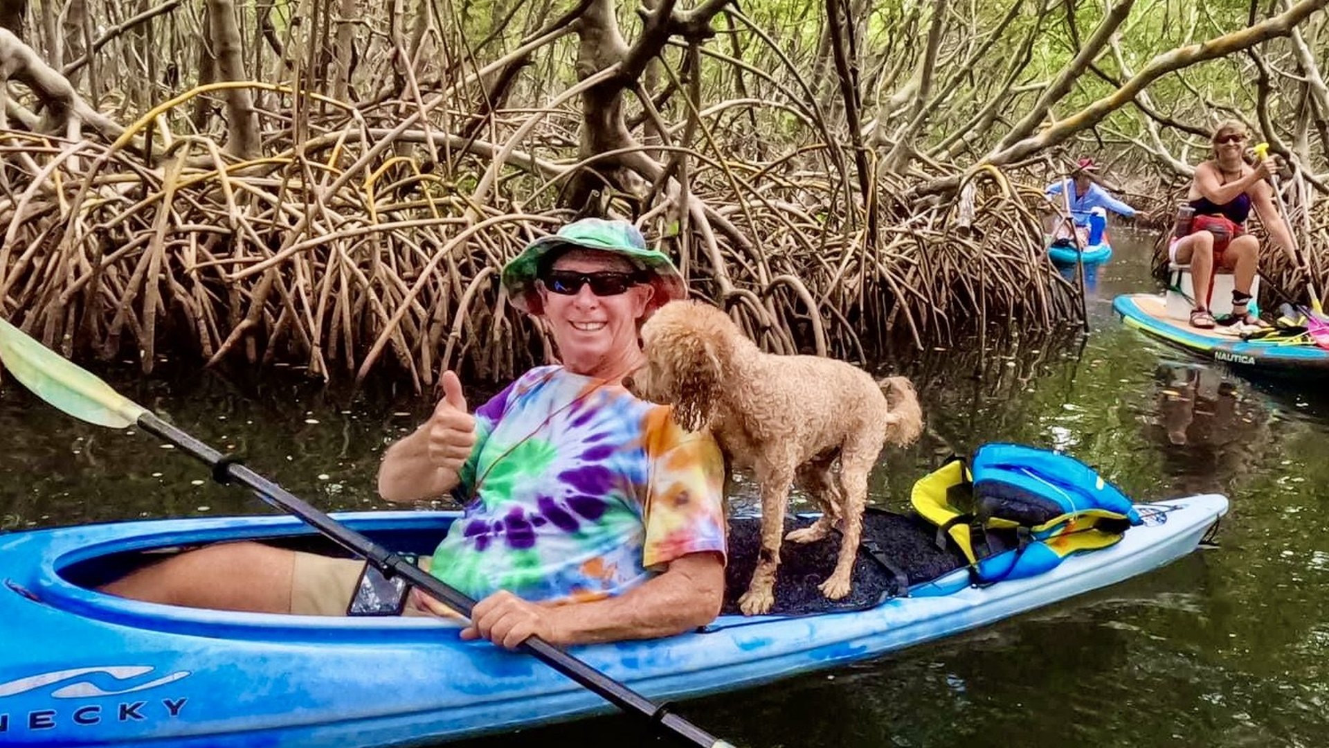
I found Cross Bayou almost by accident. I had driven past a small opening in the mangroves along Park Street North at least a dozen times before I finally decided to pull over, take a look and see what was back there.
After stopping, I opened Google Maps and realized that the little opening connected to a huge network of mangrove islands, channels, creeks, oyster bars and protected water. That was probably about five years ago. Since then, I have returned dozens and dozens of times.
One of the biggest reasons is convenience. It is only about 15 minutes from my house. It is also one of the most protected places I know. On days when the wind is far too strong for me to paddle almost anywhere else, Cross Bayou and Long Bayou can still offer calm water, especially when I launch from the east side along Park Street North.
It is a wonderful place, but it is also confusing. This is not a place where it is difficult to get lost. It is very easy to get lost here.
Three ways to enter the bayous
Launch Points
There are three practical launch areas that provide access to Cross Bayou and Long Bayou. The one I use most often is the location identified on Google Maps as Cross Bayou Kayak Launch. This is the same launch that I refer to as the Park Street North launch, since it is located along Park Street North. Searching for "Cross Bayou Kayak Launch" in Google Maps is the easiest way to find it. The other launches I use are Seminole Waterfront Park and WePaddle.
Cross Bayou Kayak Launch (Park Street North)
The east-side roadside launch is along Park Street North, a couple of miles south of the Park Avenue intersection and roughly 500 feet south of 62nd Avenue North.
There is room to park several vehicles along the side of the road, and the launch is simply a small opening in the mangroves. It is easy and convenient, but Park Street is busy and can be extremely dangerous for people and dogs.
Buddy Boy once ran up toward the road while barking at somebody. He could easily have gone into traffic, and that could have been the end of him. I still take him there often, but I am now extremely protective of him while unloading and launching.
Cross Bayou Kayak Launch
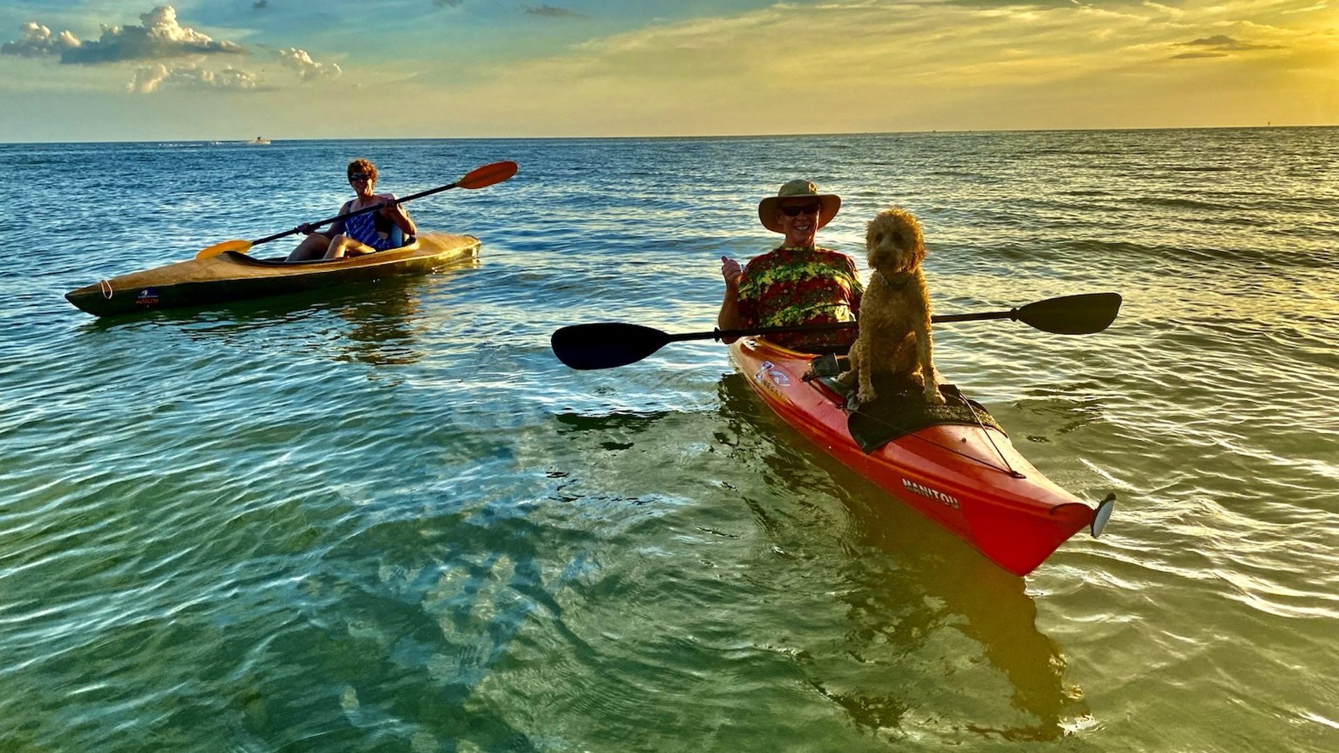
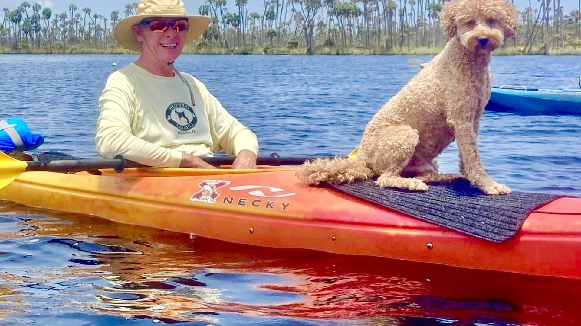
The launch shown by that name on Google Maps is another useful starting point. There are photographs of Buddy Boy and me associated with the location, and I have launched there for group paddles and personal trips.
Seminole Waterfront Park
Seminole Waterfront Park provides access from the other side of the system and works especially well for longer trips. Sometimes we leave a vehicle at one launch and begin at another, turning the day into a one-way paddle across the entire area instead of an out-and-back.
Most of my paddles here involve loops. There are so many islands and channels that I can create a different route almost every time.
WePaddle near Seminole Lake Country Club
A third option is WePaddle, a private paddling outfitter near Seminole Lake Country Club. It is operated by Tim Grimes and offers rental kayaks and paddleboards, guided paddles and paddling instruction.
I know Tim from previous paddling workshops. He is an excellent instructor and a great all-around guy, so anyone who needs equipment, instruction or a guided introduction to the area should definitely check out WePaddle.
The mangrove maze
It Is Very Easy to Get Lost Here
The safest way to learn this area is slowly. Begin with short trips close to the launch. Identify obvious landmarks, then return to the starting point. On the next visit, venture a little farther and add more landmarks.
Continue doing that until the channels, shorelines, bars and islands begin to make sense. Even then, it is easy to become disoriented because one mangrove island can look almost exactly like the next.
I strongly recommend using a GPS track logger that shows the route back to the launch. A waterproof printed map would also be a smart backup. Phones can fail, batteries can die and apps can freeze.
Going with another paddler adds safety, but it does not necessarily add navigation skill. Two people can become lost just as easily as one. The best approach is to use every available tool and to keep learning the area a little at a time.
Learning the bayous one track at a time
AllTrails, KML Files and Google Earth
I was exploring Cross Bayou at about the same time I was identifying, clearing, widening and mapping the mangrove tunnel trails at Gandy Beach.
I used the AllTrails app to record every trip. The best way I found to understand the entire system was to export those track logs as KML files and import them into Google Earth.
I could overlay all the tracks on top of one another and assign a different color to each trip. That made it easy to see exactly where I had paddled, which channels connected, which routes worked at different tide levels and where I still needed to explore.
At high tide, many routes open up. At lower tides, the choices become much more restricted. Overlaying the tracks helped me identify which routes were best for different conditions.
Even after dozens of visits, I have explored only a fraction of the area. There are endless feeder creeks. Cross Bayou Canal runs far inland, and heading north can take you surprisingly close to Lake Seminole.
Near the Park Street and Park Avenue side, there are incredible back bayous that feel much farther from development than they actually are.
The tide controls the route
Tides and Current
This is one of the places where I always check the tide carefully before launching. The water level changes dramatically, and the tide determines which channels are open and which are blocked.
Low tide is generally not a good time to paddle here. Too much of the area becomes too shallow, and oyster bars can completely block passages between islands.
A half tide or a tide moving toward the lower side can be excellent for watching wildlife, but it still requires route knowledge. At higher water, the system is easier to navigate physically because more routes remain open.
A rapidly changing tide can create surprisingly strong current in narrow channels. The shorter the gap between two mangrove islands, the faster the water may move through it.
Tide planning here comes mainly from experience. Each trip teaches me something new about which passages work, where the bars are and how quickly conditions change.
The sharpest hazard
Oyster Bars
There are oyster bars everywhere, especially between mangrove islands. The shorter the distance between two islands, the more likely it is that an oyster bar crosses the gap.
Some bars only make the water shallow. Others completely block passage, especially as the tide drops.
Appropriate footwear should always be worn or carried. Putting bare feet onto oysters can create a bloody mess. The shells can slice deeply, destroy the bottom of a foot and create a serious risk of infection.
A deep cut in contaminated estuarine water is not something to take lightly. A severe injury could damage tendons, nerves or blood vessels. I always treat the oysters as one of the most serious hazards here.
Buddy Boy is relatively safe because he never jumps off the kayak unexpectedly. I still stay cautious around bars and shallow landings because one bad step could injure him just as easily as it could injure me.
Birds hidden everywhere
Wildlife and Wading Birds
When the tide is at the right level, especially around half tide or moving toward the lower side, there can be hundreds and hundreds of wading birds feeding throughout the bayous.
Herons, egrets, ibis, spoonbills and other birds spread across the bars and shallow edges. At high tide, many of those birds are still present, but they move into the trees.
I often paddle past them without seeing them because they are so well camouflaged inside the mangroves. Buddy Boy almost always notices them. He sees or smells them before I do and points them out, which makes him an excellent wildlife navigator.
Dolphins and manatees may also move through the larger channels, and fish, rays and other estuarine life are common in the shallows.
A sunset roost
Bird Island
Near Seminole Waterfront Park is an island I call Bird Island. Around sunset, hundreds and hundreds of birds return to roost there regardless of the tide.
I can sit nearby and watch birds arriving from every direction, flying into the trees and jumping around among the branches. The whole island is white from years of bird droppings.
That makes the island incredibly fertile, but it also means a large amount of nutrients eventually washes into the bay.
Bird Island is one of the best reasons to stay out late. The arrival of so many birds at sunset can turn an ordinary paddle into a remarkable wildlife experience.
Places to stop and watch
Sandbars and Buddy Boy
There are several interesting sandbars where I can get out, stretch, watch wildlife and let Buddy Boy run around.
On a nice day when I have plenty of time, I may stay on a bar for quite a while. Buddy can play a little fetch while I watch birds feeding in the surrounding shallows.
These bars change with the tide, and some are bordered by oysters, so landing always requires care. They are still among my favorite places to pause and simply watch the bayou.
Waterfront camping and the Pinellas Trail
The KOA Campground
On the far side of the bayou is a KOA campground directly on the water and beside the Pinellas Trail.
It is possible to paddle up, dock a kayak quietly and carefully, walk to the camp store for drinks or snacks and sit on a bench for a break without making a scene.
The campground looks like an excellent base for anyone who wants to paddle frequently. A camper could launch at sunrise, sunset, at night or under a full moon.
It also seems like a good place for fishing and night paddling. The Pinellas Trail runs directly through the campground, and the Gulf beaches are only a few miles away.
That makes it an excellent family location for people who want to paddle, bike and visit the beach during the same trip.
KOA campgrounds tend to be more expensive and crowded than state parks, and winter is especially busy. Still, the location is hard to beat.
There are also cabins for rent. Someone without a camper can stay in a small room near the water, sit outside, have a campfire and enjoy the same paddling access.
Prepare for the unexpected
Safety and Emergency Planning
There are many homes along parts of the shoreline. If something serious happened, it would often be possible to bail out at a private property, apologize, explain the emergency and call for a ride.
I have marked several possible bailout points as waypoints on my track logs. Those waypoints help me understand exactly where I am and give me options if I become injured, exhausted or trapped by changing water levels.
I would be respectful, explain the situation and offer a generous thank-you for the inconvenience.
What I carry
- A working GPS track logger with the return route visible.
- A phone with enough battery for the entire trip.
- A waterproof printed map as a backup.
- Plenty of drinking water.
- A first-aid kit capable of handling serious cuts.
- Protective footwear suitable for oyster bars.
- A PFD and the usual coastal paddling safety equipment.
Future trip reports
Some of My Favorite Cross Bayou Paddles
I have made dozens of trips here, and I will gradually add individual paddle reports, maps and photographs.