Florida is famous for beaches and theme parks, but some of its greatest treasures are hidden along quiet rivers. The Little Manatee is one of those places. A few minutes after launching, the outside world disappears and the kayak enters a landscape of clear blackwater, sandbars, palms, live oaks and Spanish moss—a river that feels far older and wilder than the busy Tampa Bay region surrounding it.
The Canoe Outpost: where the trip begins
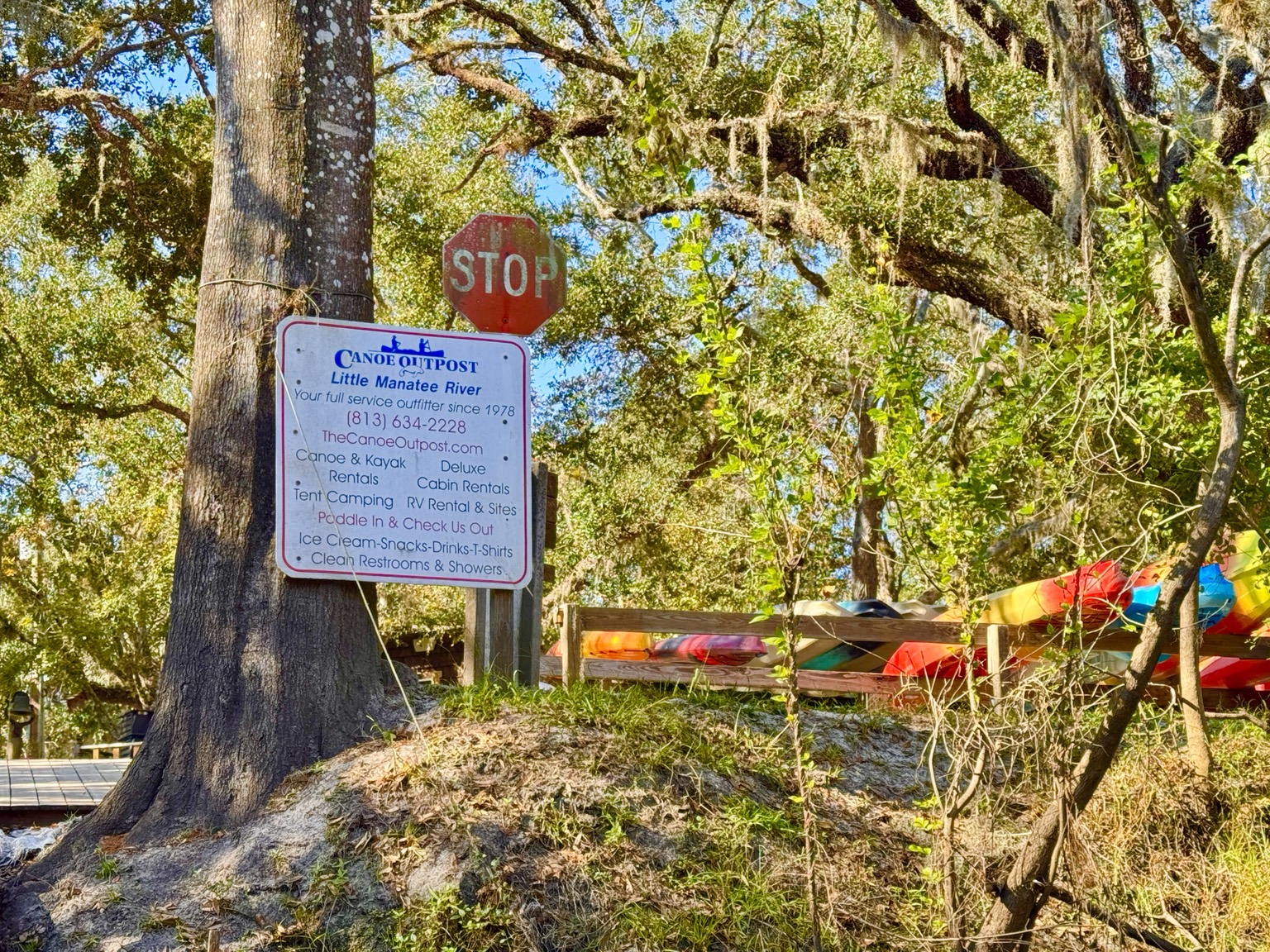
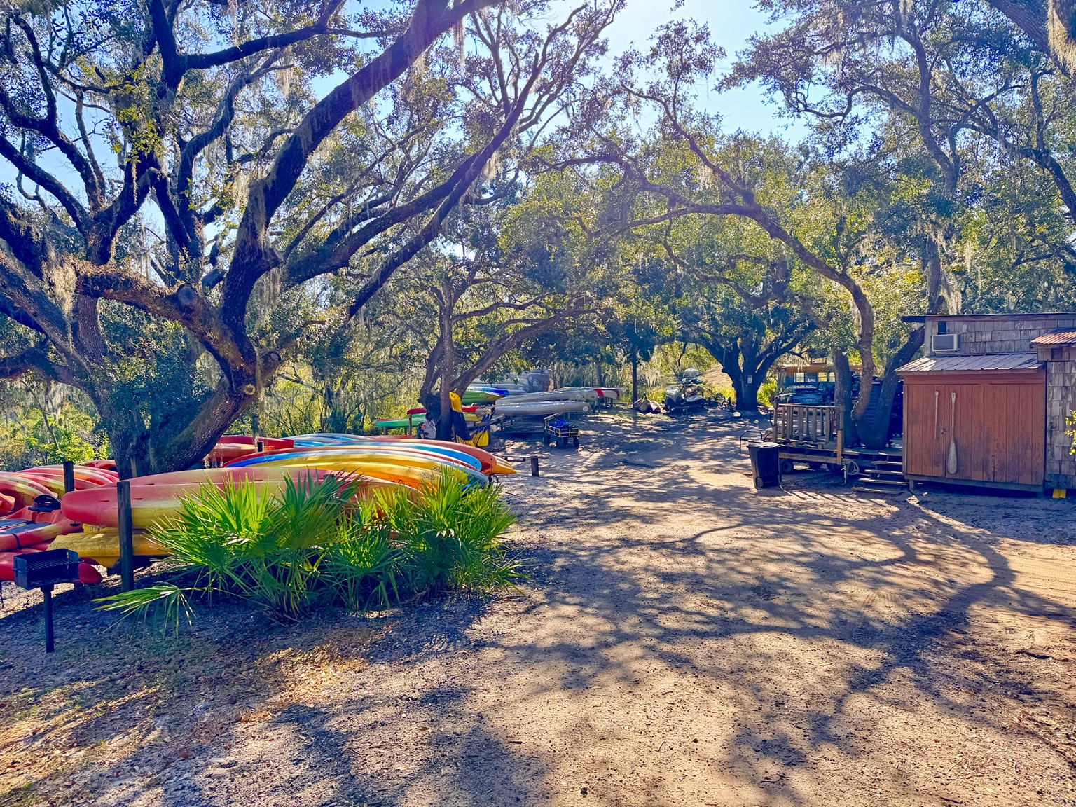
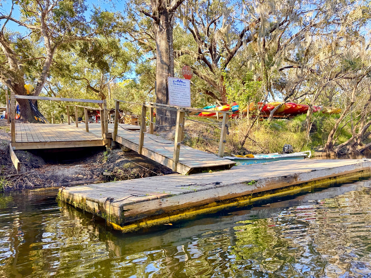
The Canoe Outpost on U.S. 301 has been sending paddlers down the Little Manatee River for decades. The property feels appropriately informal: colorful boats beneath giant live oaks, sandy paths, wooden docks, cabins and campsites tucked into the trees. It is not a polished resort, and that is part of its appeal. It feels like a place built by paddlers for paddlers.
The Outpost rents canoes and kayaks, arranges shuttles, offers guided and self-guided trips, and also has camping and cabin options. Its downstream trips make the river accessible to people who do not want to arrange two vehicles. For the longer upper-river trips, the shuttle carries paddlers upstream and the current brings them back toward the Outpost. Current schedules, prices and river conditions should always be confirmed directly before making the drive.
A designated Florida paddling trail
The Little Manatee begins near Fort Lonesome and flows almost forty miles toward Tampa Bay. A ten-mile portion is recognized as a Florida Designated Paddling Trail. The official guide traces the route from the Canoe Outpost area past Little Manatee River State Park, Camp Bayou and downstream access points toward Wildcat Park.
The map looks simple on paper, but the river is never a straight corridor. It bends, divides, slips behind islands and changes character with every mile. In branching sections, the official guide advises paddlers to carry a map or GPS and generally stay left at decision points. The route sketch below is only an orientation; the official state map remains the best planning tool.
Launching into Old Florida
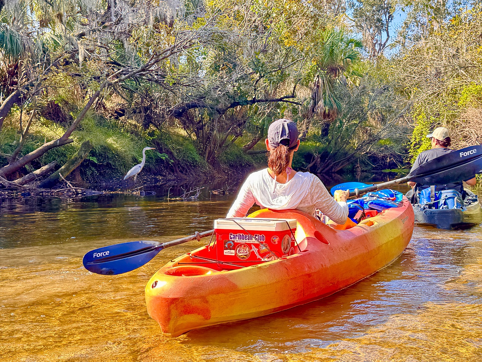
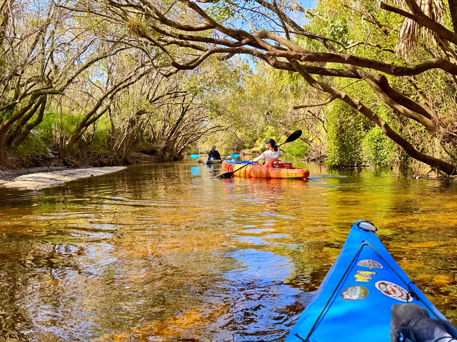
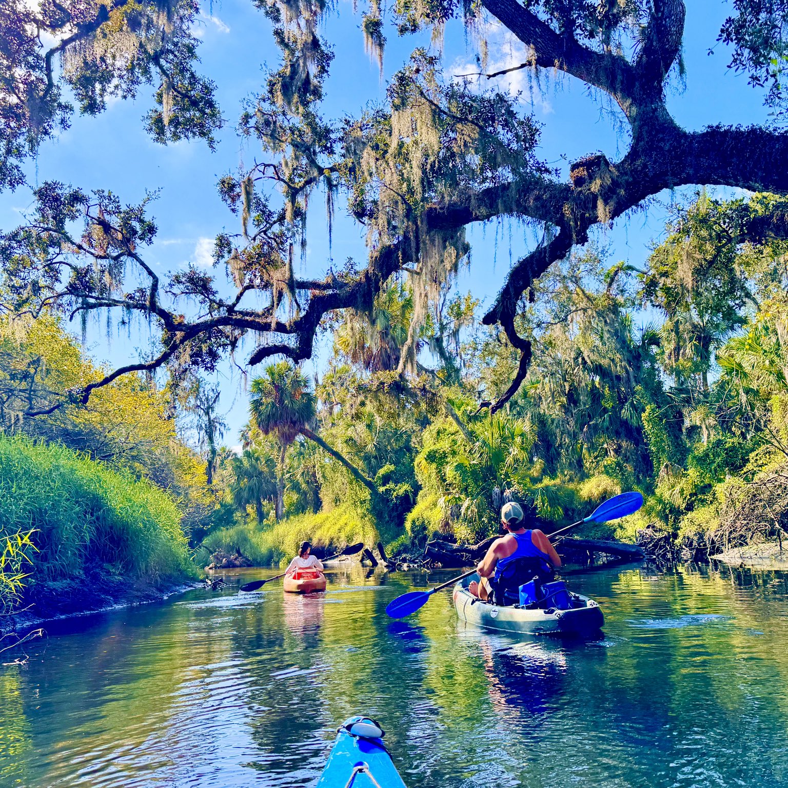
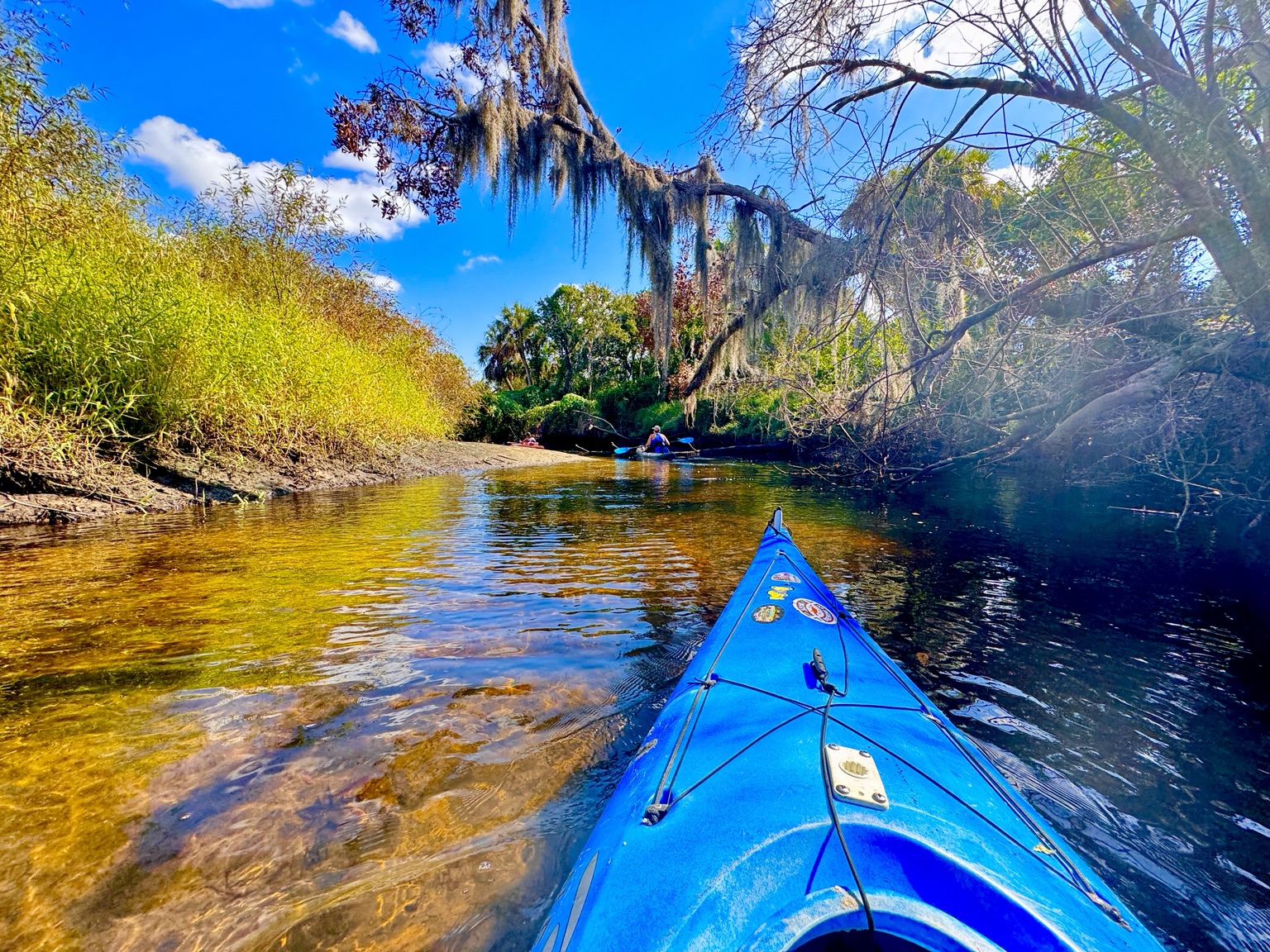
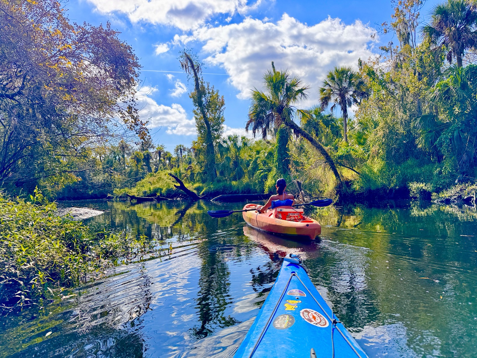
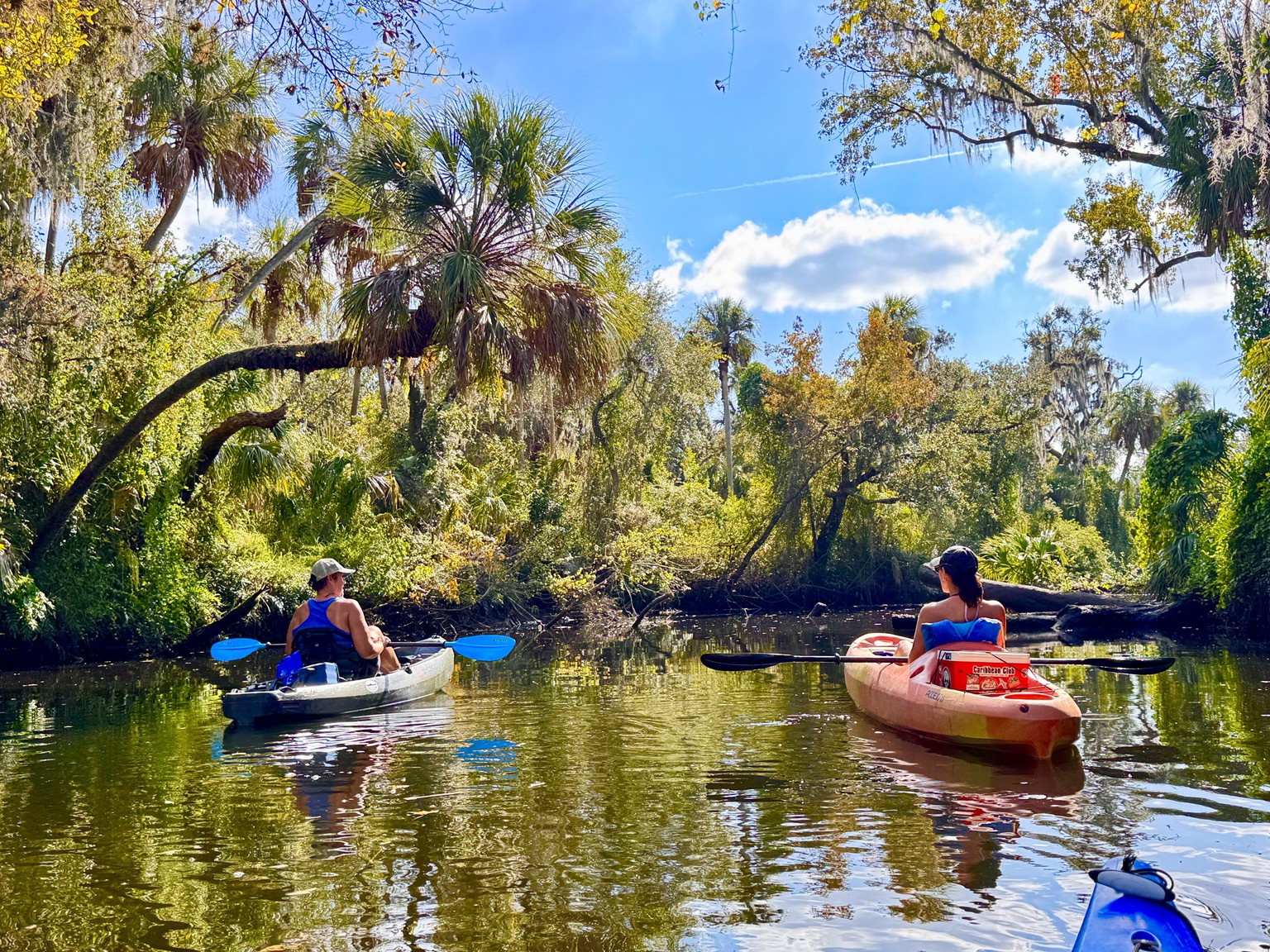
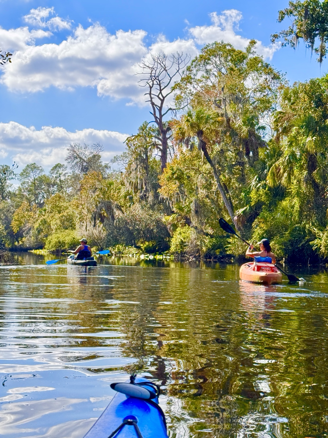
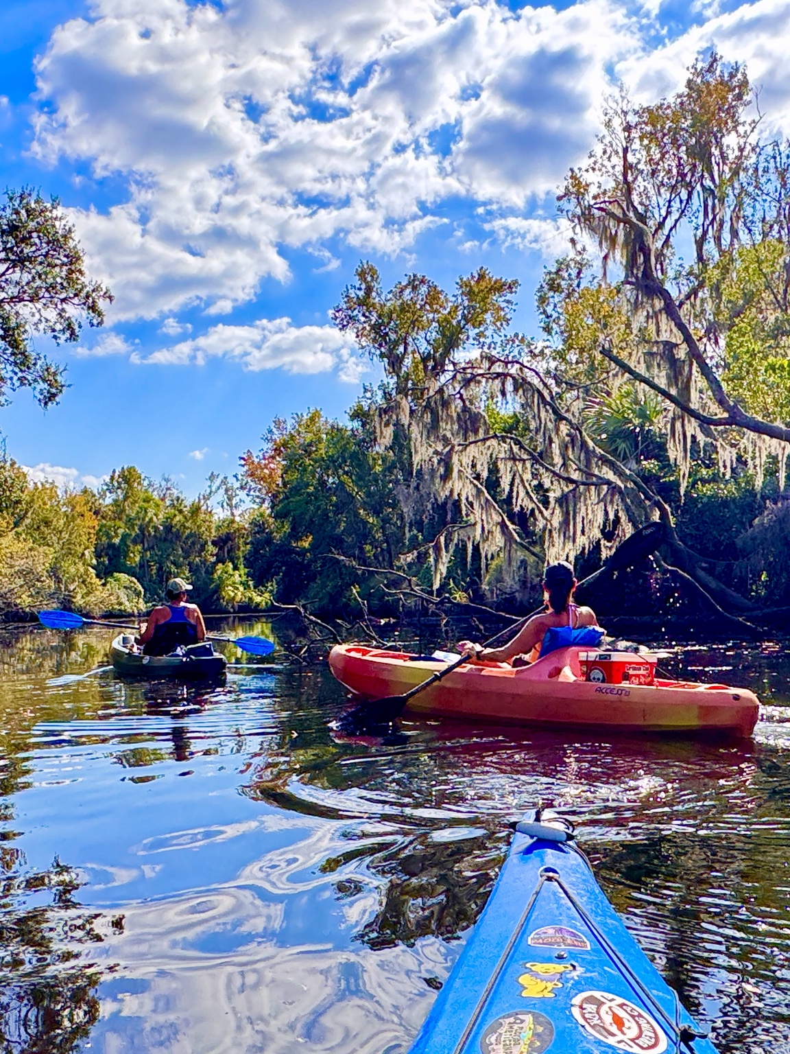
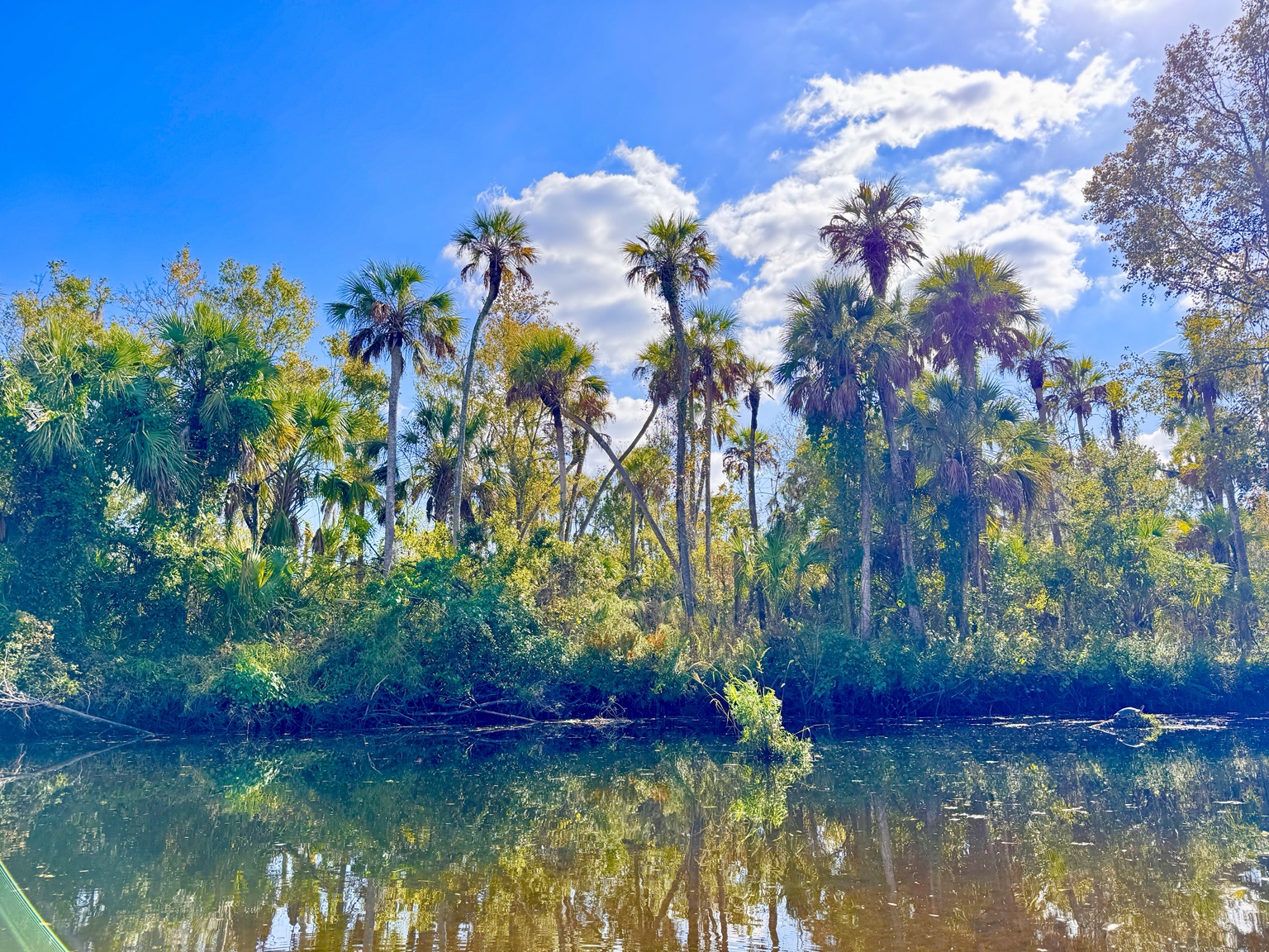
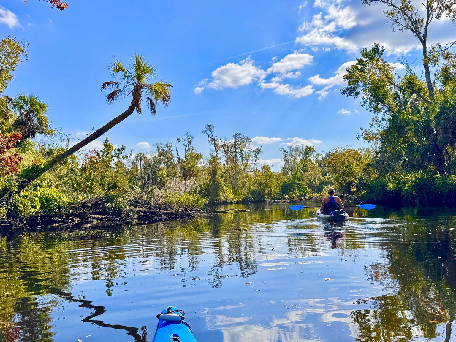
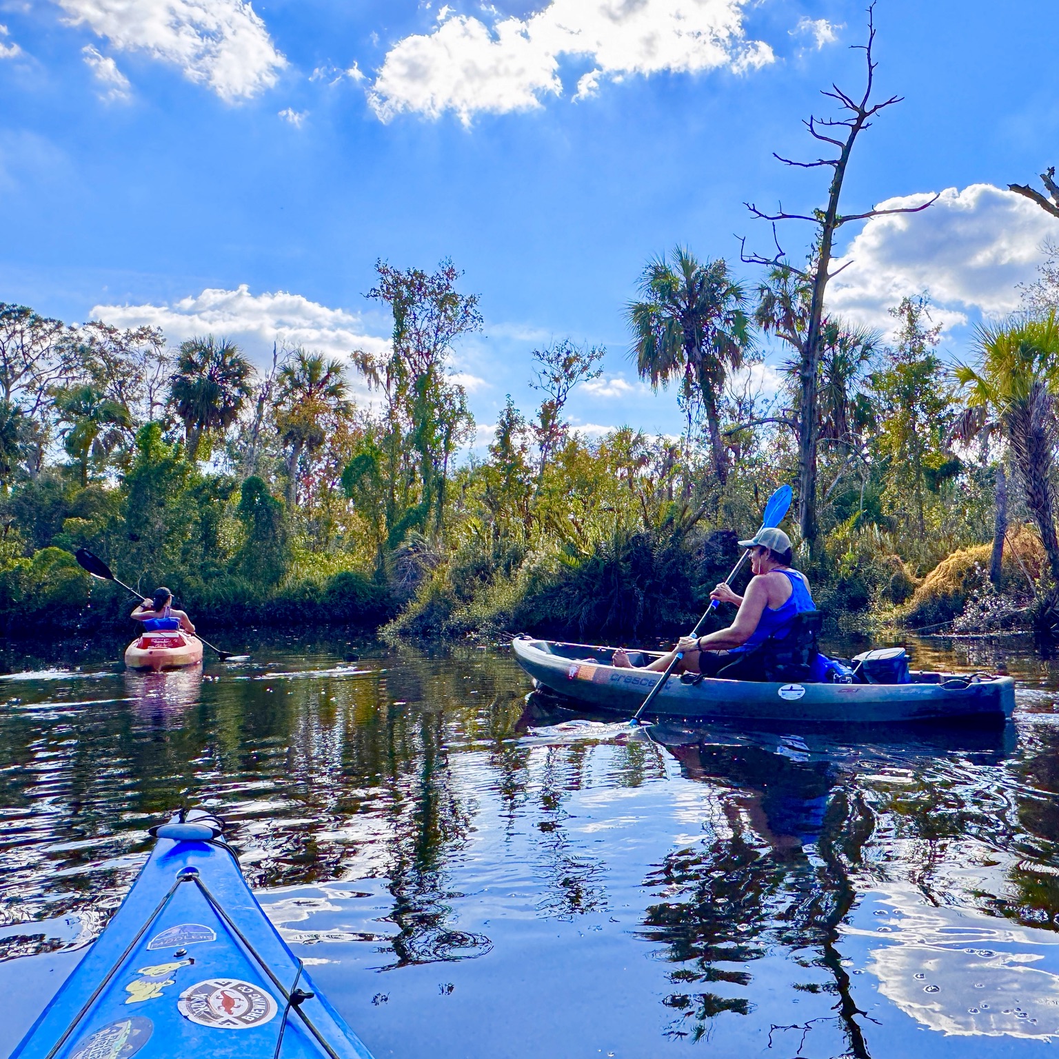
Within minutes of leaving the Outpost, the road noise disappears. The river becomes narrow, intimate and shaded. Live oaks stretch across the channel, Spanish moss hangs almost to the water, and cabbage palms lean toward openings in the canopy.
This is a completely different kind of paddling from Hurricane Pass, Honeymoon Island or Caladesi. On the Gulf I am always watching wind, tide, exposed crossings and thunderstorms. Here, the river itself sets the pace. Every bend asks for a little attention: choose the clean line, avoid the submerged limb, duck beneath the branch, and then look up because another beautiful scene is waiting.
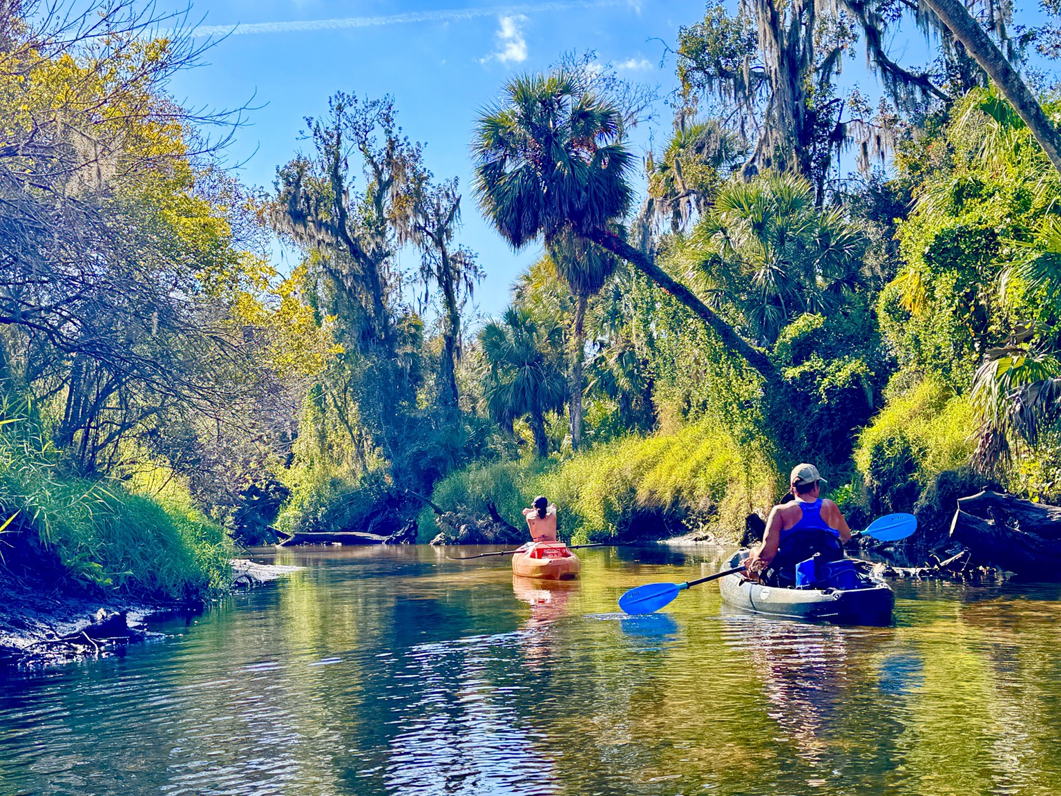
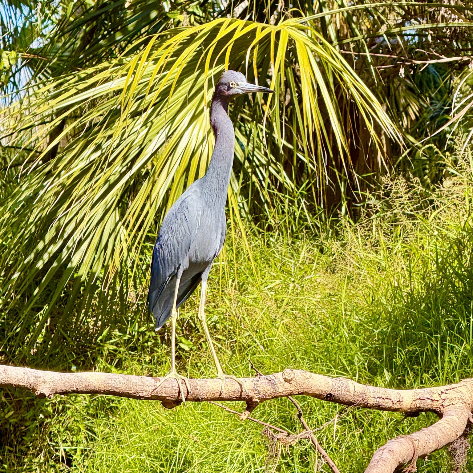
A rain-fed river that changes constantly
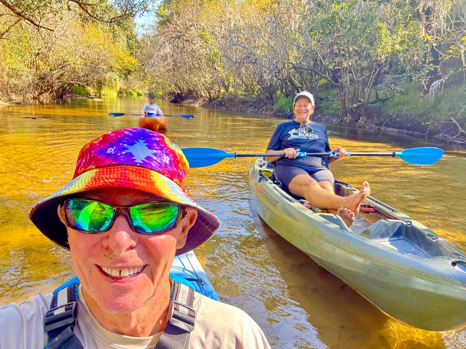
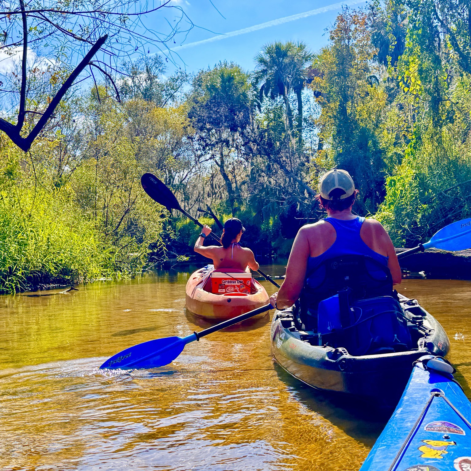
The Little Manatee is not a spring-fed river, so rainfall controls the trip. After wet weather, the river rises, darkens and moves faster. The current can make the miles easier, but it can also push a kayak toward strainers, low branches and newly shifted logs. After dry weather, the river becomes shallower and clearer, exposing pale sand and creating the golden water seen in many of these photographs.
Low water can mean scraping across sandbars or briefly stepping out. High water can erase those stopping places altogether. That variability is one reason the same route never feels exactly the same twice. Before going, it is worth checking recent rainfall and calling the Outpost or state park for current conditions.
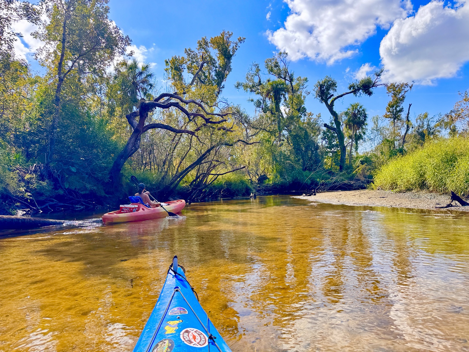
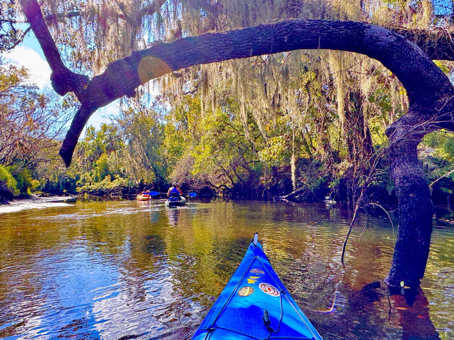
Sandbars, friends and the pleasure of slowing down
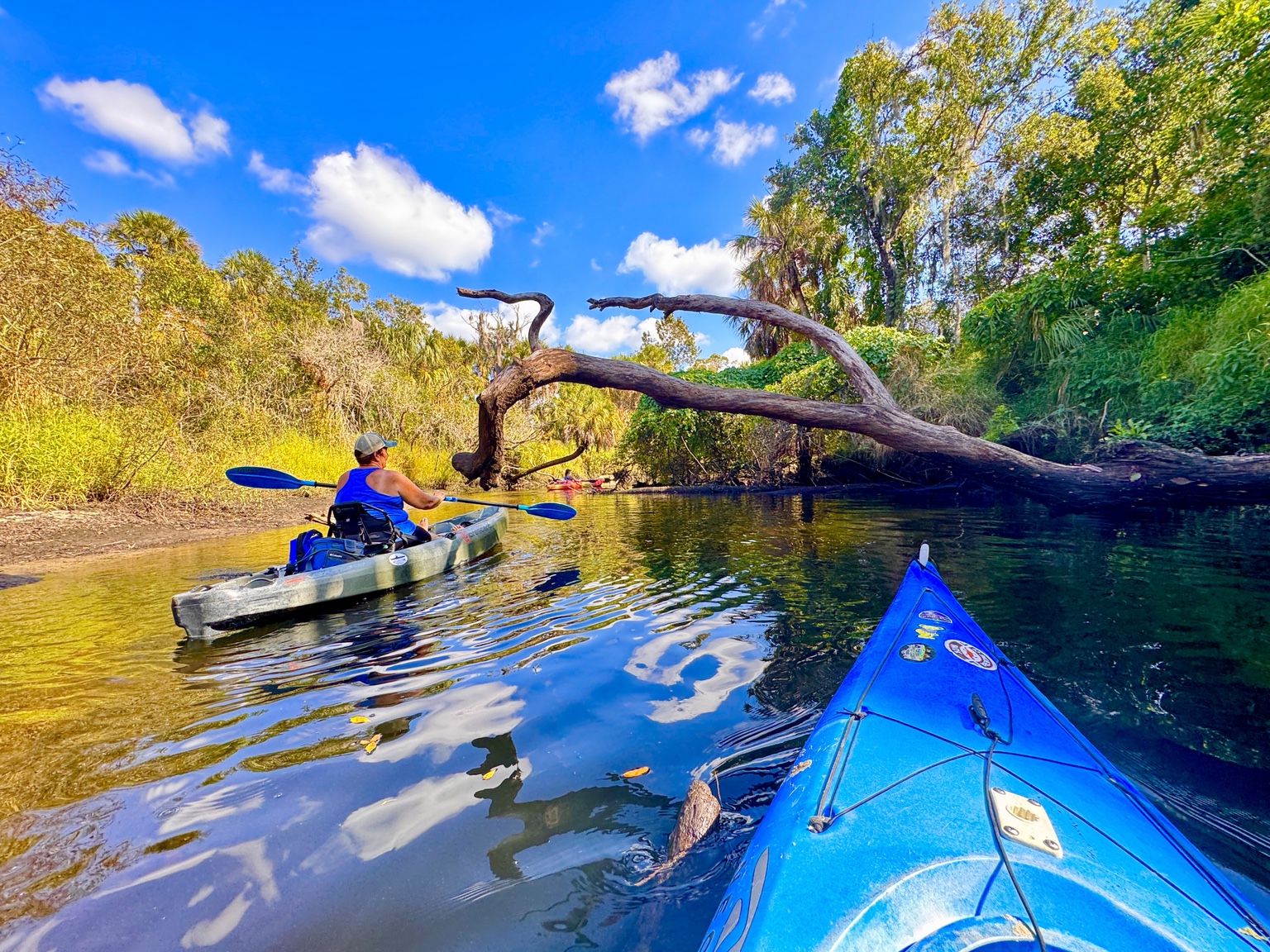
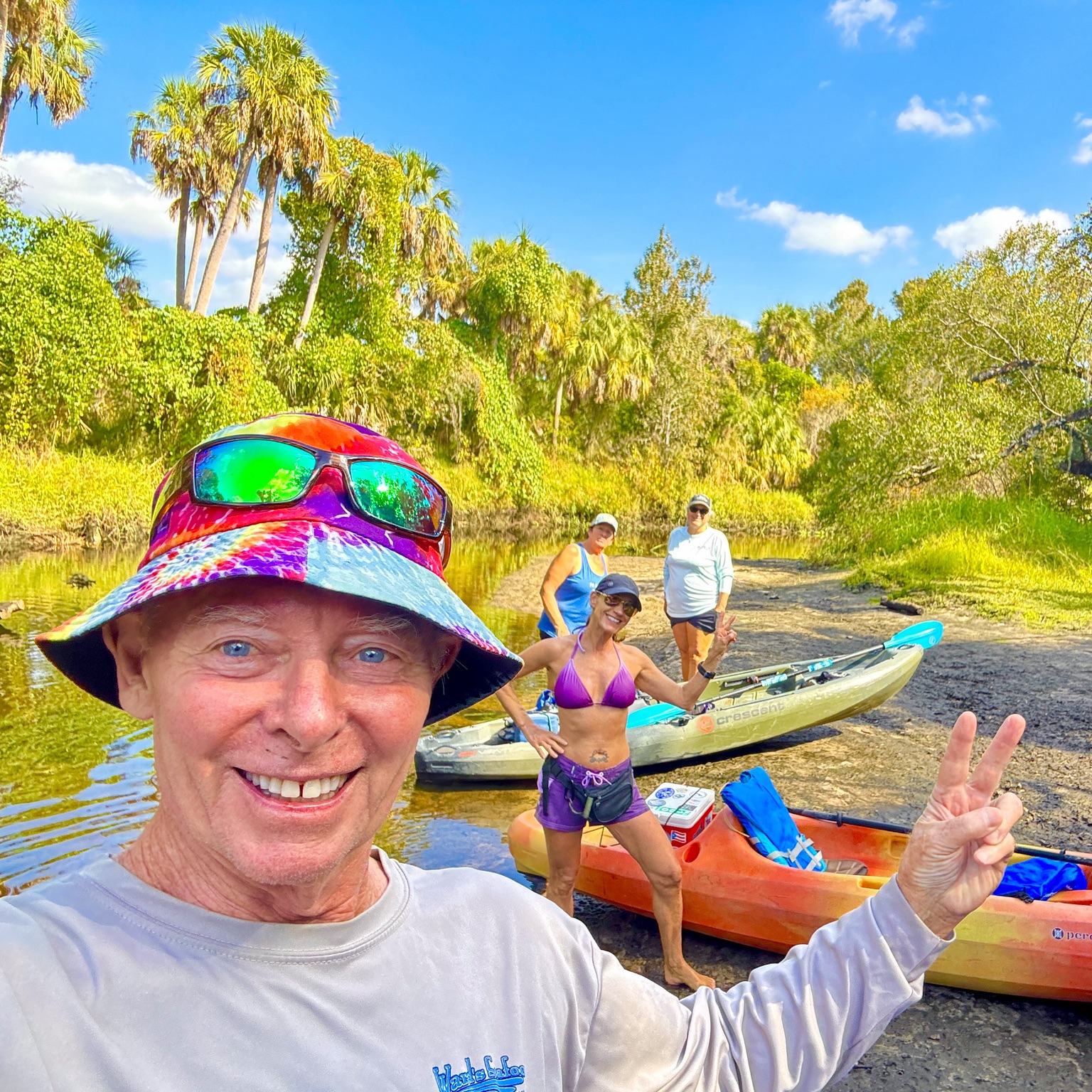
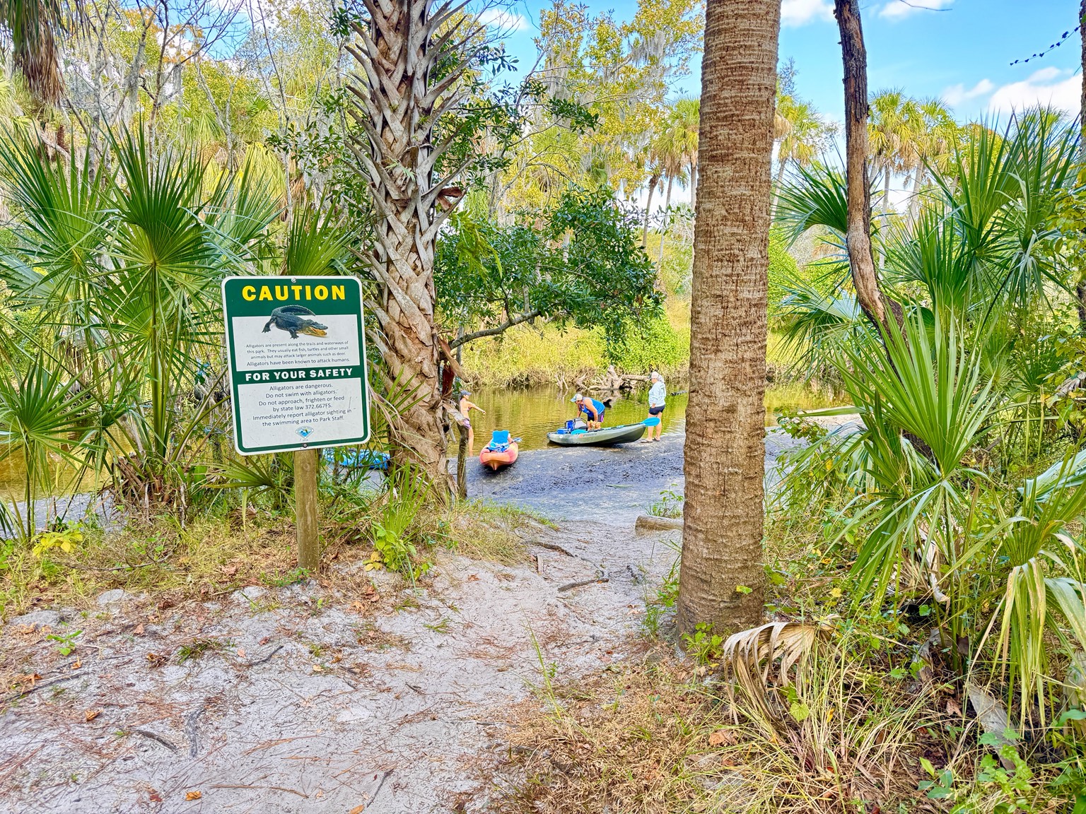
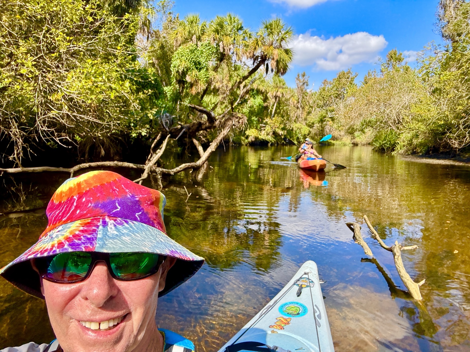
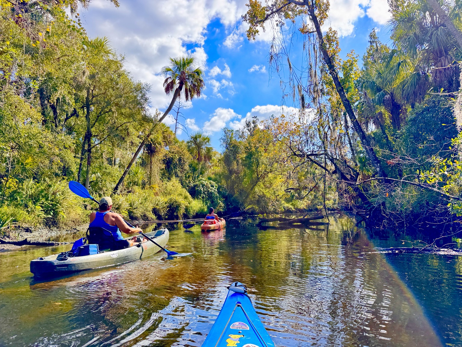
The sandbars are natural rest stops. They are places to stretch cramped legs, eat lunch, compare photographs and stand in the warm, shallow water. A six-mile outing can be completed quickly, but there is little reason to hurry. The best trips allow time to stop.
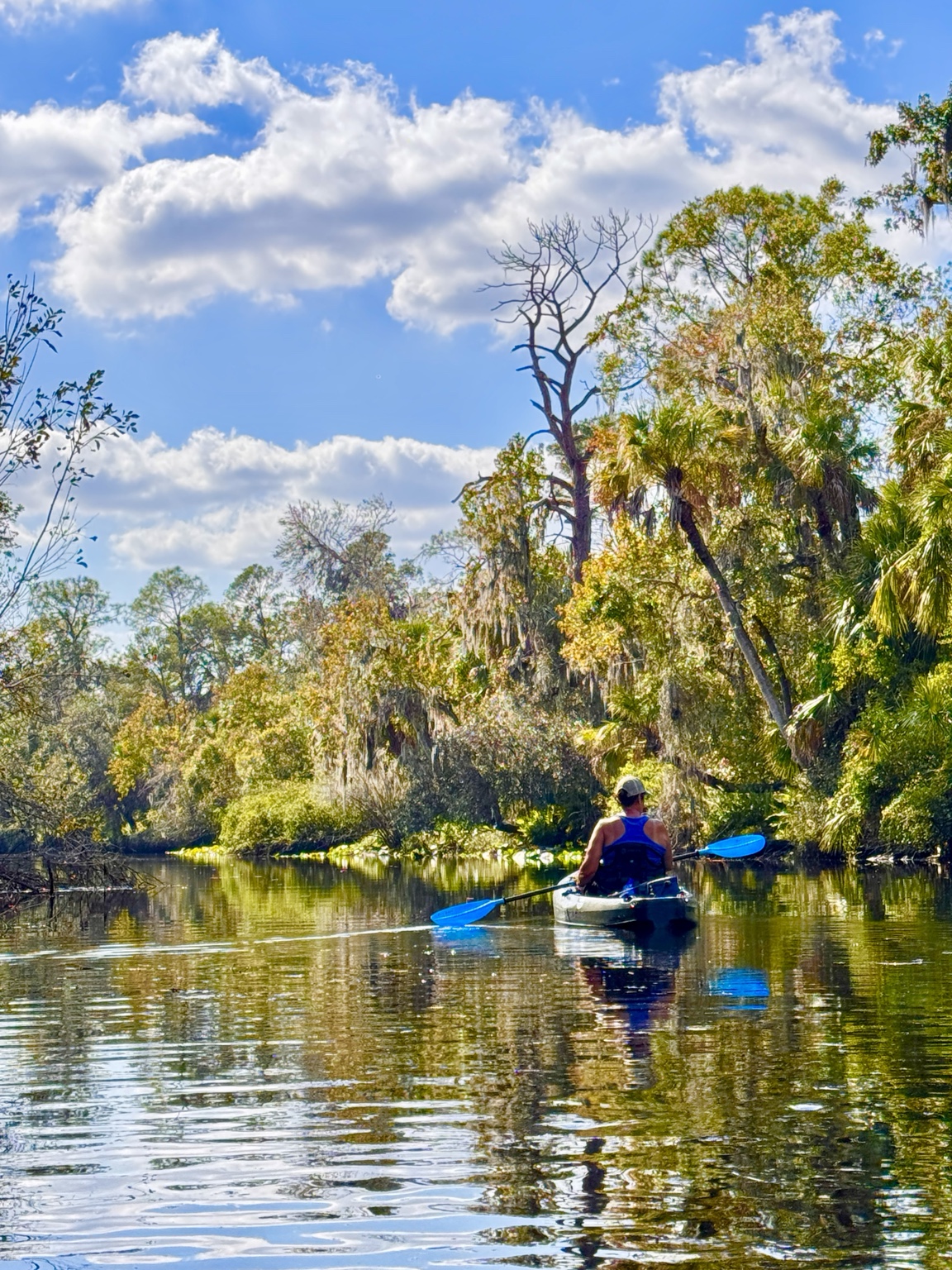
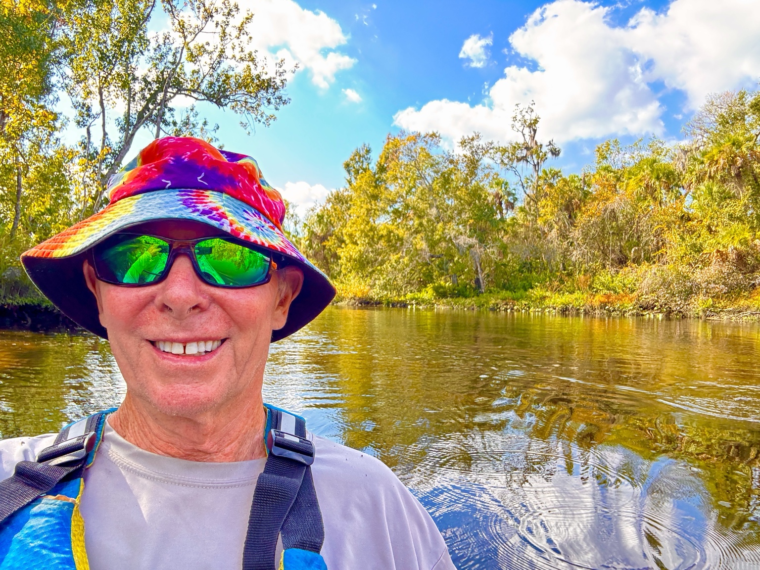
I have paddled roughly thirty Florida rivers through work and recreation, and what I enjoy most are rivers that keep changing around every bend. The Little Manatee rewards that kind of attention. You stop counting miles and start noticing the color of the sand, the shape of an oak limb, the movement of a heron and the reflection of palms in still water.
Blackwater, clear sand and mirror reflections
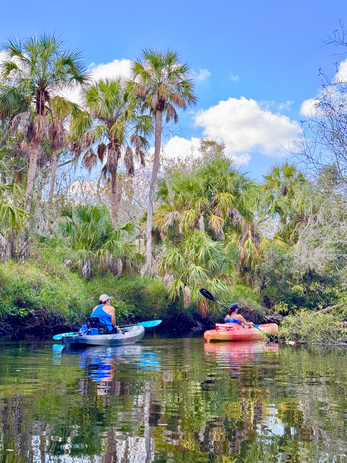
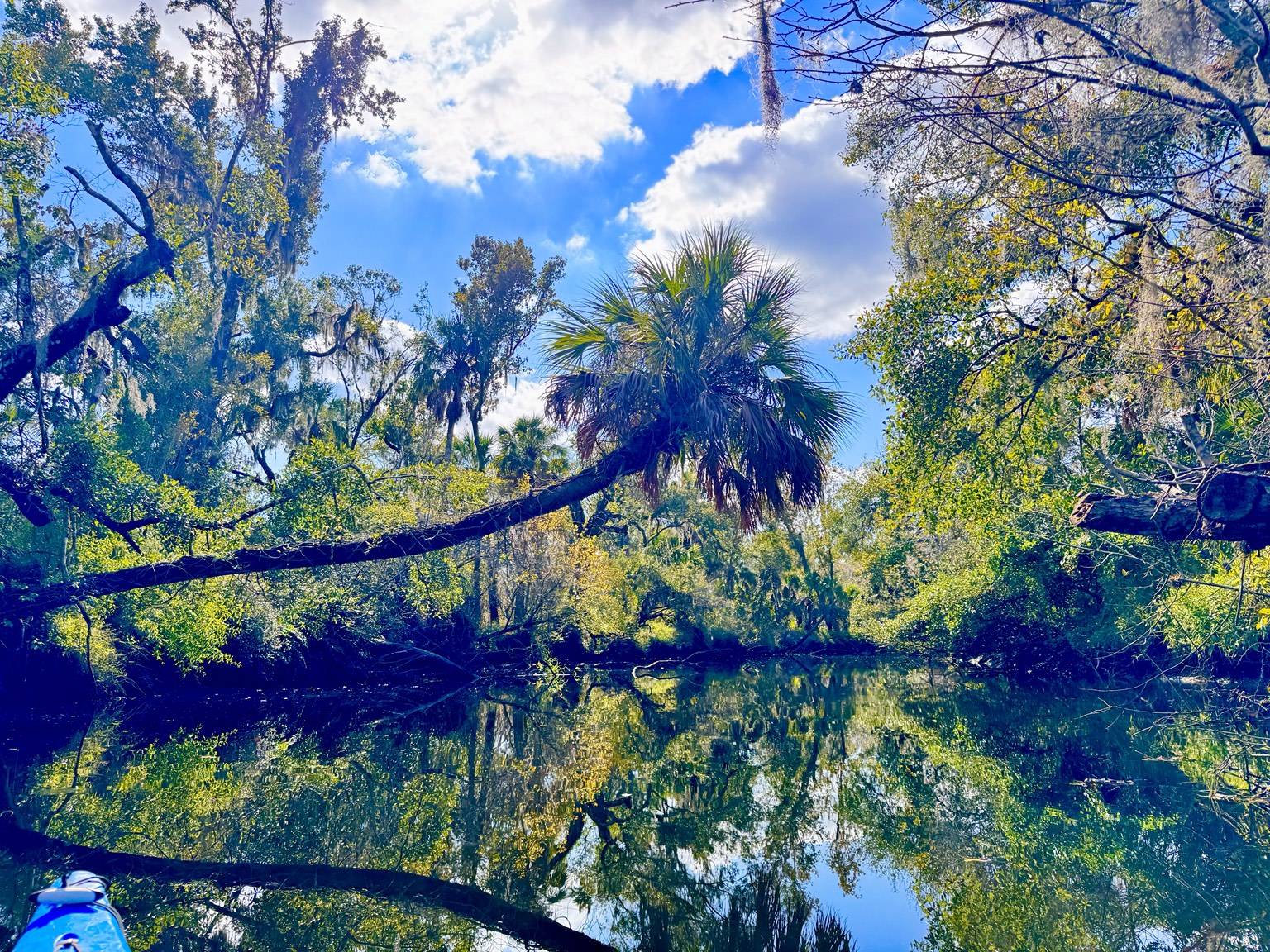
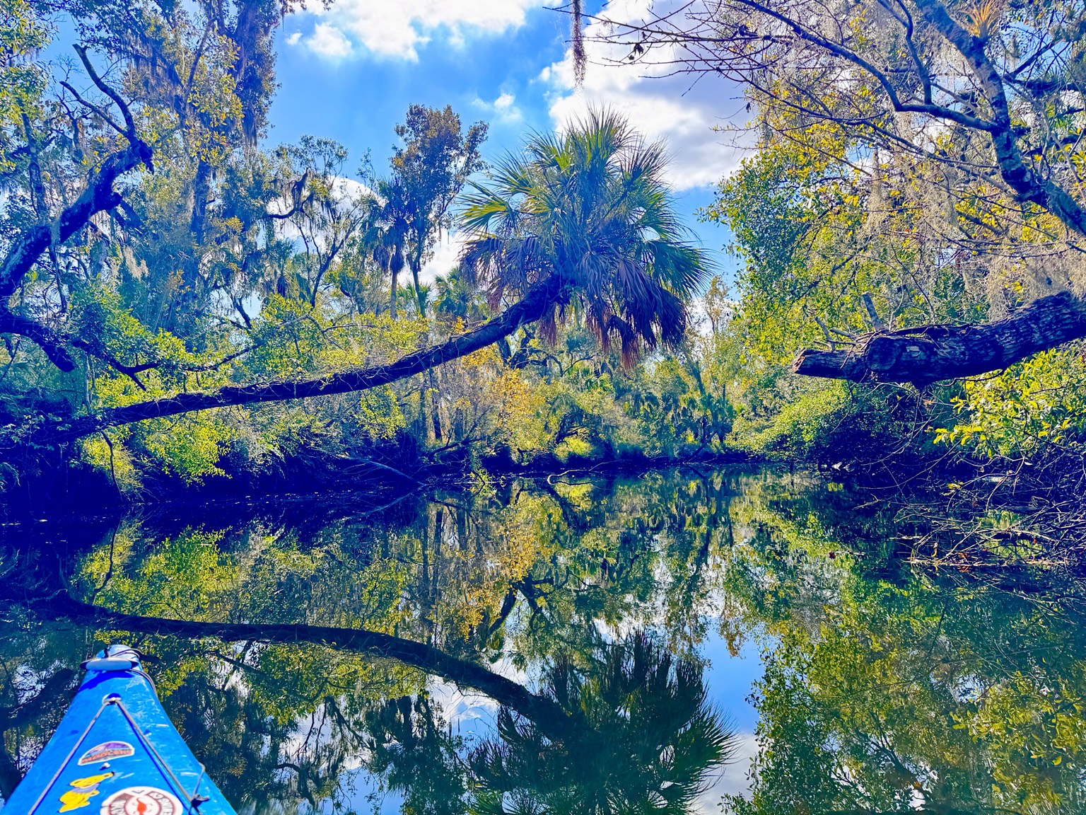
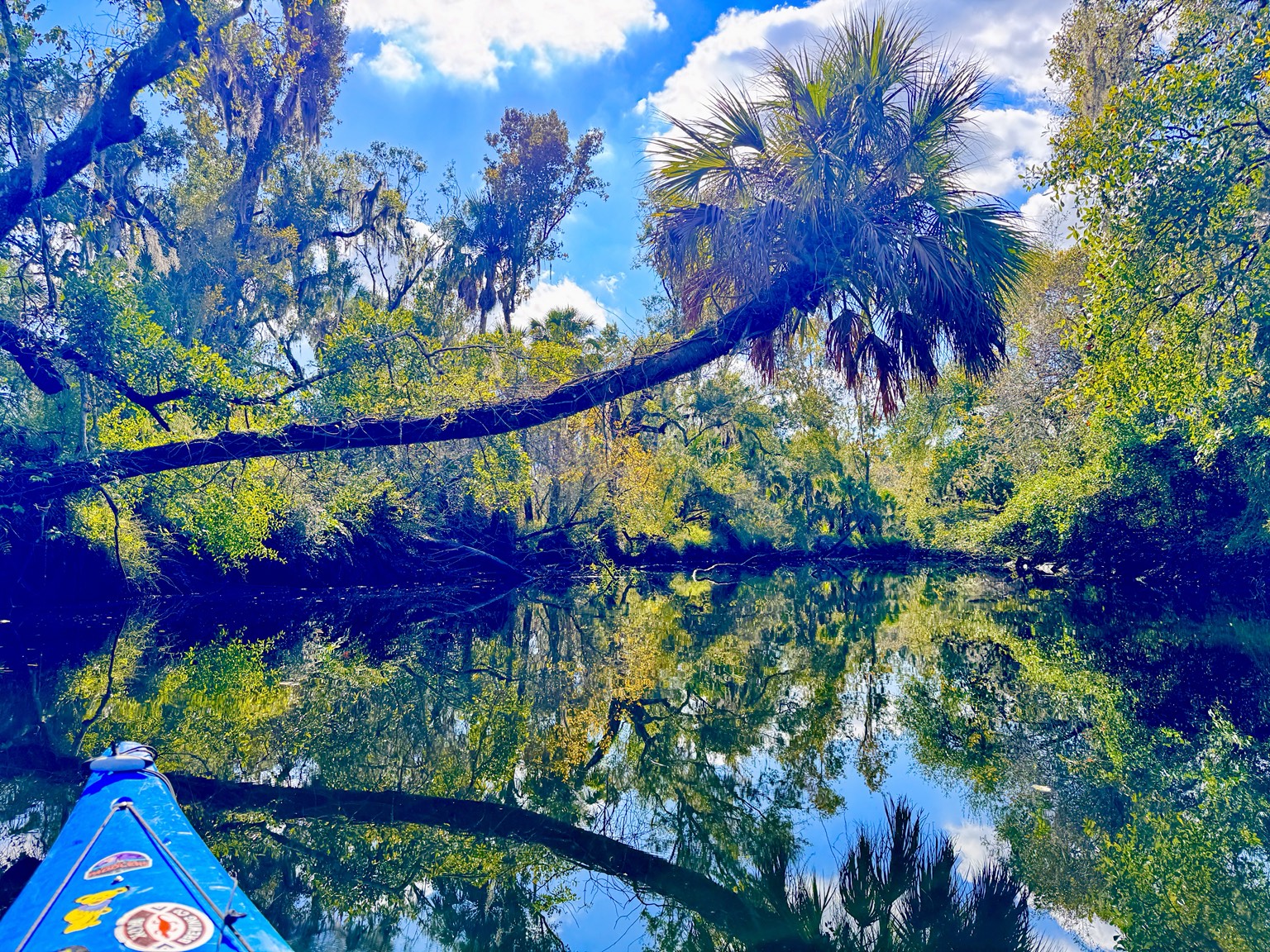
The term “blackwater” can be misleading. The tannins stain the river the color of strong tea, but in shallow sections the water can be remarkably clear. Sunlight reaches the pale sand and turns the entire channel amber and gold.
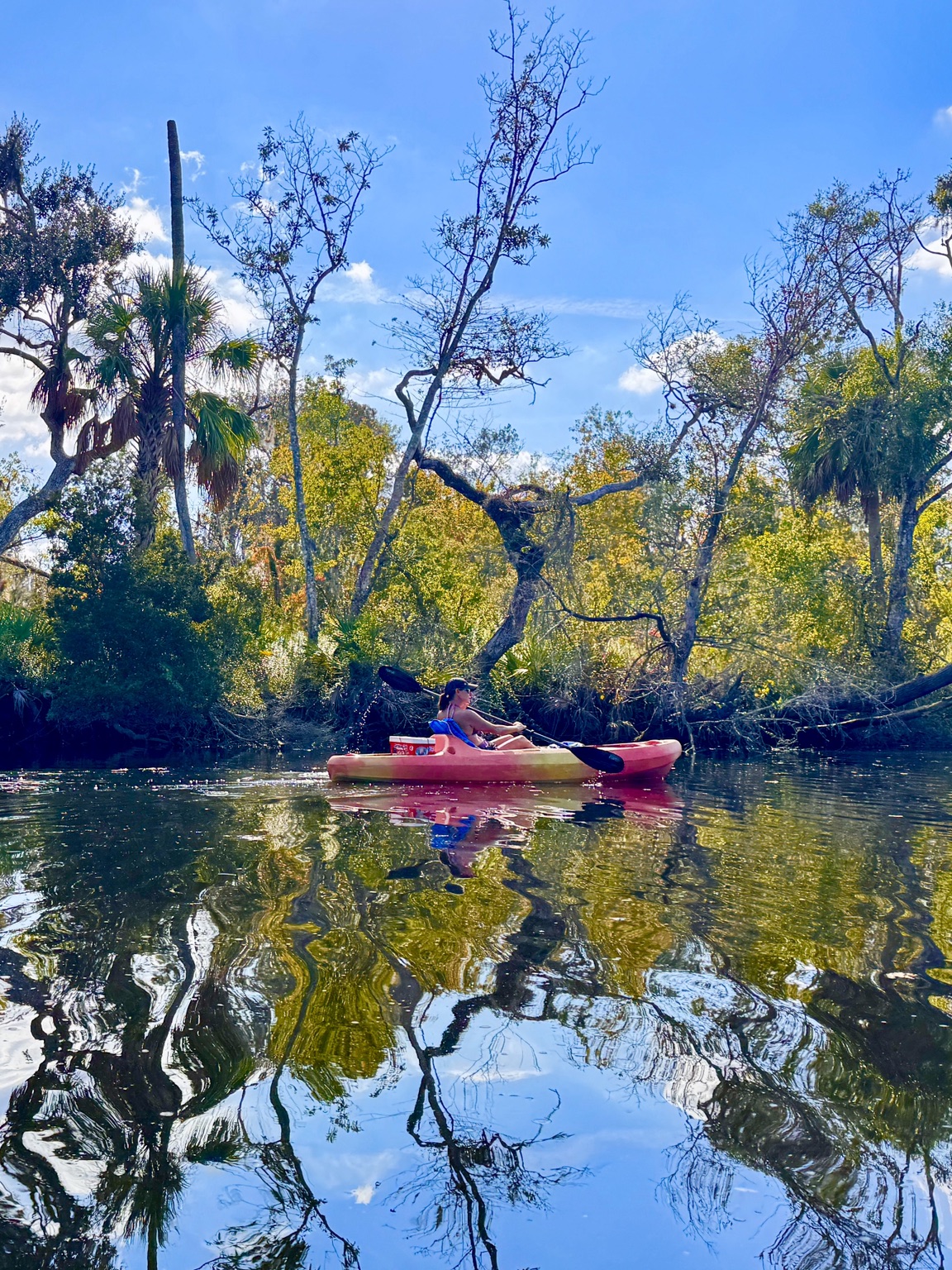
In the quietest reaches, the surface reflects the forest so perfectly that it feels as though the kayak is moving between two landscapes—one above and another beneath. Reflections are especially beautiful when the wind is light and the current slows in broader pools.

Reading the river
A winding river is never passive. Even at modest flow, paddlers need to look ahead. Fallen trees can create strainers, submerged logs can turn a boat sideways, and branches may leave only one clean opening. The safest line is not always the center of the channel.
This is exactly the kind of paddling I enjoy: enough movement and decision-making to remain interesting, but with plenty of quiet stretches where the boat simply glides. A properly fitted PFD, water, sun protection and a secure phone or GPS are basic equipment. In cooler weather, clothing should be chosen for the water temperature rather than only the warm afternoon air.
Wildlife along the banks
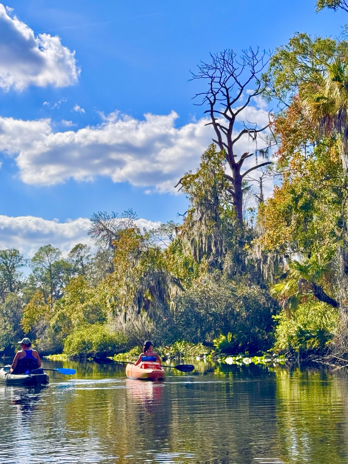
The river supports turtles, fish, alligators and an impressive variety of birds. Herons and egrets often hold their ground until the kayak is surprisingly close. Wood ducks may disappear around a bend, while barred owls call from the floodplain forest. Otters and manatees are possible but never guaranteed.
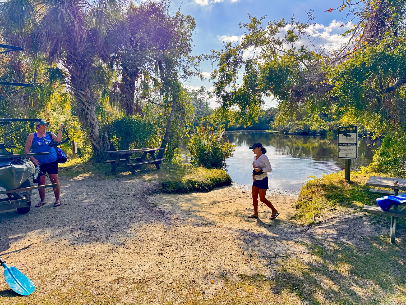
Alligators belong here, and the warning signs are appropriate. As on other Florida rivers, the sensible approach is to give them room, never feed wildlife and avoid lingering near nests or small young. Most encounters are simply another reminder that this river remains genuinely wild.
Old camps and river humor
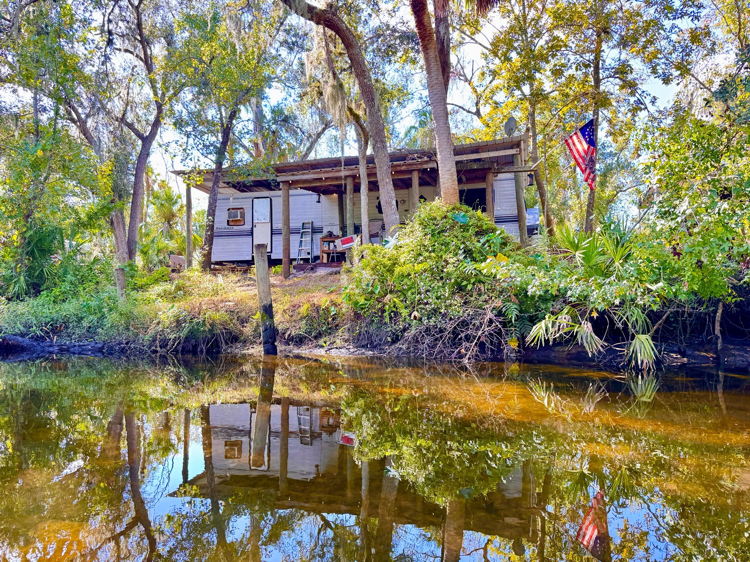
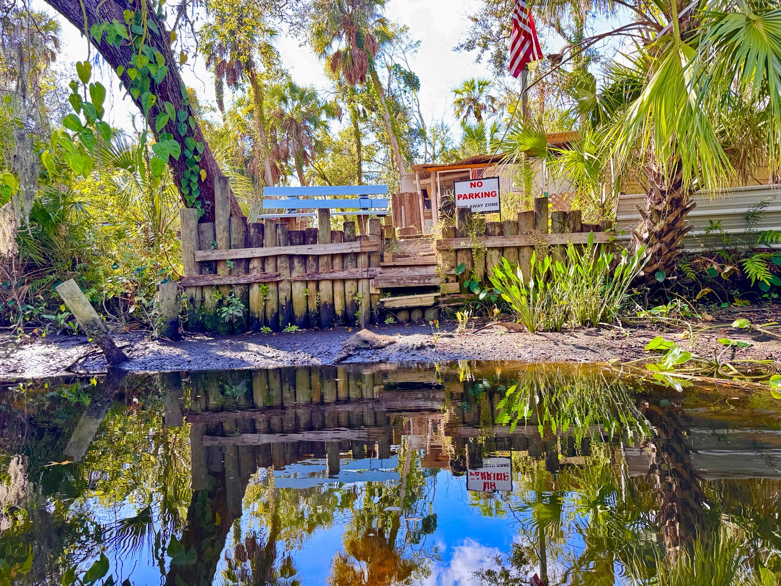
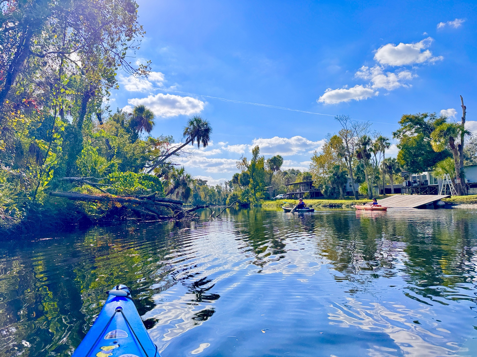
Farther downstream, signs of human life return: old campers, rough docks, modest river homes and ramps cut into the bank. These places give the river character. They are part of an older Florida tradition of fishing camps and weekend retreats built close to the water.
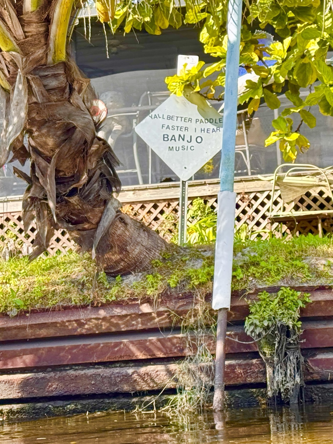
Then there is the sign: “Y’all better paddle faster, I hear banjo music.” It is exactly the sort of joke that makes everyone laugh as they drift past. The river is beautiful, but it does not take itself too seriously.
The river opens toward the finish
As the channel broadens, the tight forest tunnel gives way to wider views of sky and water. The current becomes less intimate, riverside homes appear more frequently and the takeout begins to feel close.
The Outpost’s popular downstream trip is often described as about six miles and roughly two and a half hours of paddling, but stops, photographs and water level can stretch that considerably. The state’s designated route continues farther downstream through changing floodplain and tide-influenced landscapes. Whatever route is chosen, the shuttle and takeout details should be confirmed before launching.
Official map and current planning information
River levels, launch conditions, trip schedules and prices can change. These official resources are the best places to confirm details before leaving home:
- Florida DEP Little Manatee River Paddling Trail Guide and map
- Canoe Outpost – Little Manatee River
- Canoe Outpost river-trip descriptions
- Little Manatee River State Park
The Canoe Outpost is at 18001 U.S. Highway 301 South in Wimauma. Its website currently lists daily hours of 9 a.m.–5 p.m., with launch and shuttle cutoffs varying by trip. Call ahead for current river conditions and availability.