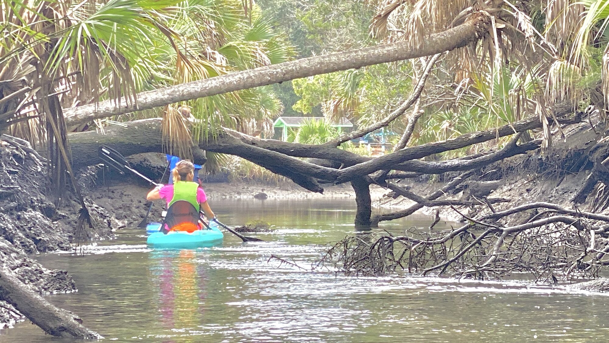
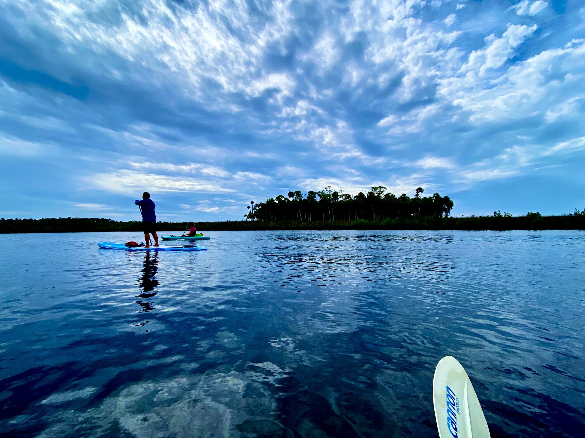
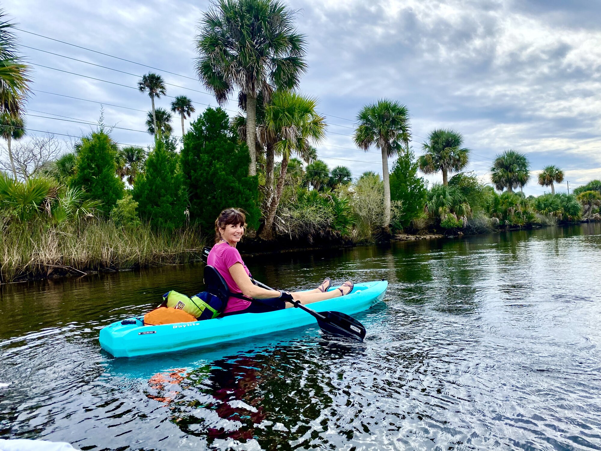
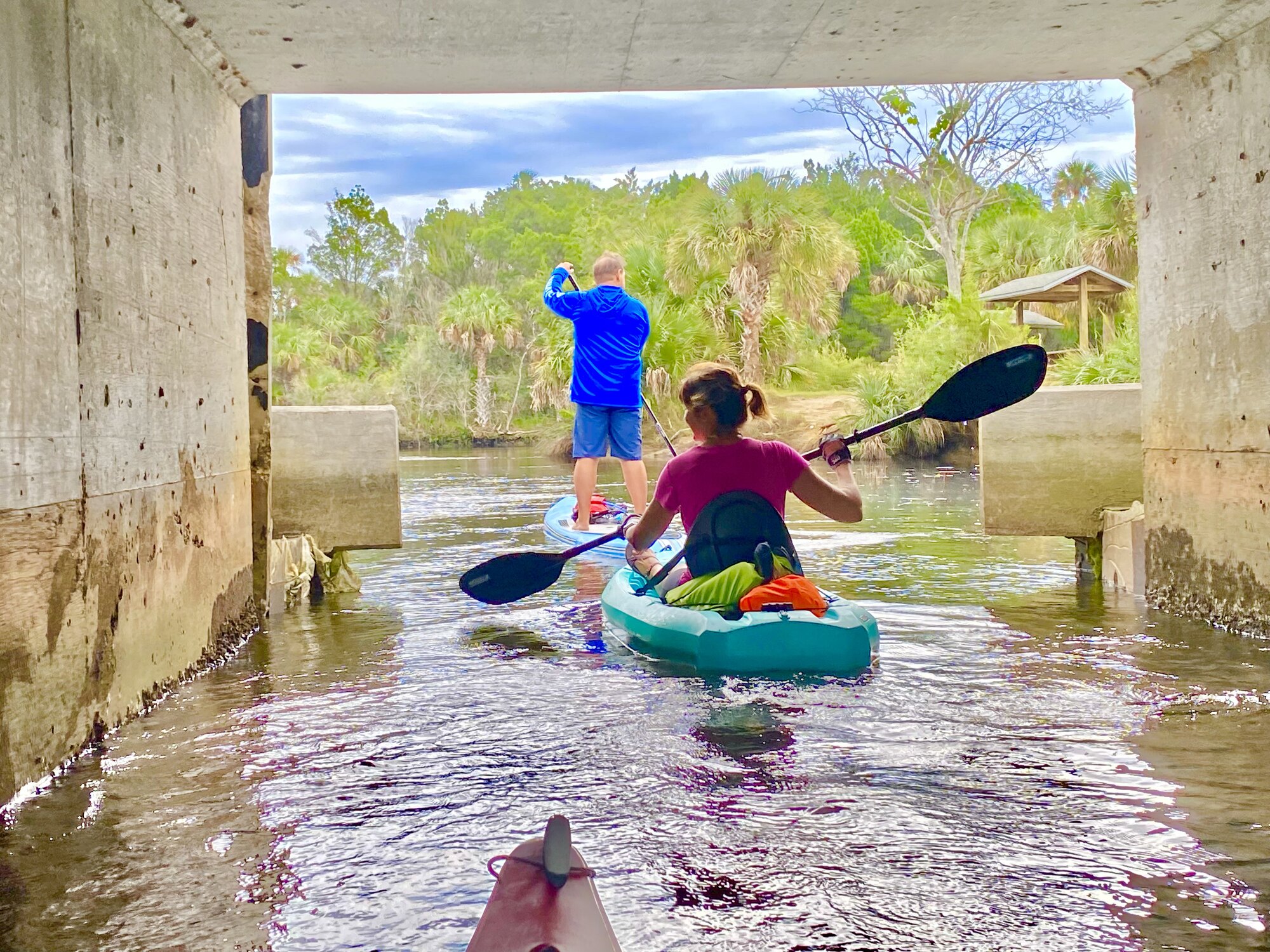
On November 4, 2021, I paddled with Diana, who was in the turquoise kayak, and David, who was on the stand-up paddleboard. We launched at Linda Pedersen Park and explored both directions from Jenkins Creek: first taking the easy inland route to Jenkins Spring, then turning back and following the creek west through coastal marshes and winding channels toward the Gulf. Our original intention was to continue all the way to Bayport, but a tropical storm was churning offshore. When we reached the mouth of Jenkins Creek, we could see the storm beginning to kick up the exposed Gulf water, so we decided not to risk the crossing and turned back into the protected creek. Later, I continued into tiny Aripeka and its sheltered harbor, then stopped at Aripeka Stone Crab Company for fresh crab claws. We have returned to this area several times since then because Jenkins Creek offers so much variety without requiring a difficult paddle.
Launching at Linda Pedersen Park
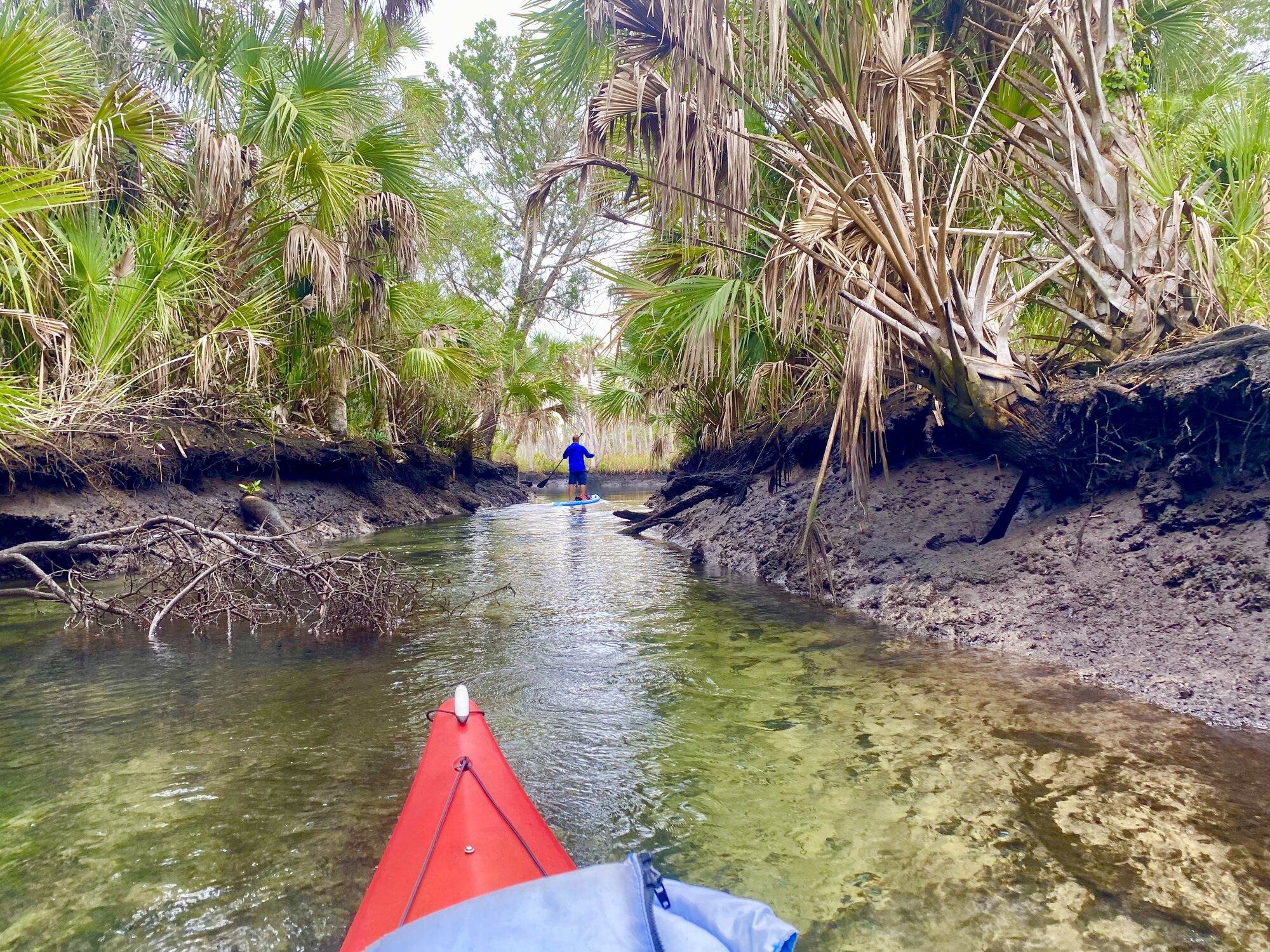
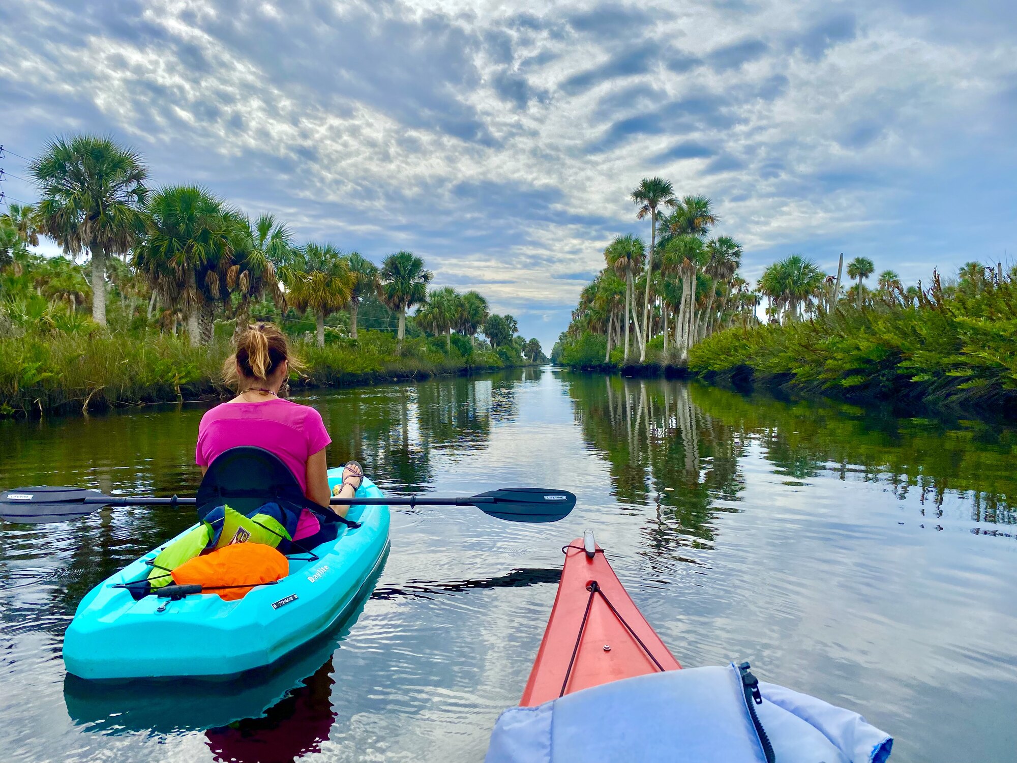
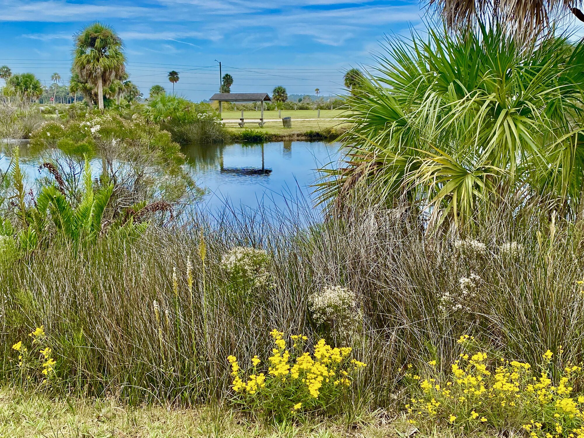
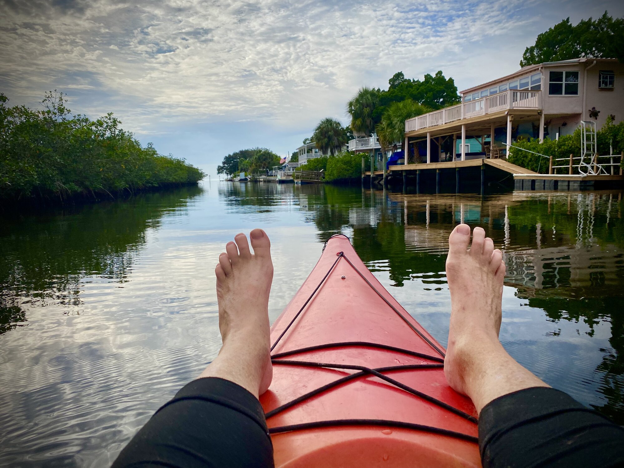
Linda Pedersen Park at Jenkins Creek is a 135-acre Hernando County park, with 25 developed acres and 110 acres of open space. It is connected by an aluminum boardwalk to Jenkins Creek Park directly across the street. That smaller park has a boat launch and a fishing and observation pier extending over Jenkins Creek, along with picnic tables and restrooms. Together the two parks make a convenient base for paddling, fishing, birdwatching and looking for the manatees that sometimes visit the creek. The launch makes this an unusually flexible destination: paddlers can head inland toward Jenkins Spring, explore the protected creek and canals, or continue west through the marsh toward the coastal paddling trail. Diana, David and I began in the narrow, clearer portion of Jenkins Creek, where the bottom was visible beneath our boats and low branches leaned over the water.
An easy side trip to Jenkins Spring
Before heading toward the Gulf, we paddled farther inland to Jenkins Spring. It is an easy side trip from the park because the water is generally protected and the distance is short. The channel becomes narrower and more enclosed, with clearer water, overhanging vegetation and a completely different feeling from the exposed salt marsh only a short distance away. It is a pleasant destination for a relaxed paddle, and one of the reasons we have returned to Jenkins Creek several times. On later visits we have continued exploring different combinations of the spring, creek, marsh and coastal trail depending on the tide, wind and how far we wanted to paddle.
Jenkins Creek opens into the coastal marsh
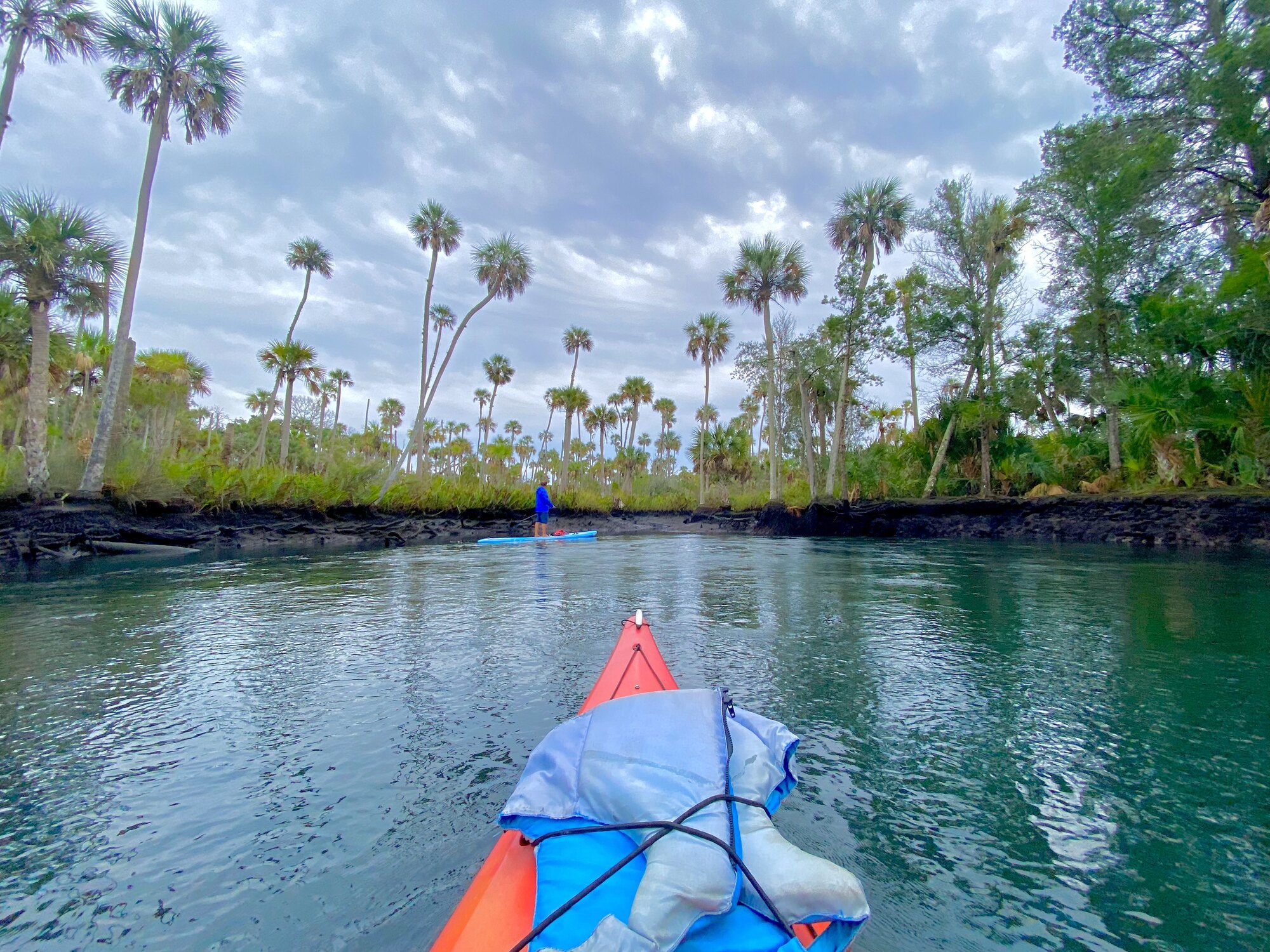
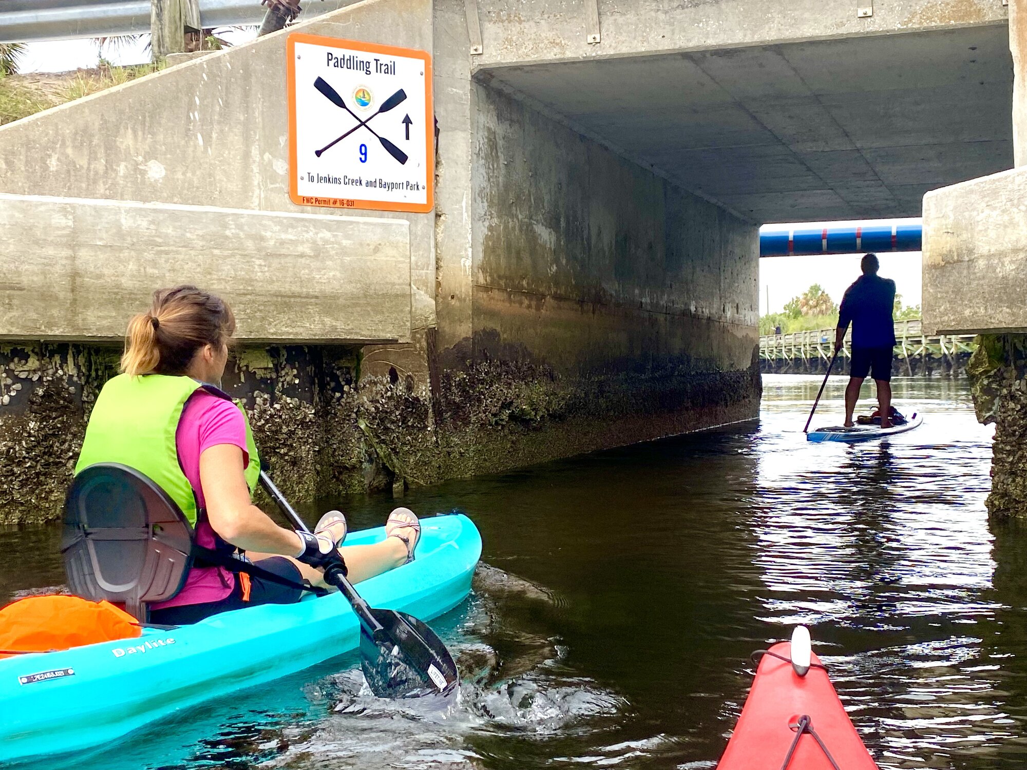
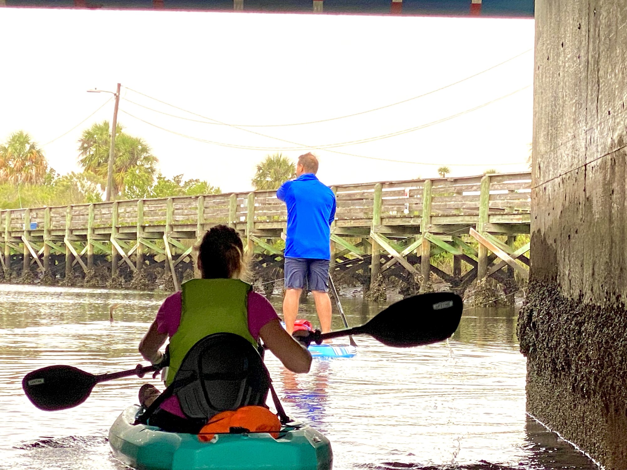
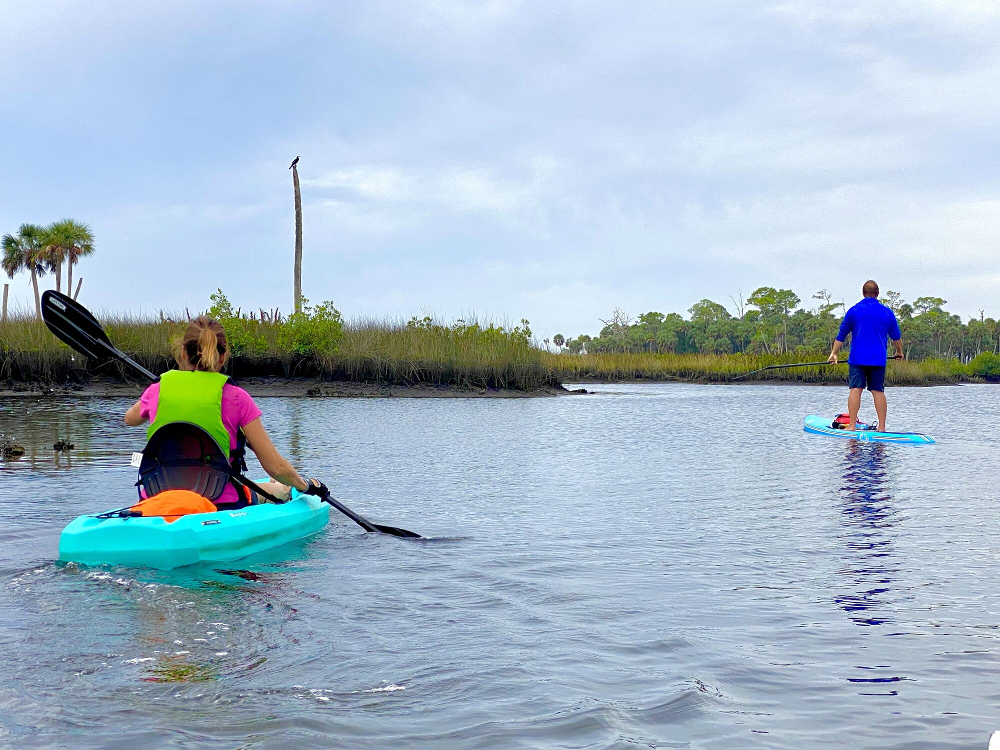
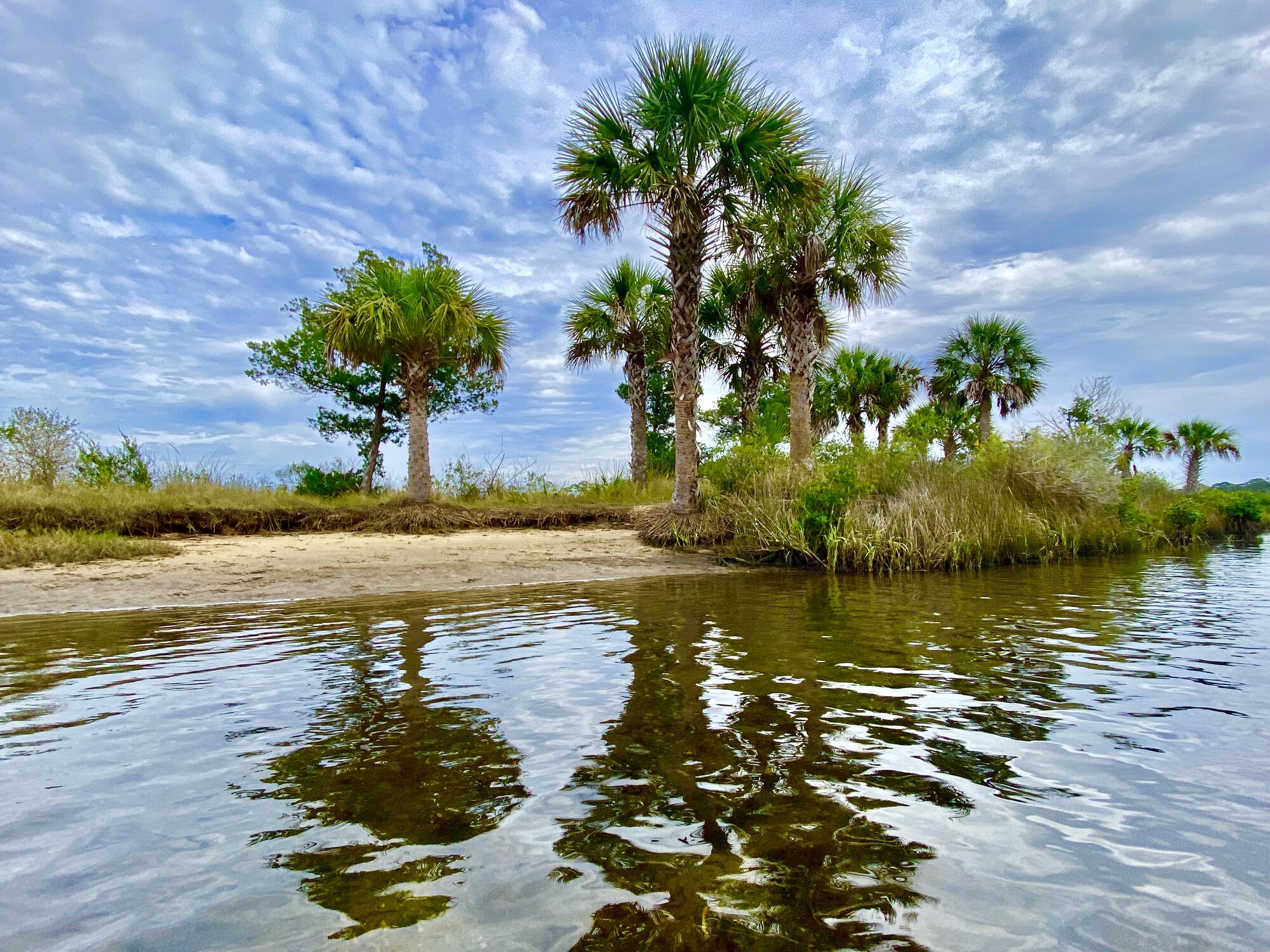
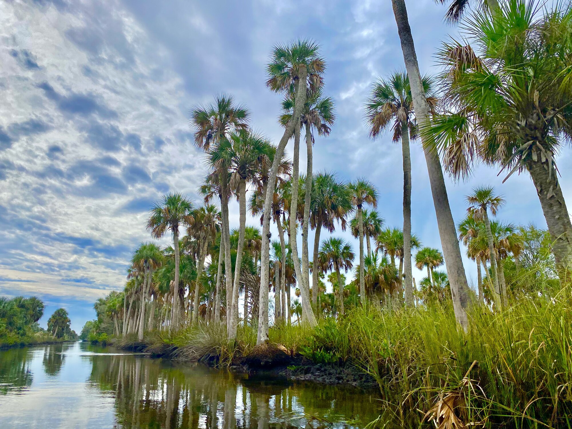
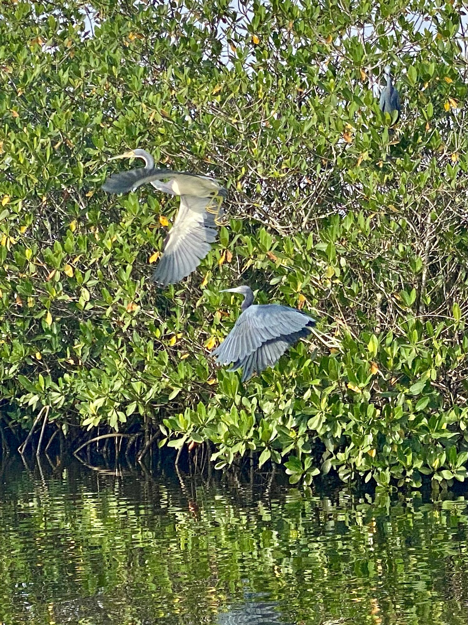
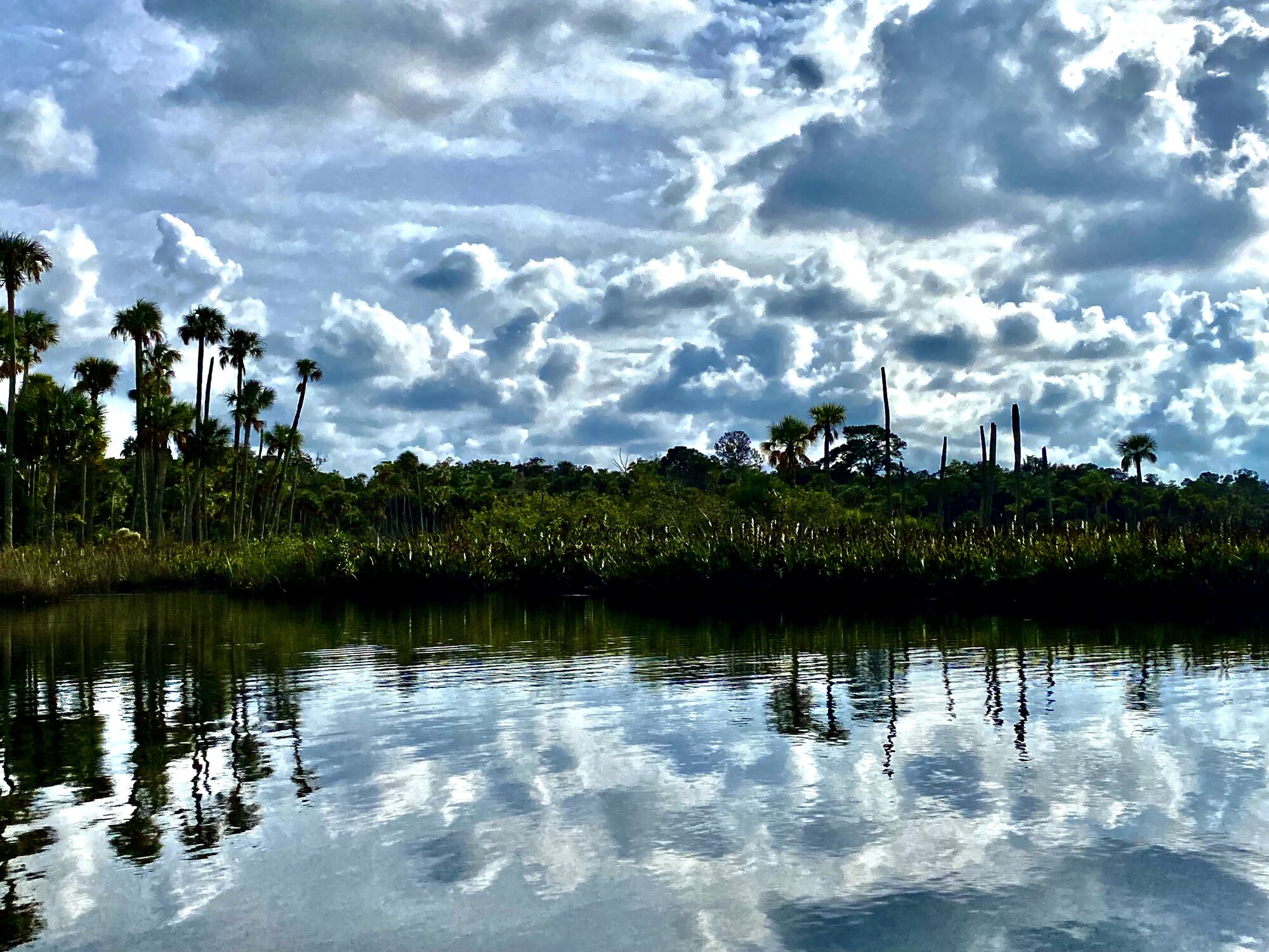
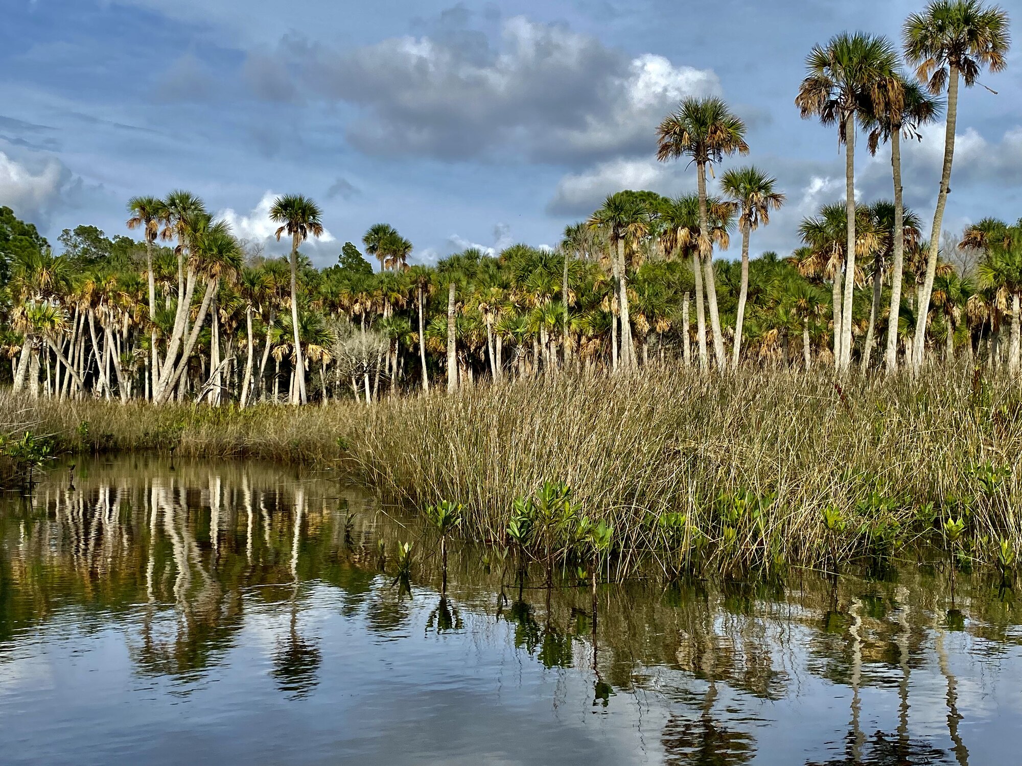
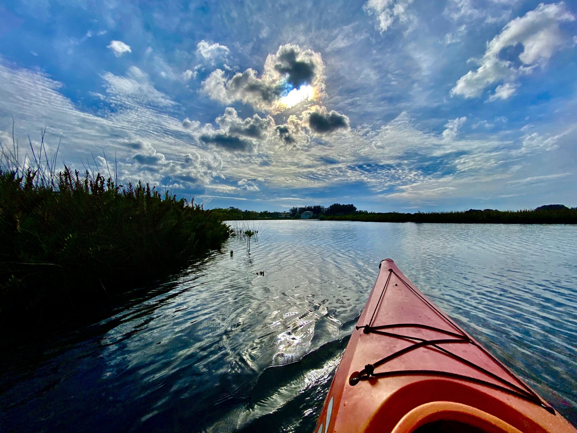
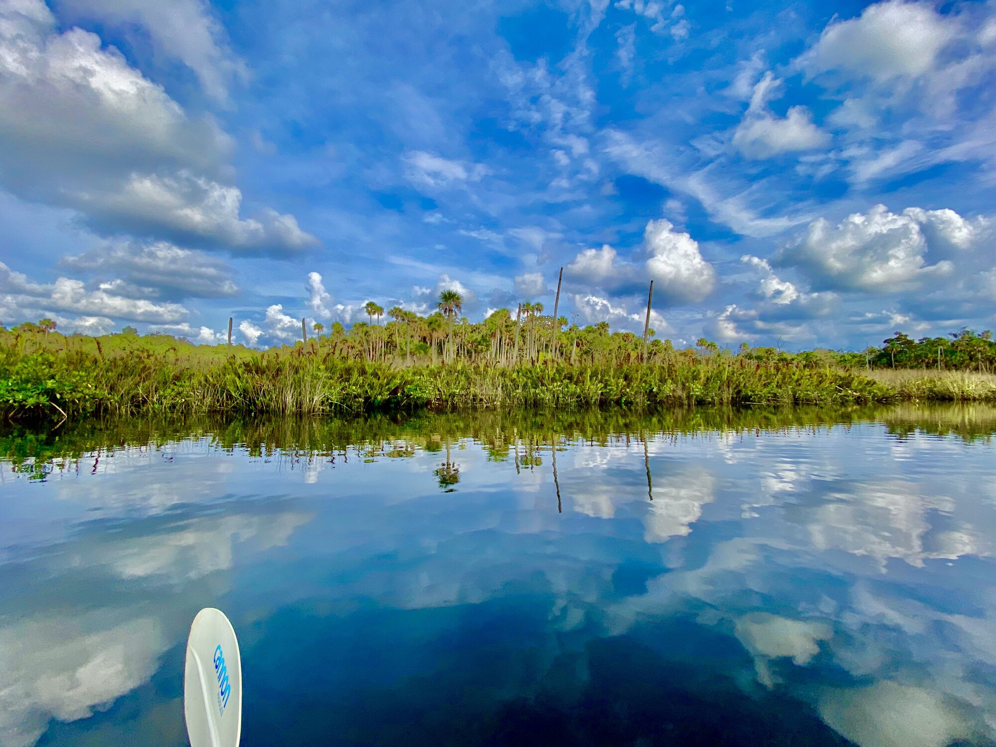
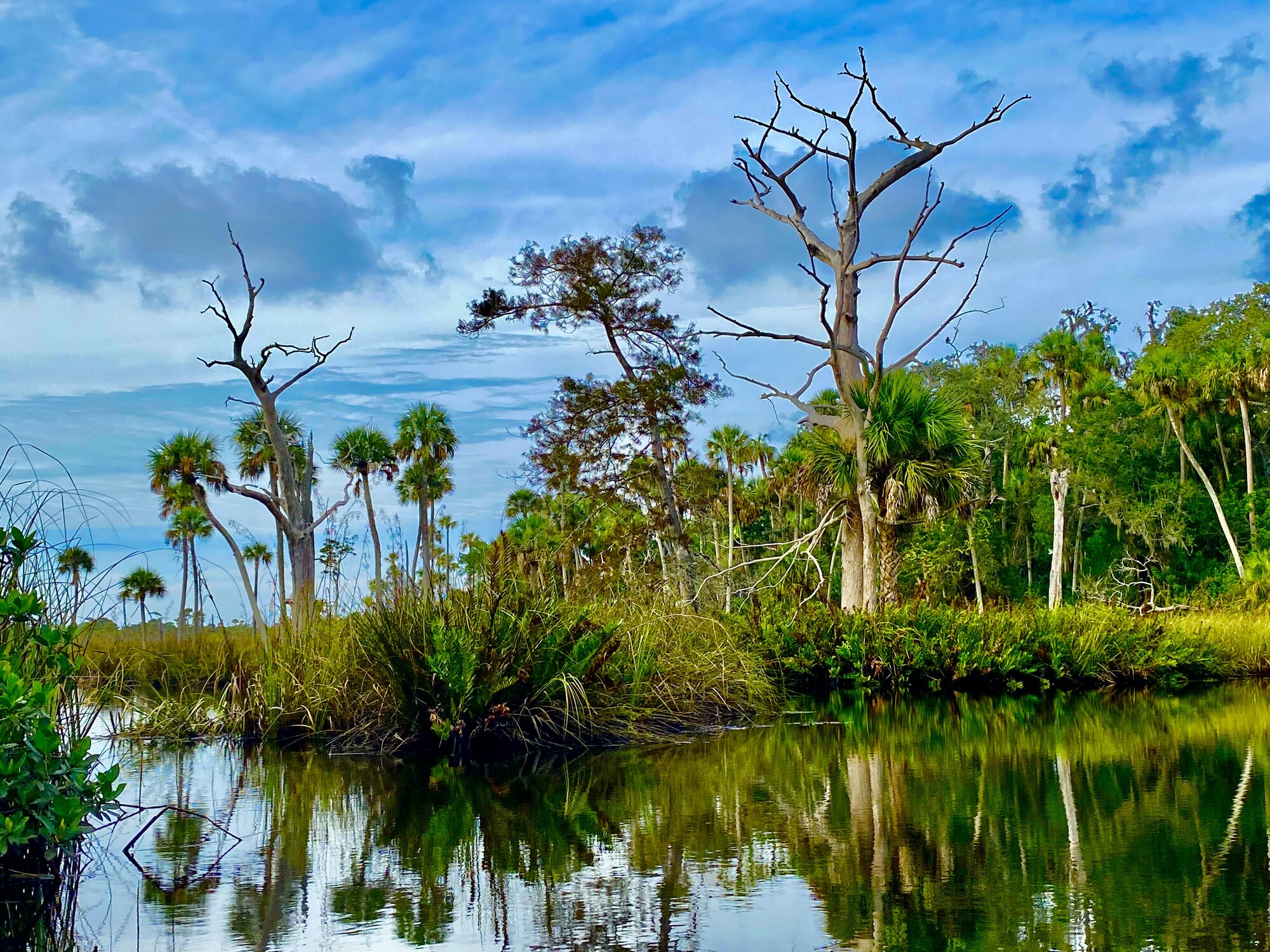
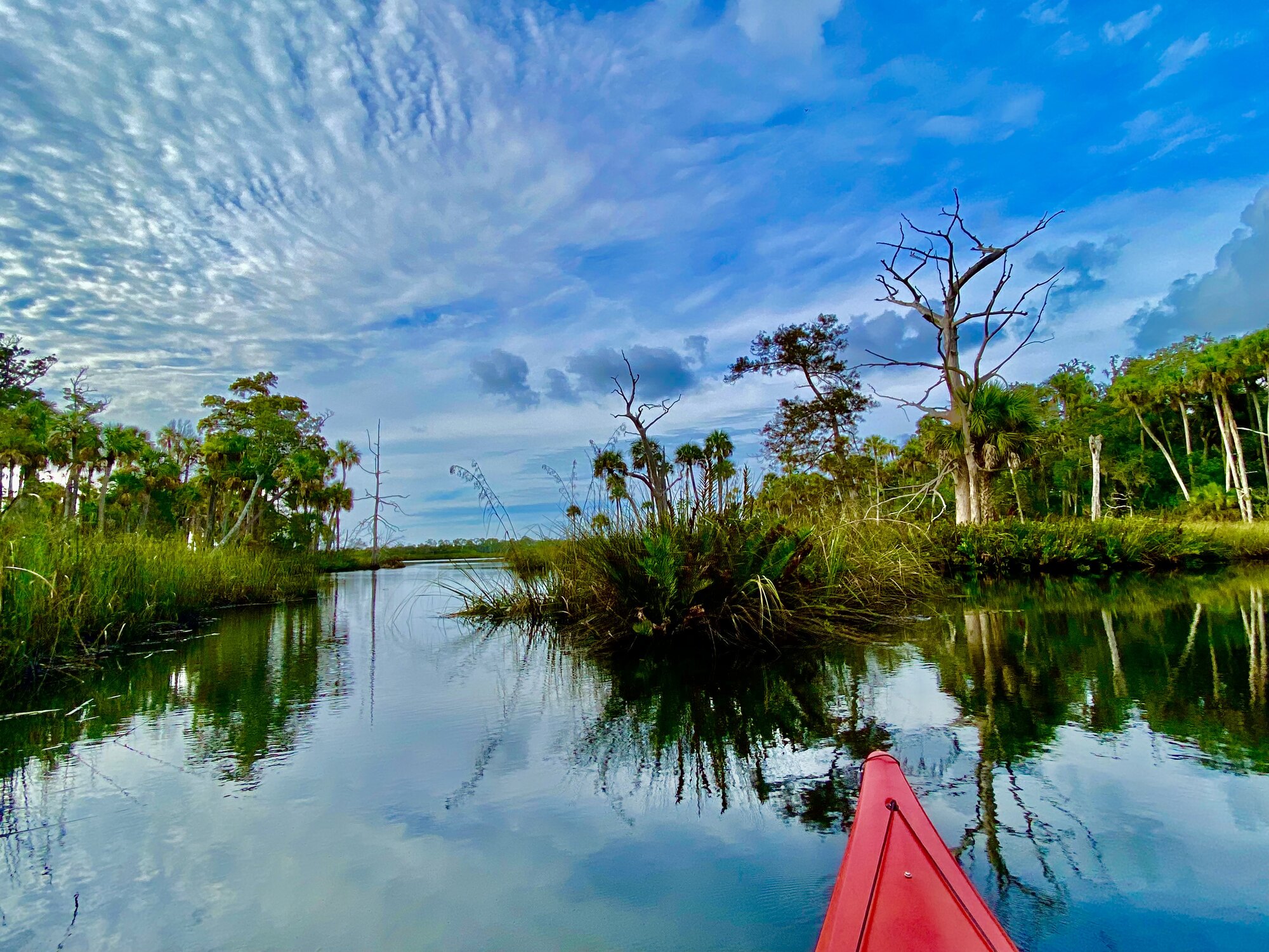
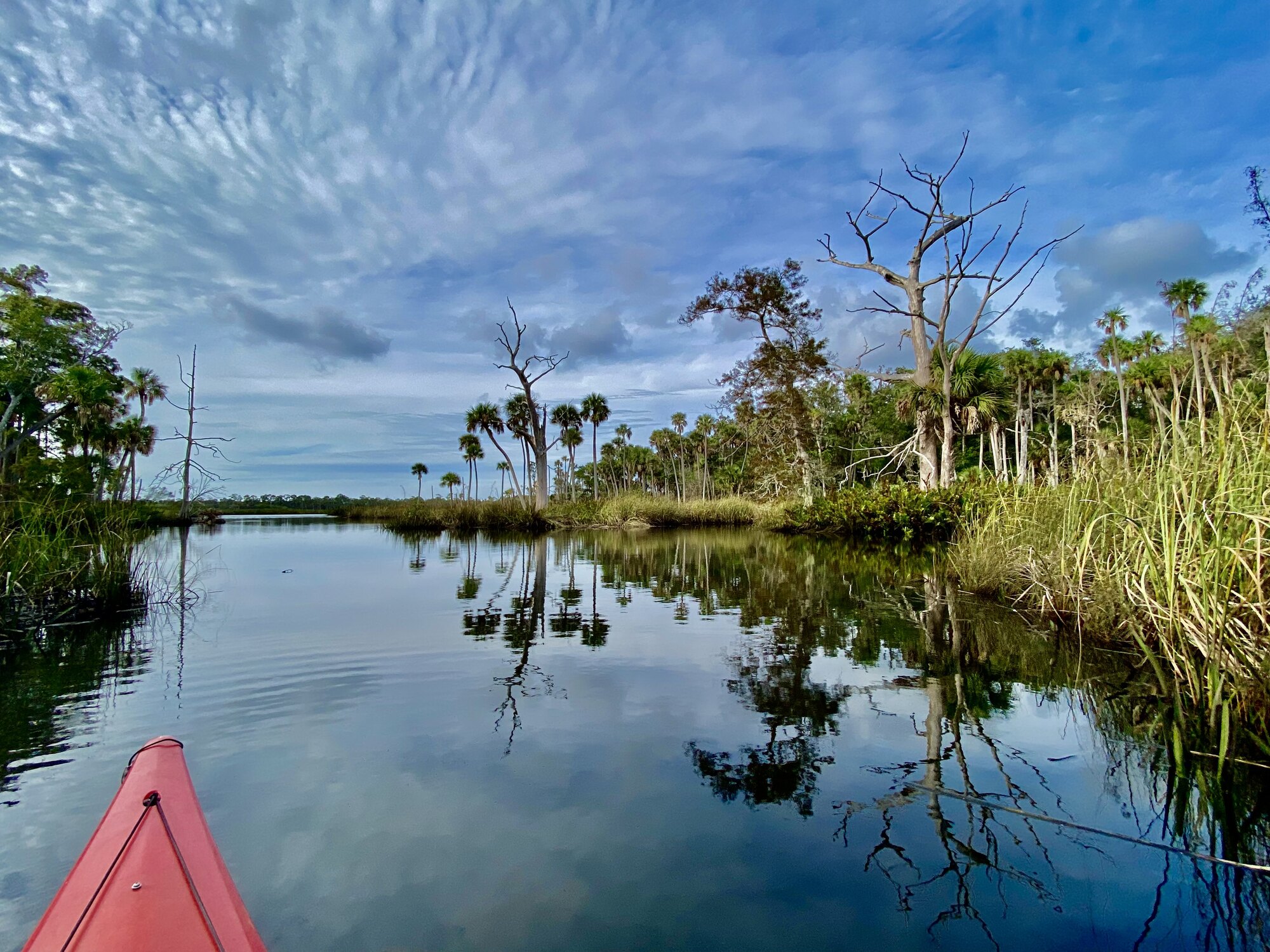
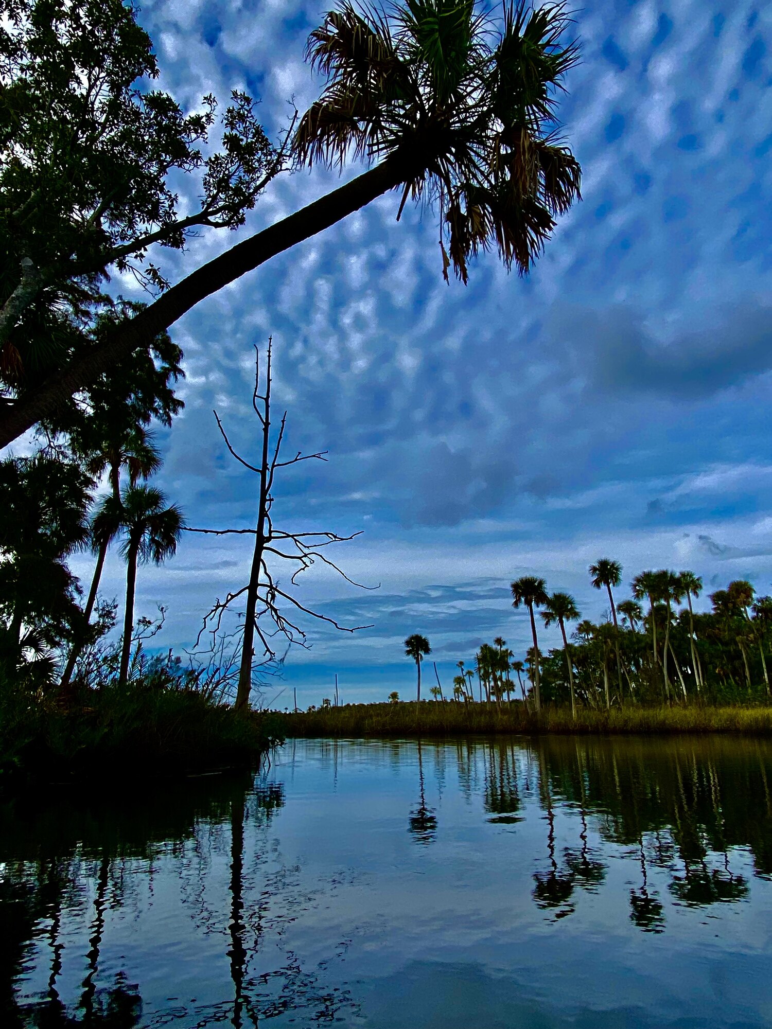
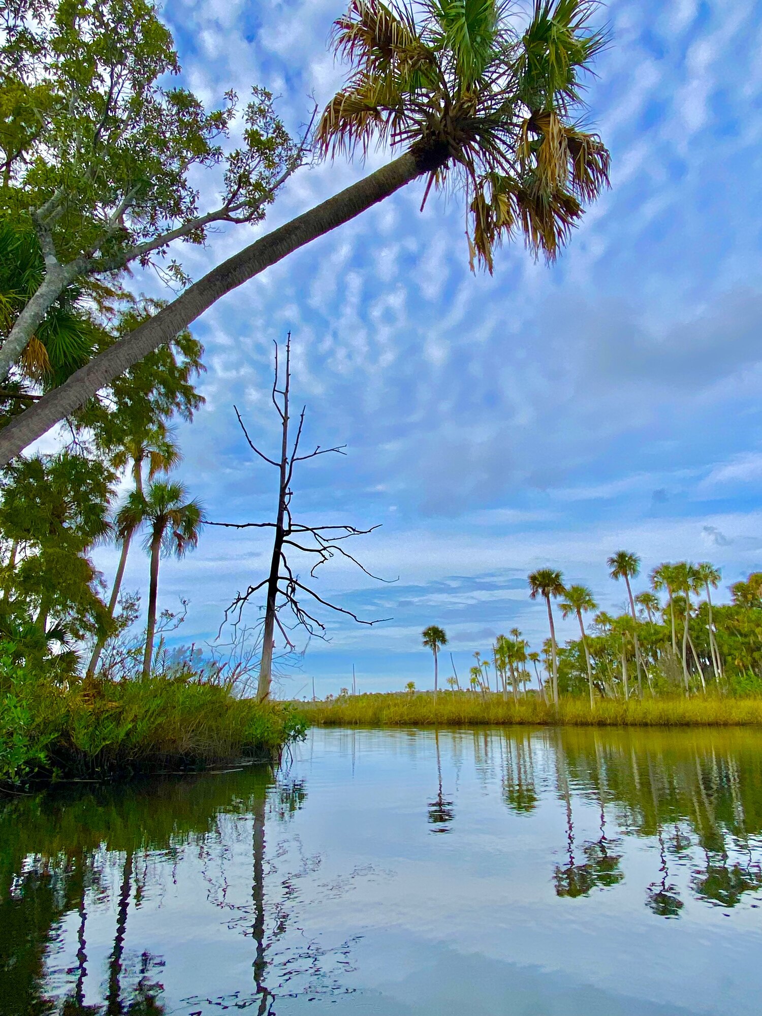
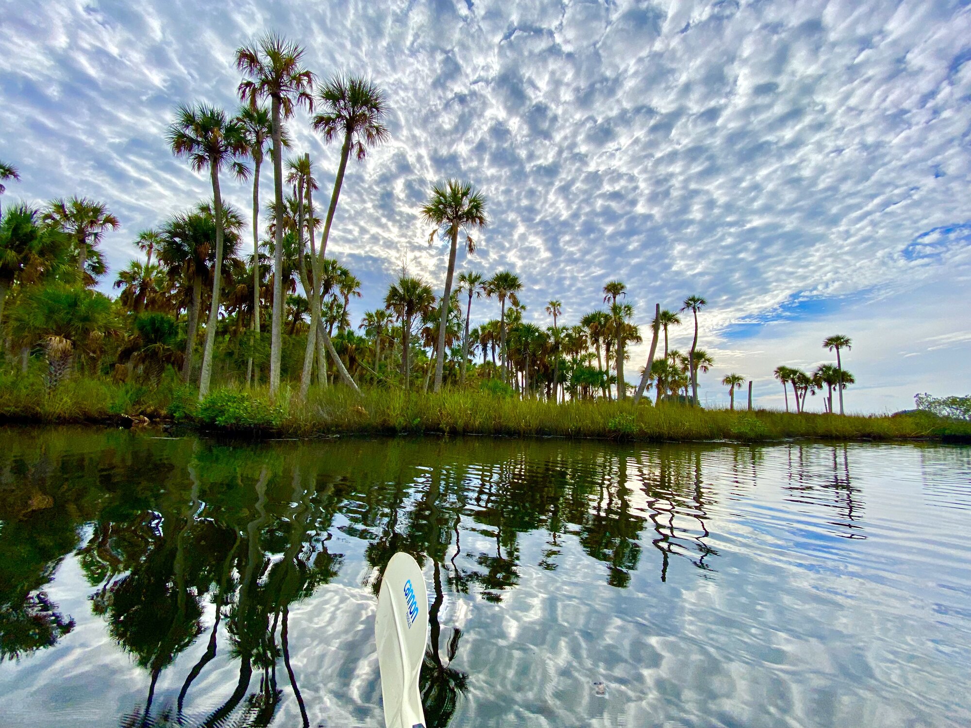
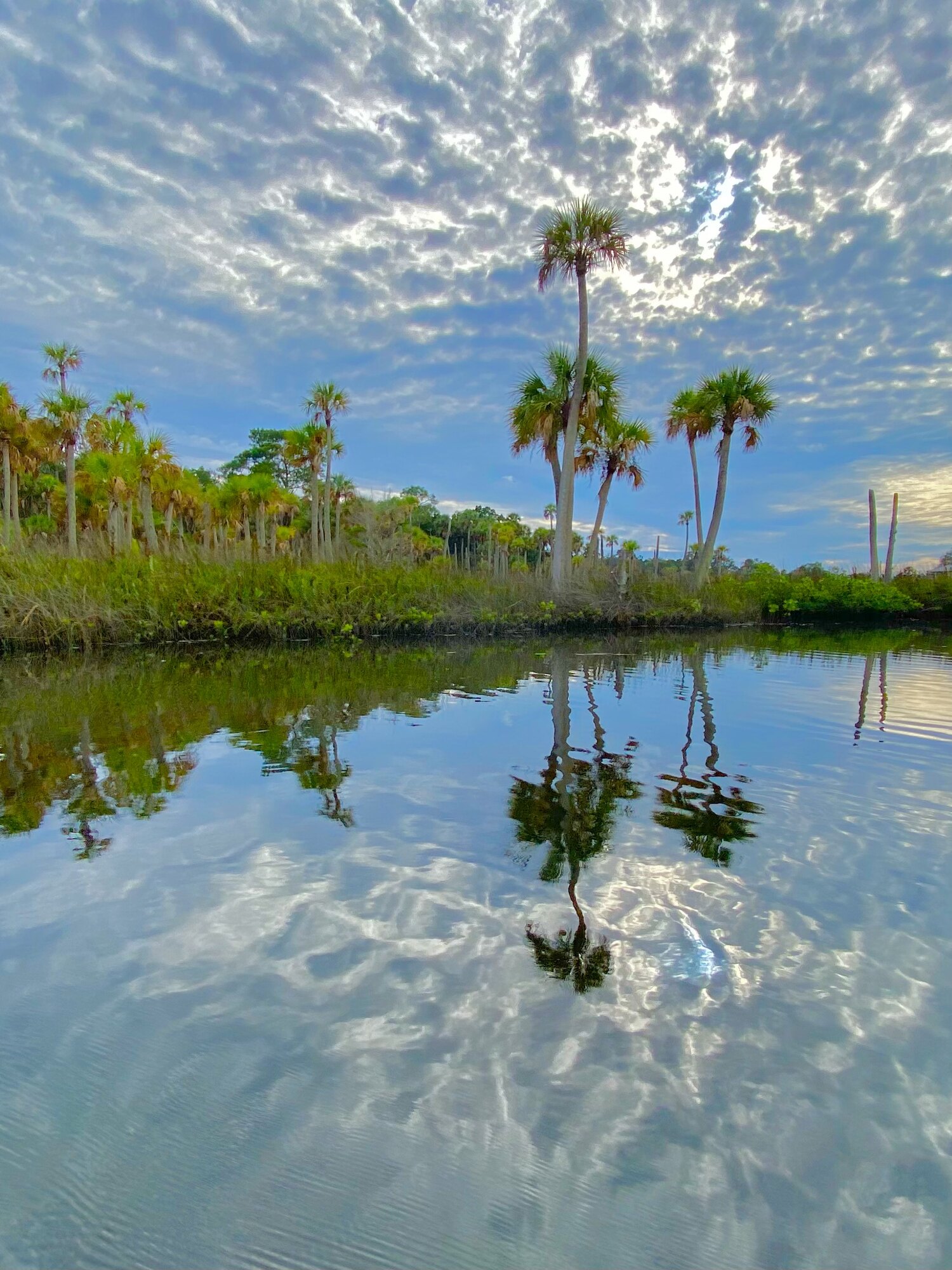
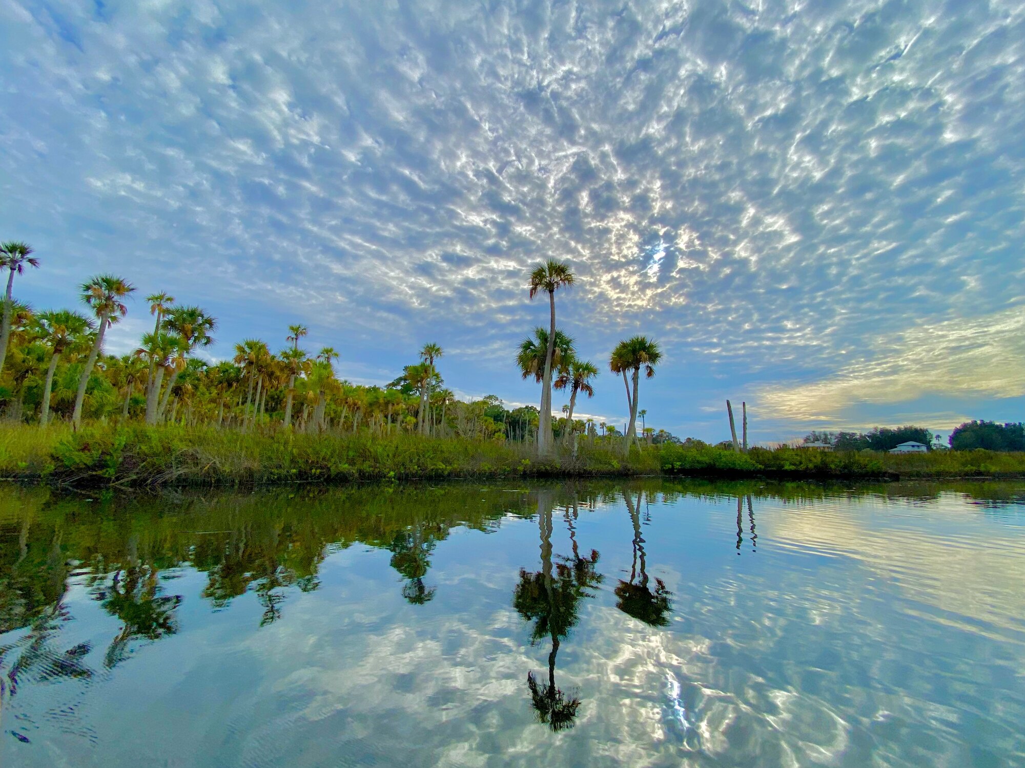
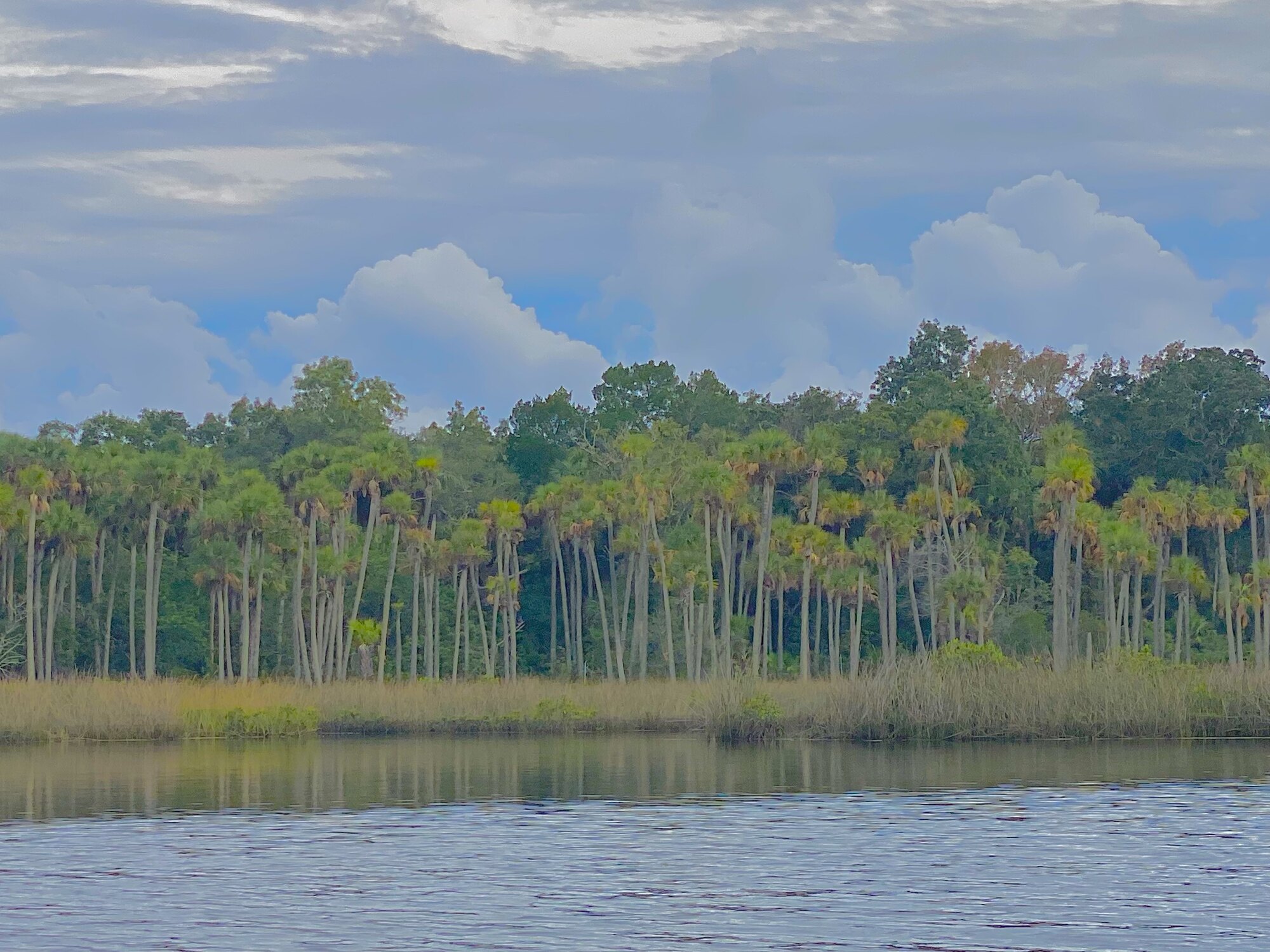
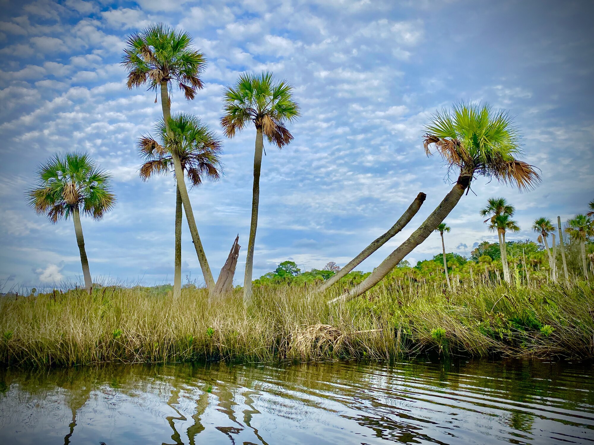
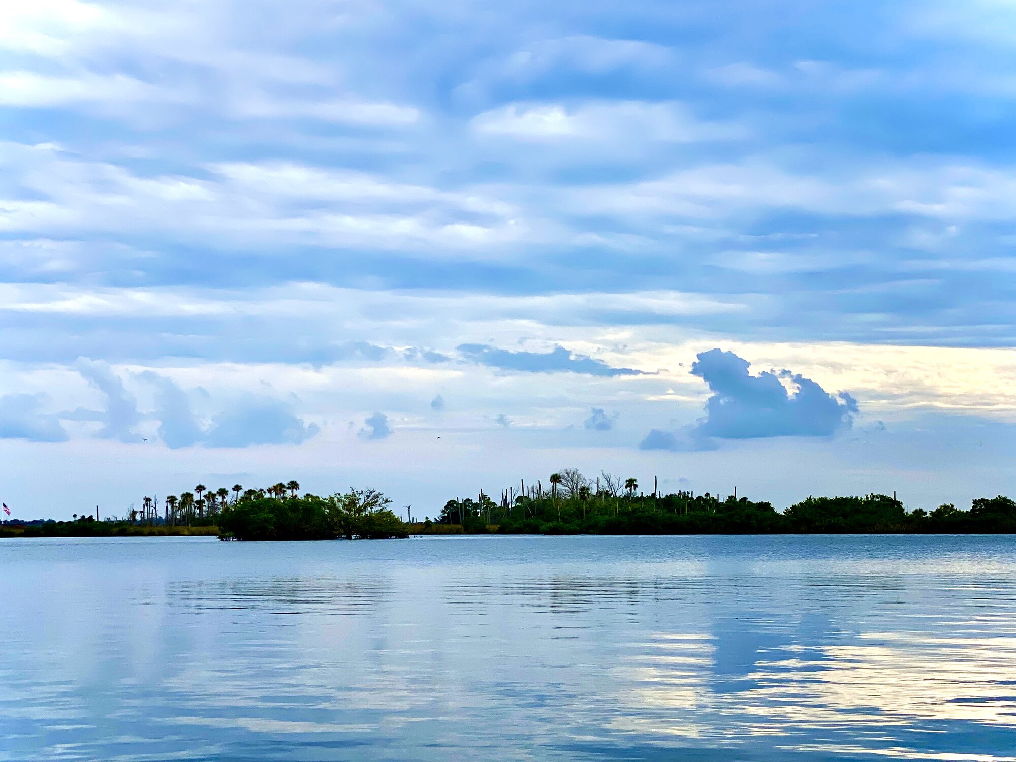
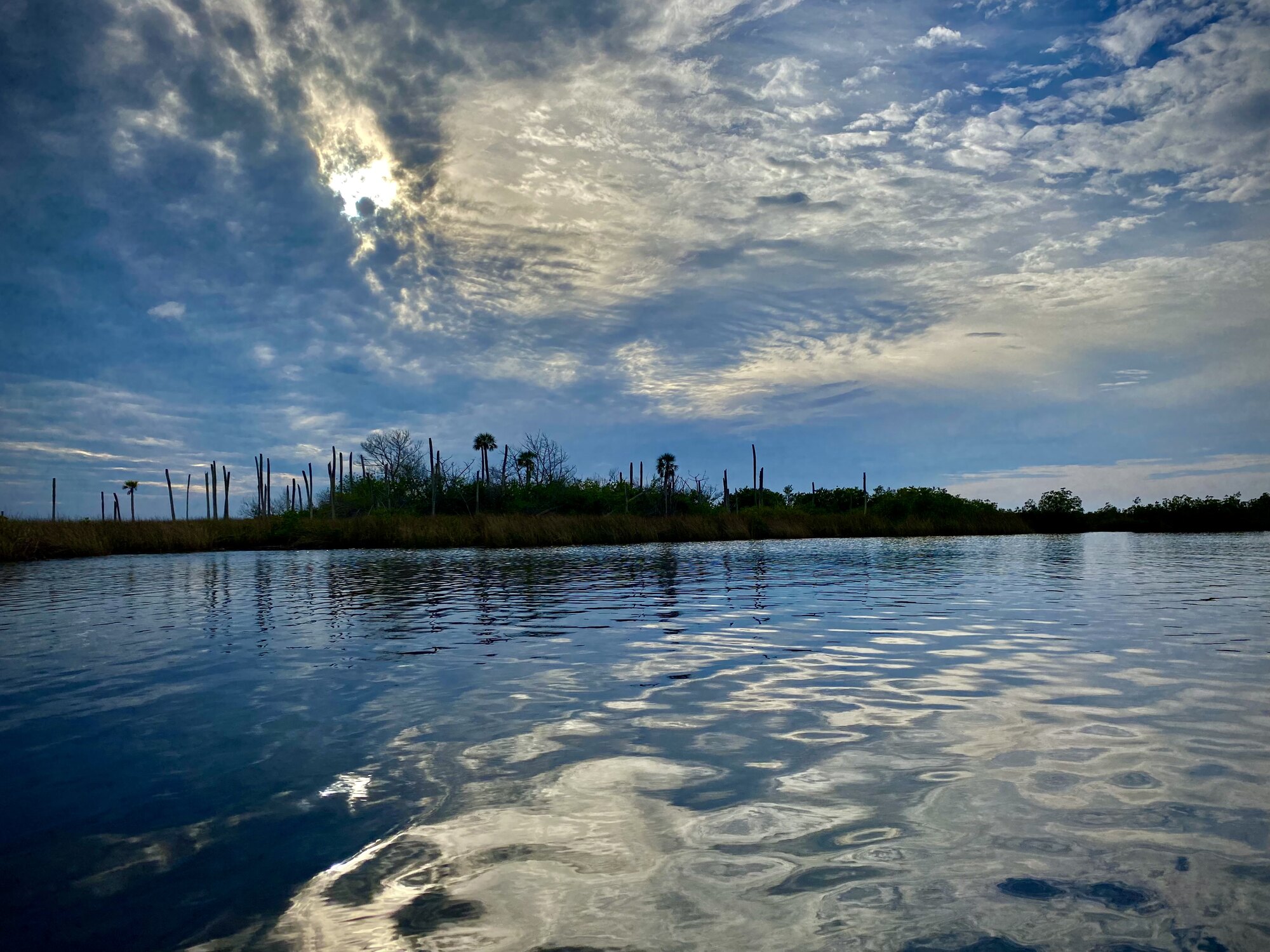
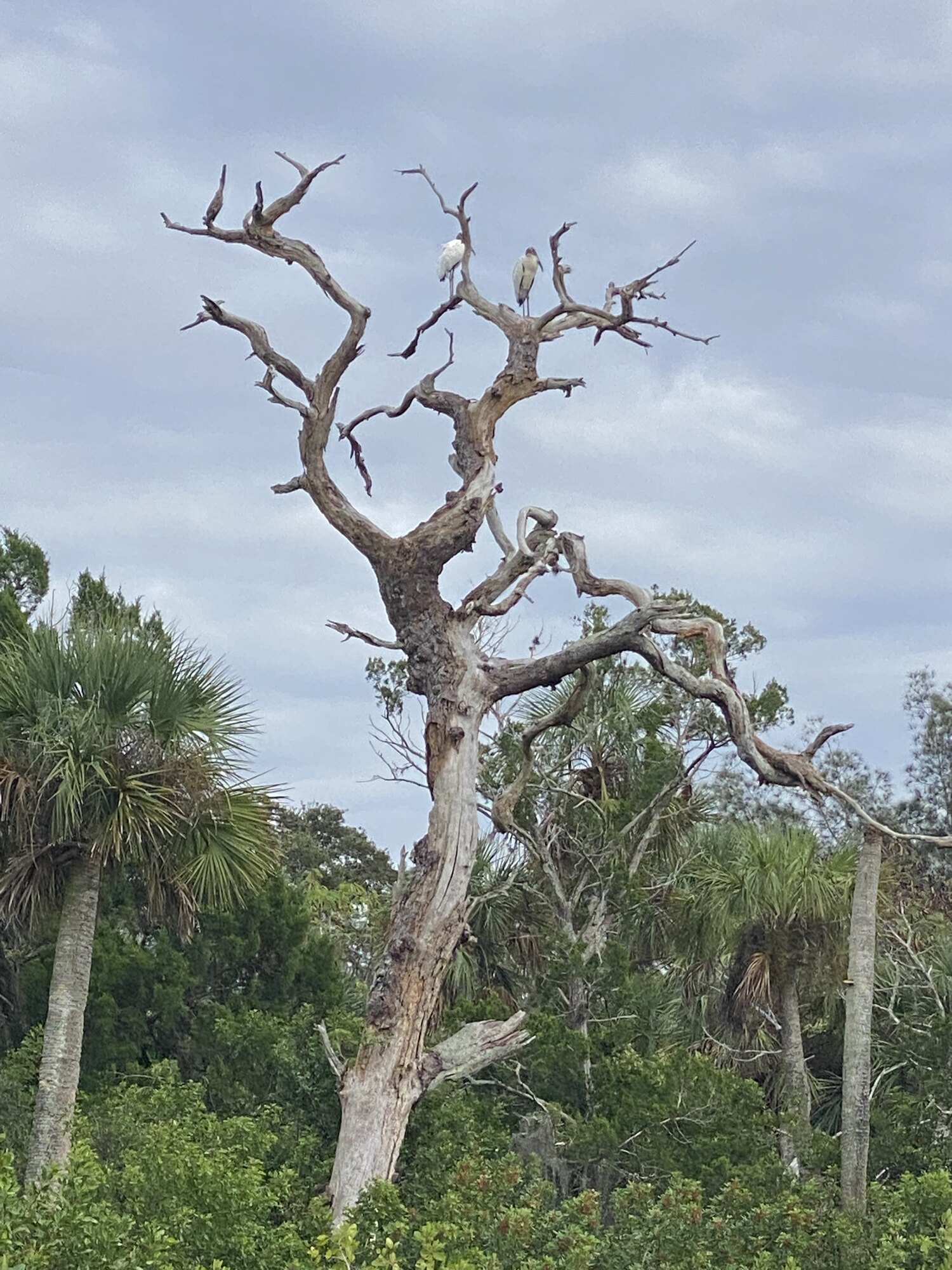
After returning from Jenkins Spring and passing beneath the bridge, we followed the creek west. Jenkins Creek preserves a remarkable mixture of natural freshwater springs, man-made canals, coastal marsh, uplands and waterways leading to the Gulf. The water gradually changed character: the clearer, enclosed inland creek widened into a maze of dark marsh grass, low islands and scattered sabal palms. Diana paddled the turquoise kayak while David stood above the water on his paddleboard, which gave him a completely different view across the grass. The beauty here is horizontal and subtle—open horizons, lone palm hammocks, wading birds and clouds repeated perfectly on the water.
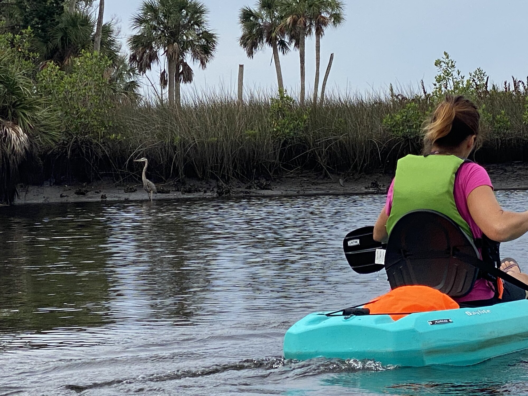
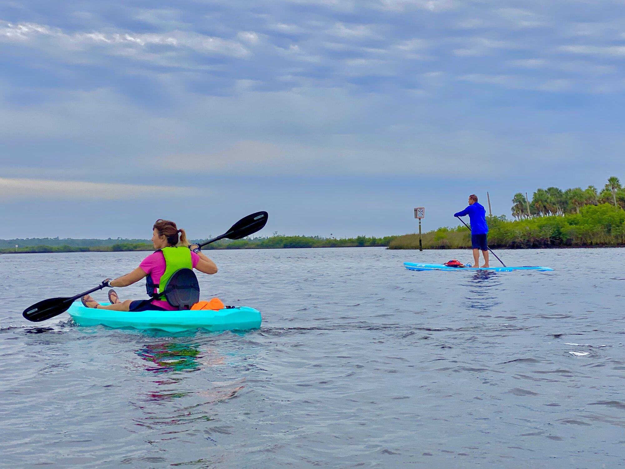
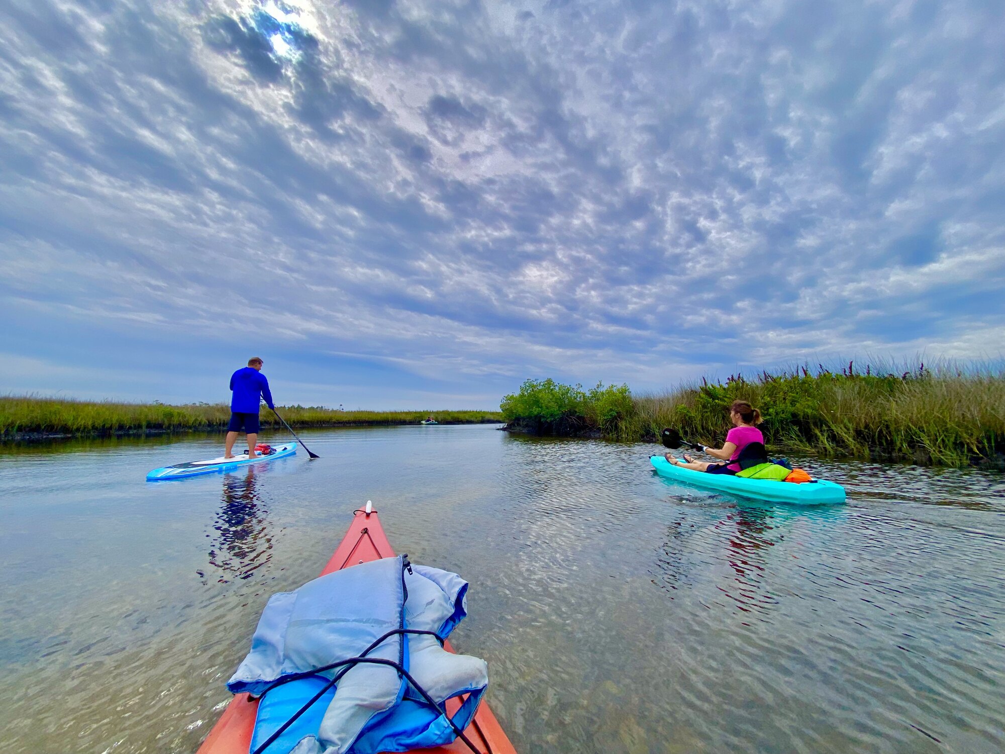
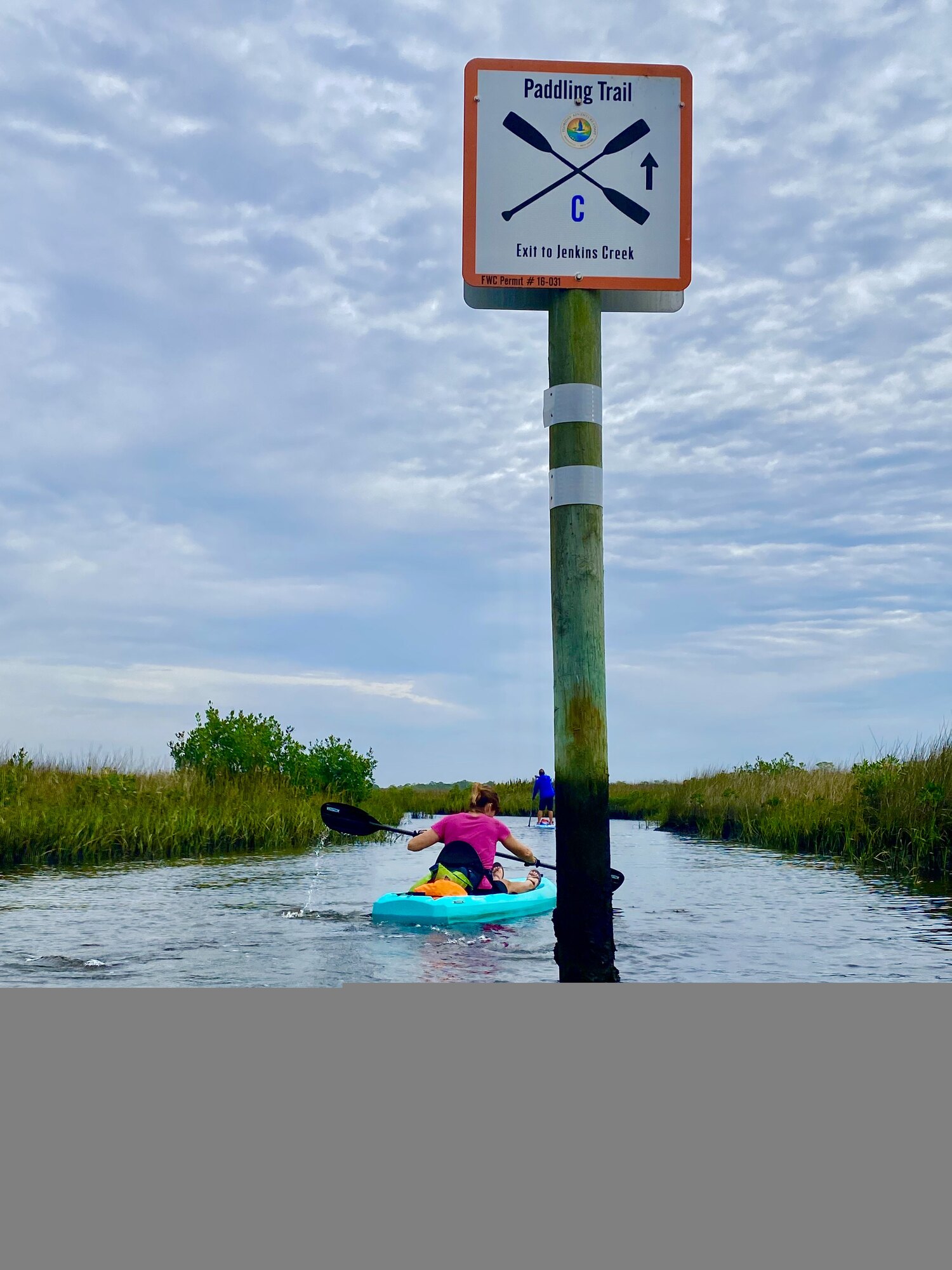
The tropical storm changed our plans
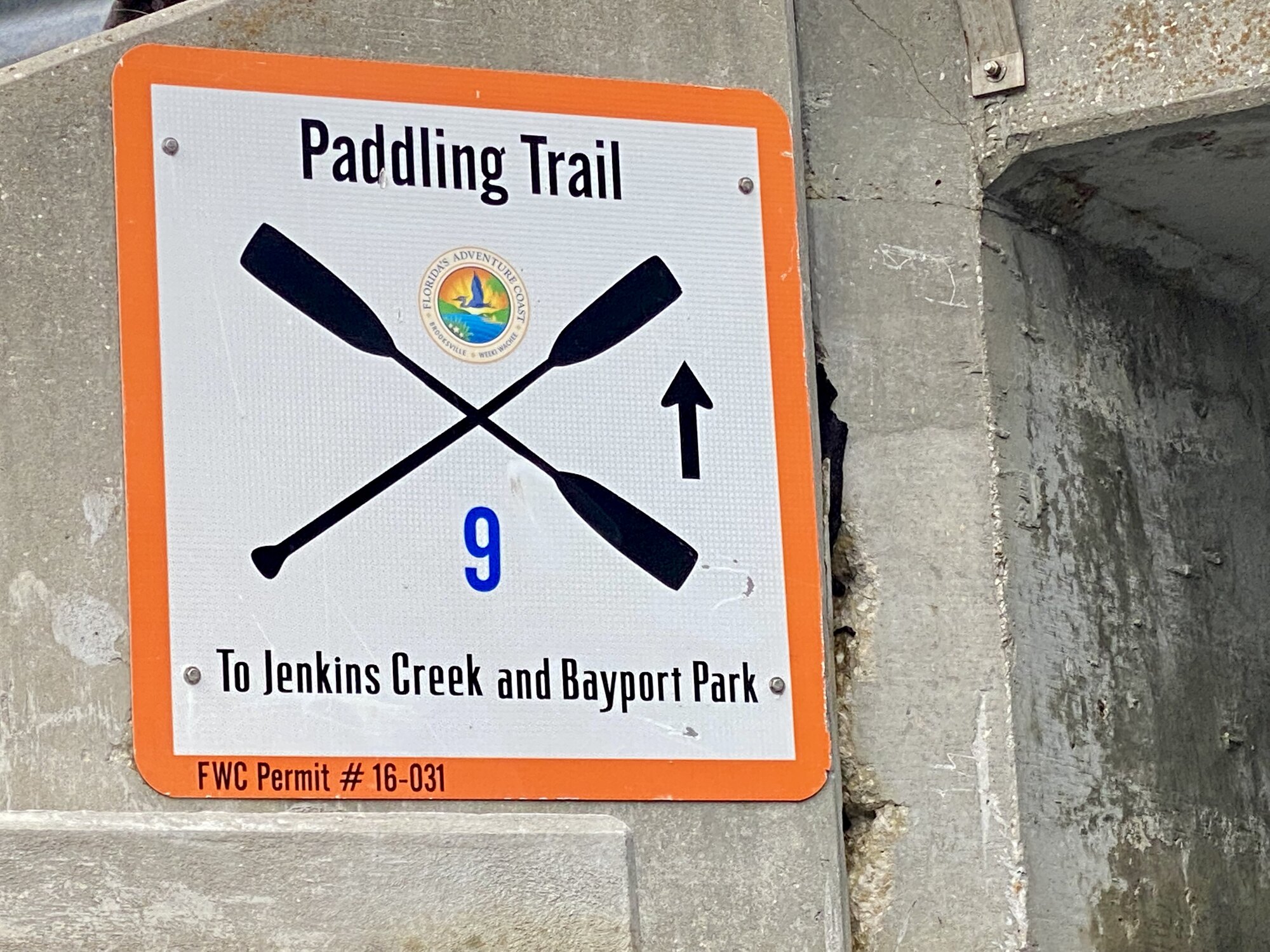
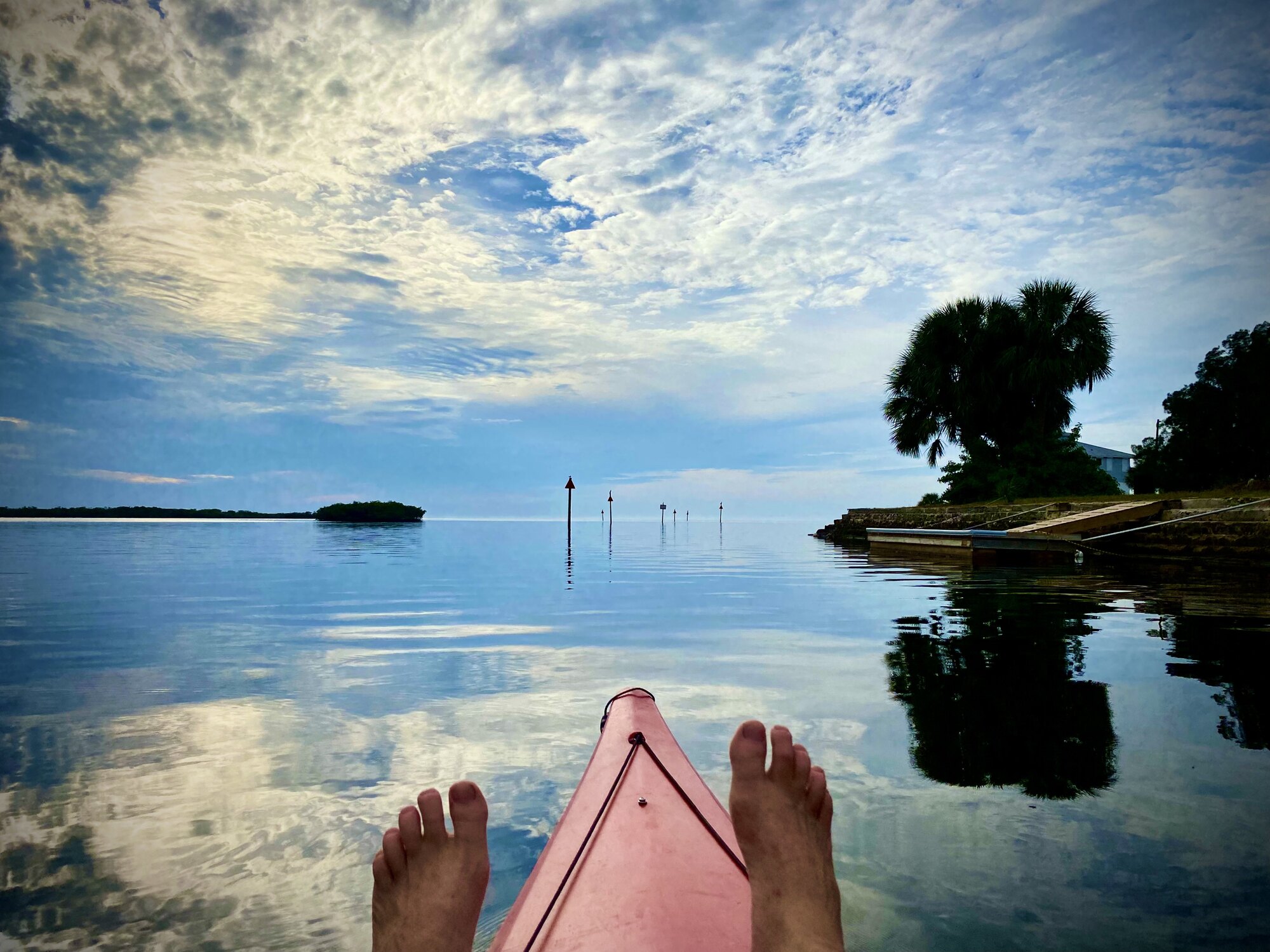
We had intended to follow the marked coastal paddling trail all the way from Jenkins Creek to Bayport. That would have taken us beyond the protected marsh and across a more exposed section of coast. A tropical storm was churning out in the Gulf, however, and the difference between the inside water and the creek mouth was becoming obvious. Much of Jenkins Creek remained calm enough to produce beautiful reflections, but at the mouth we could see the storm beginning to kick up the open water. Conditions were likely to become less forgiving once we left the shelter of the marsh islands. Bayport would still be there another day, so we made the sensible decision not to risk the exposed crossing and turned back. The return trip through the protected creek was easy and gave us more time to explore the quieter side passages.
Fresh claws at Aripeka Stone Crab Company
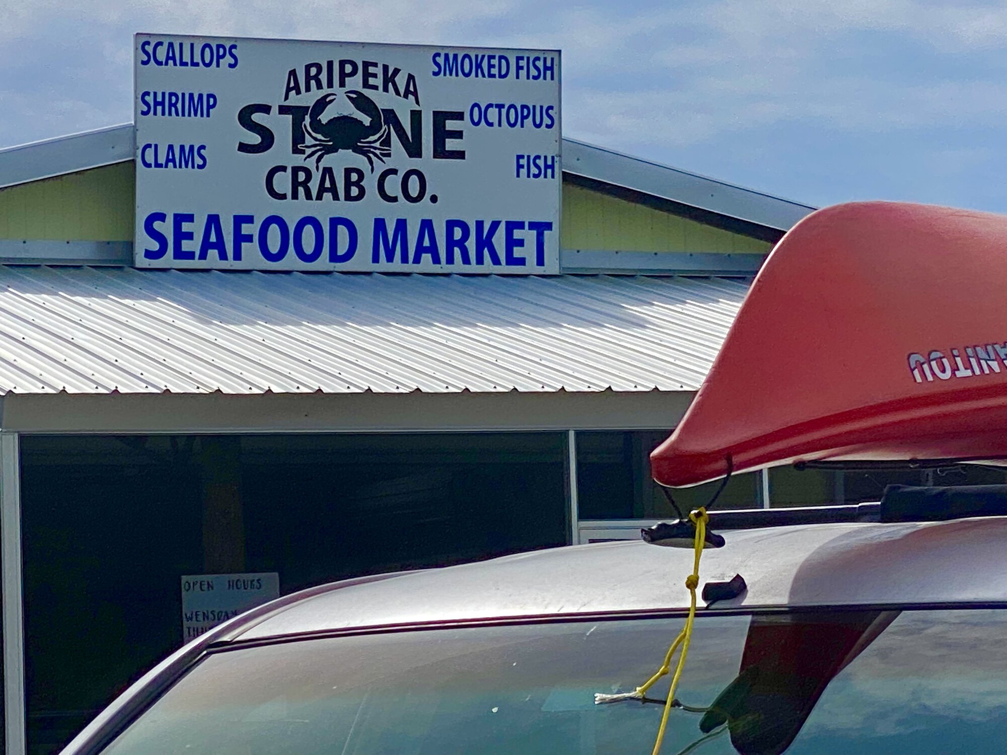
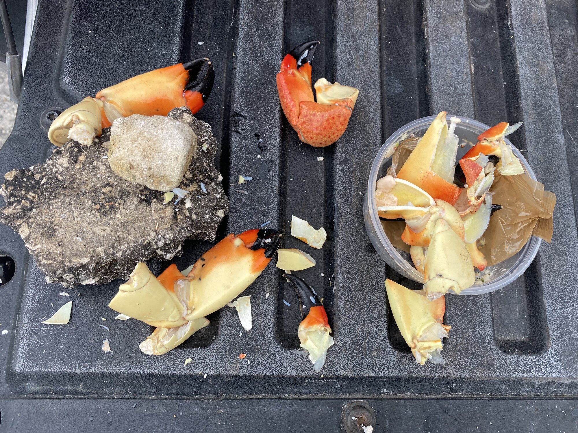
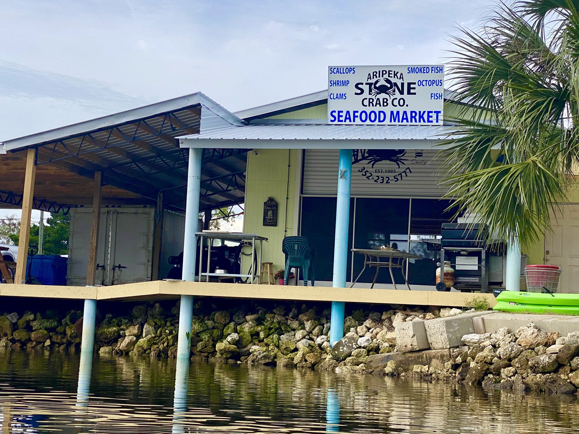
After the Jenkins Creek portion of the day, I continued into Aripeka and stopped at the Aripeka Stone Crab Company for crab claws. This family-owned seafood market and commercial stone-crab operation has been part of the village since 1985. Its specialty is fresh-off-the-boat stone crab, caught locally and cooked for sale during the season, along with other West Coast Florida seafood. It is not a polished tourist restaurant; it is a genuine working seafood business located beside the same shallow harbor used by local fishing boats. That made it feel like part of the trip rather than simply a stop after it, and the fresh claws were a perfect reward after paddling.
Mirror water deep in the backcountry
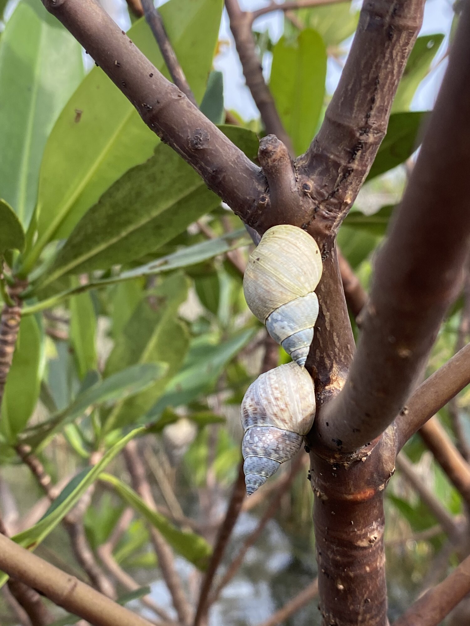
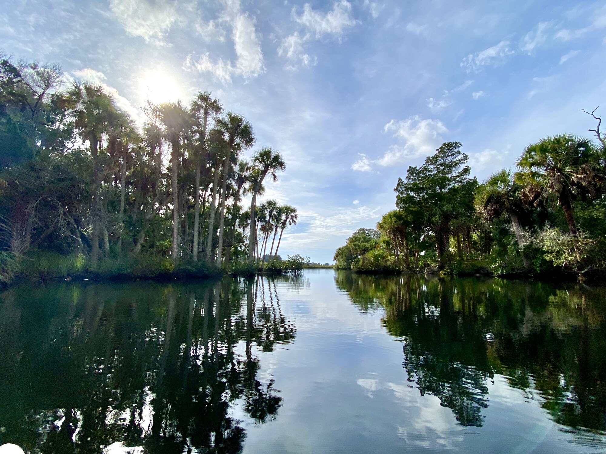
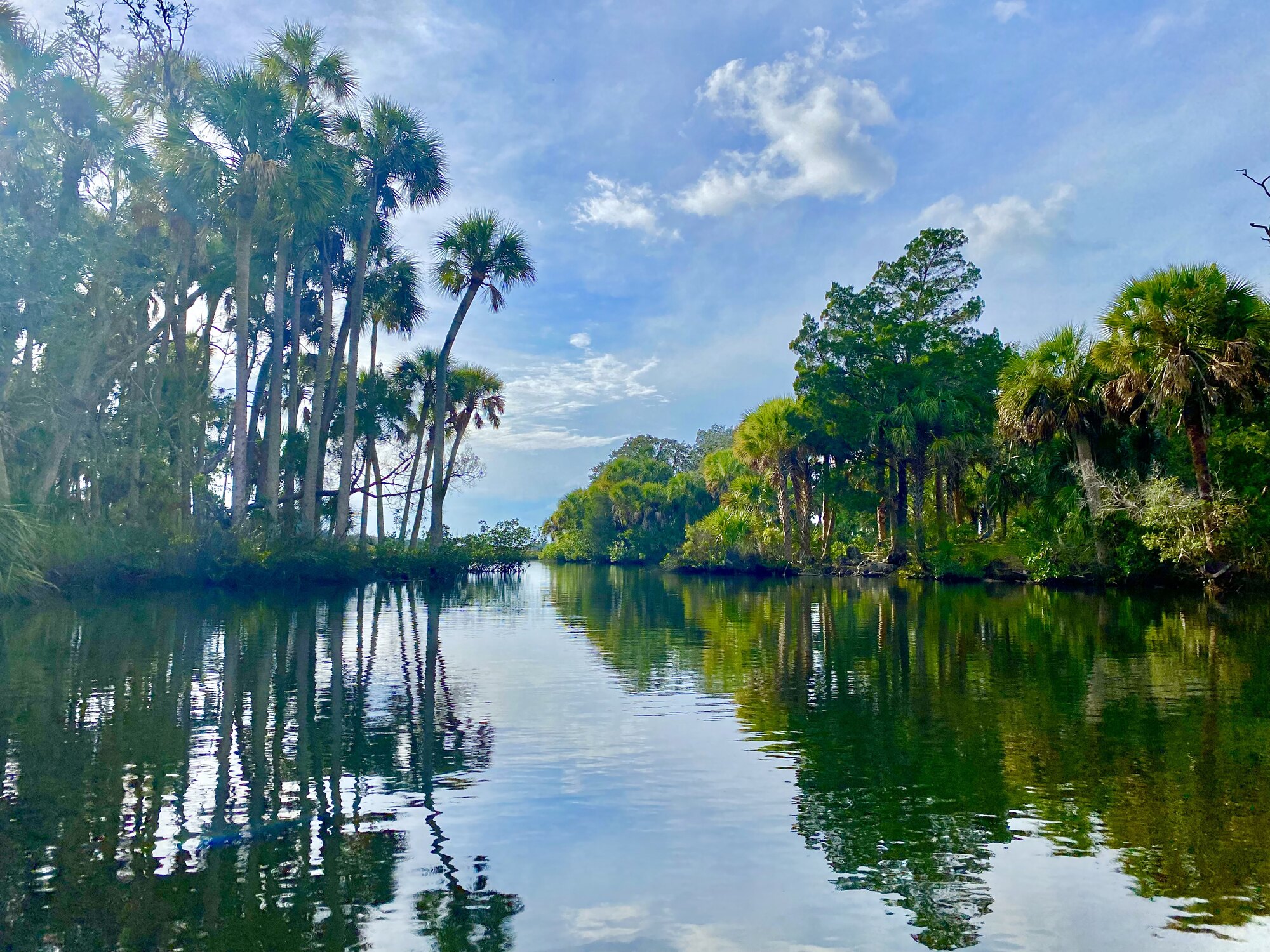
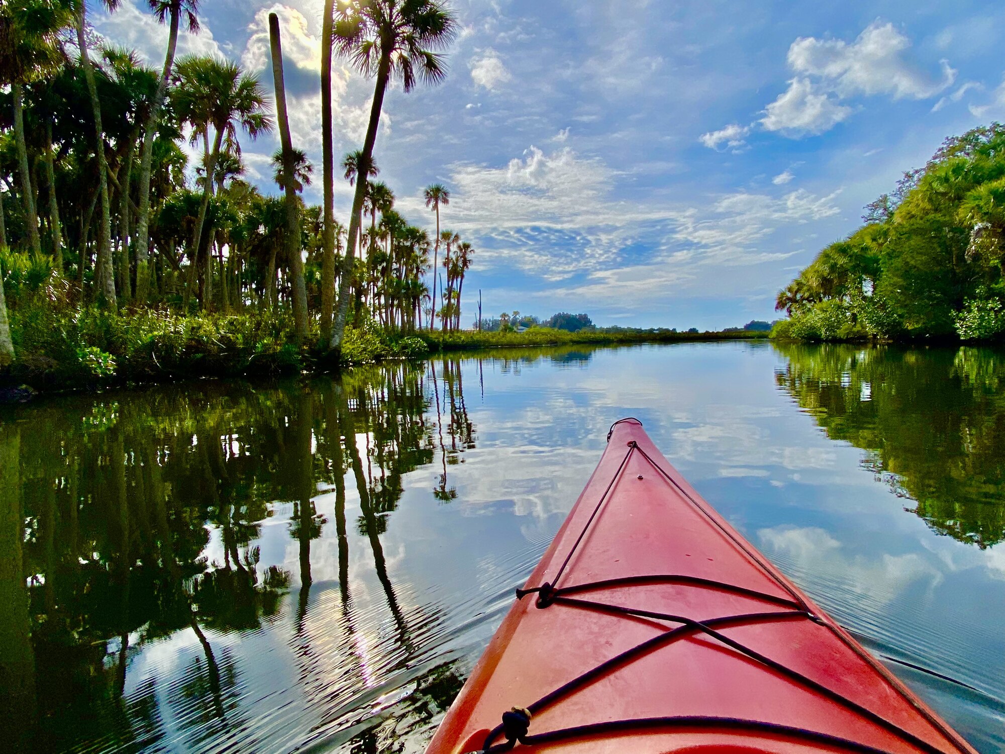
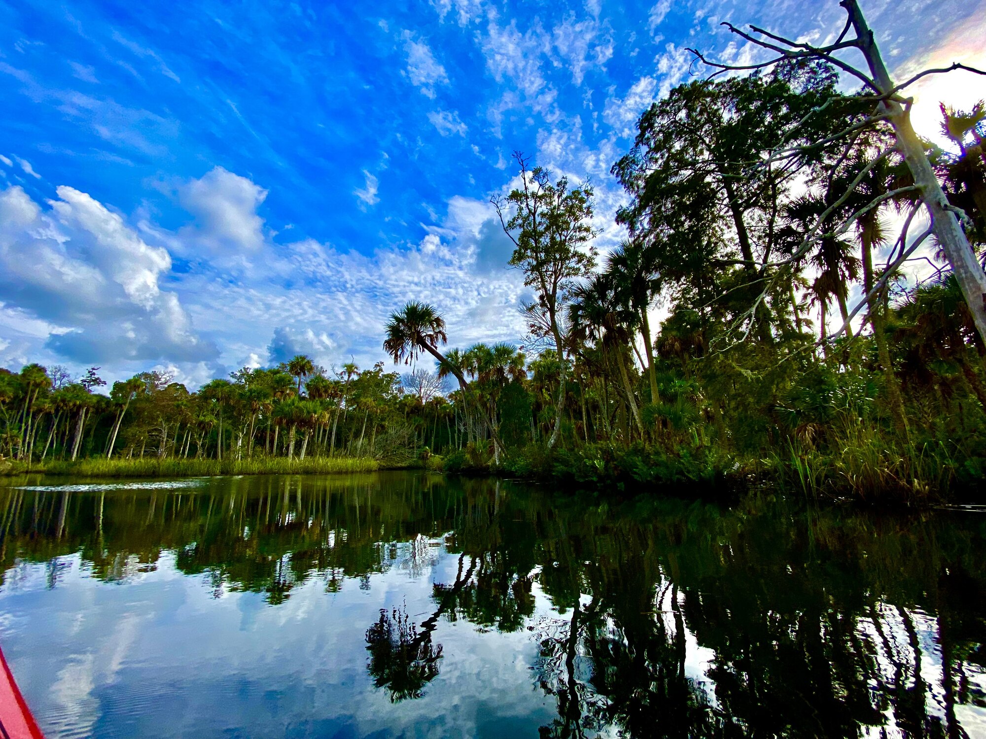
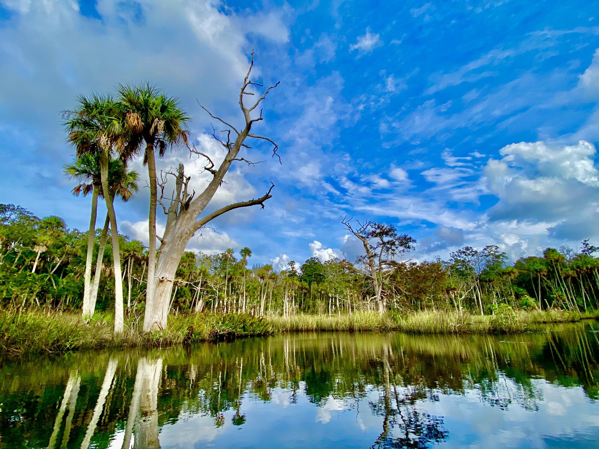
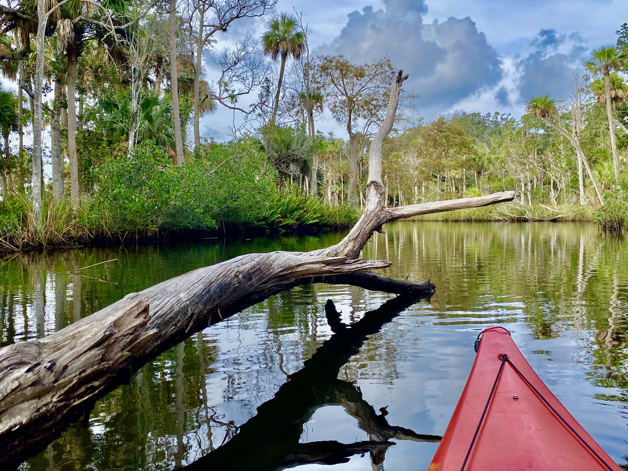
The calm portions of the day delivered the kind of conditions every paddler hopes for. The wind nearly disappeared, leaving only the small ripples made by our boats. Long creeks became smooth, dark corridors and every turn revealed another arrangement of palms, snags and cloud reflections. The quiet also made it easier to notice the gradual transitions between freshwater influence, brackish creek and salt marsh. We moved slowly, explored side passages and stopped often for photographs because there was no reason to hurry through water this beautiful.
Aripeka Harbor and a tiny old-Florida town
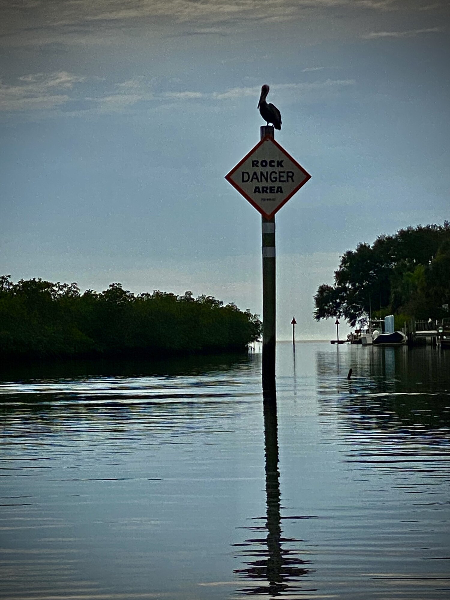
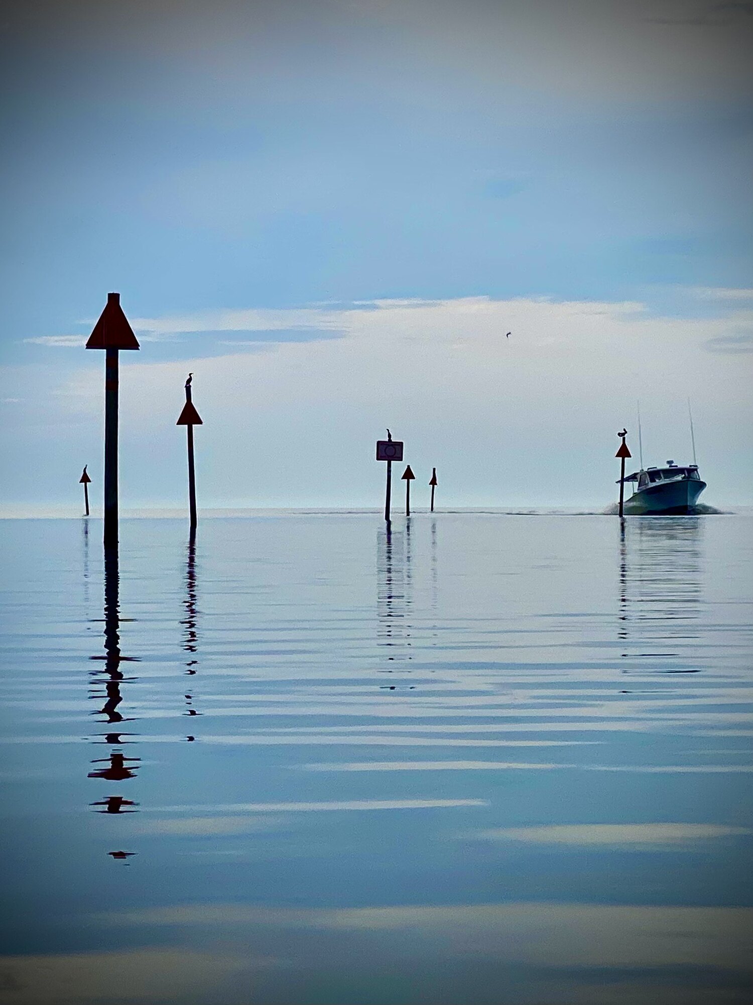
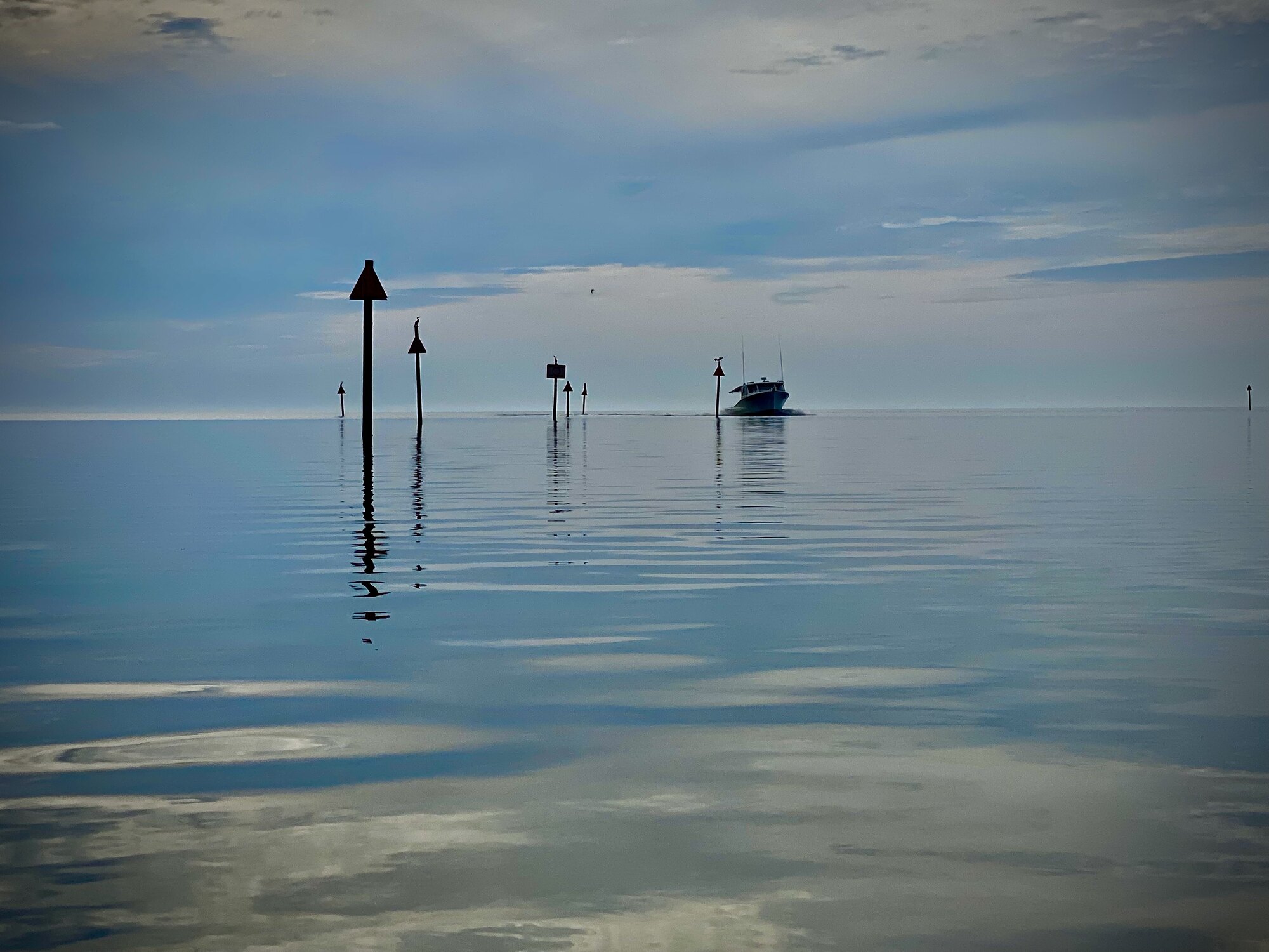
Aripeka is a tiny unincorporated Gulf Coast community straddling the Pasco–Hernando county line. The settlement began as Gulf Key in 1873, and the name Aripeka came into use in the 1890s. The village grew around fishing, small boats and its protected tidal waterways rather than around beaches or resorts. Even today, Aripeka Harbor feels more like a working neighborhood on the water than a developed marina: shallow channels, modest docks, fishing boats, weathered waterfront buildings and homes tucked close to the marsh. Navigation markers led through the harbor toward open Gulf water while the stone crab company’s building stood directly along the channel. The water, roads, bridges and buildings all fit tightly together because there is so little dry ground. The village remains one of those rare Florida places where the road narrows, the pace slows and the working-waterfront history is still easy to see. We have come back to Jenkins Creek and Aripeka several times, and that unpolished old-Florida character is a large part of what keeps drawing us back.
Two more views of the route
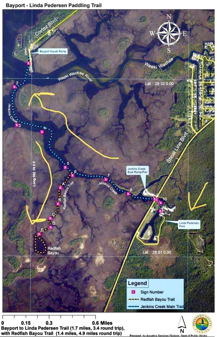
The overview map appears as the third photograph near the beginning of the story. These two additional views preserve the route against both a standard map and satellite imagery. Tap either map—or any photograph on this page—to open the full-size image.
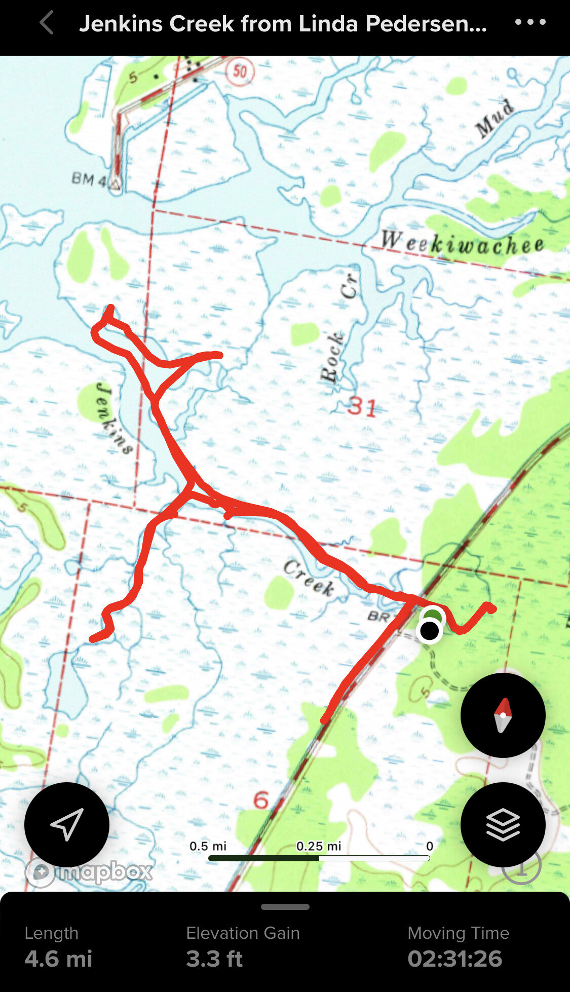
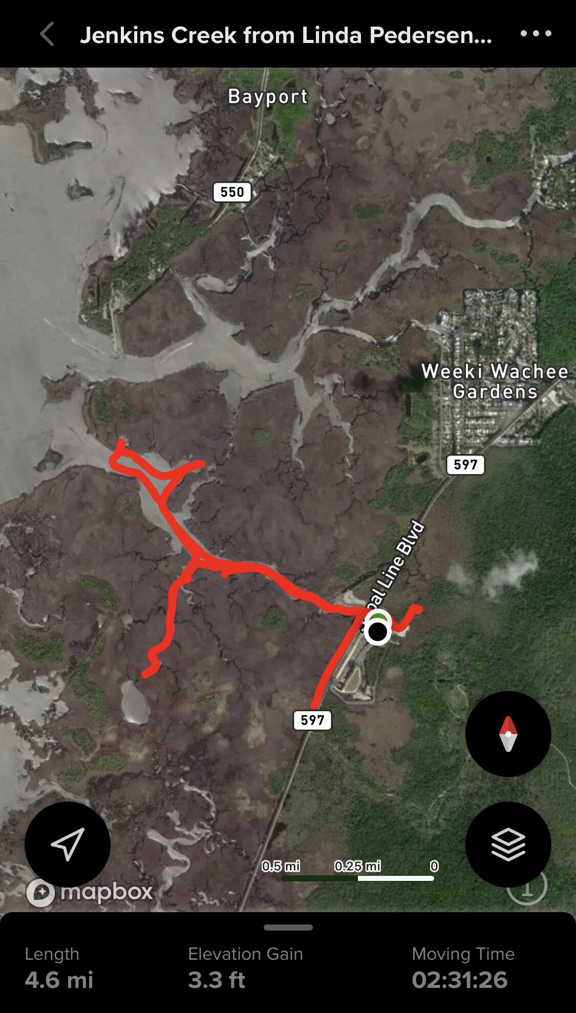
All photographs from the November 4, 2021 Jenkins Creek and Aripeka trip. Page and photographs by Tim Driskell.