Ocala National Forest · April 19, 2026

Juniper Springs Run

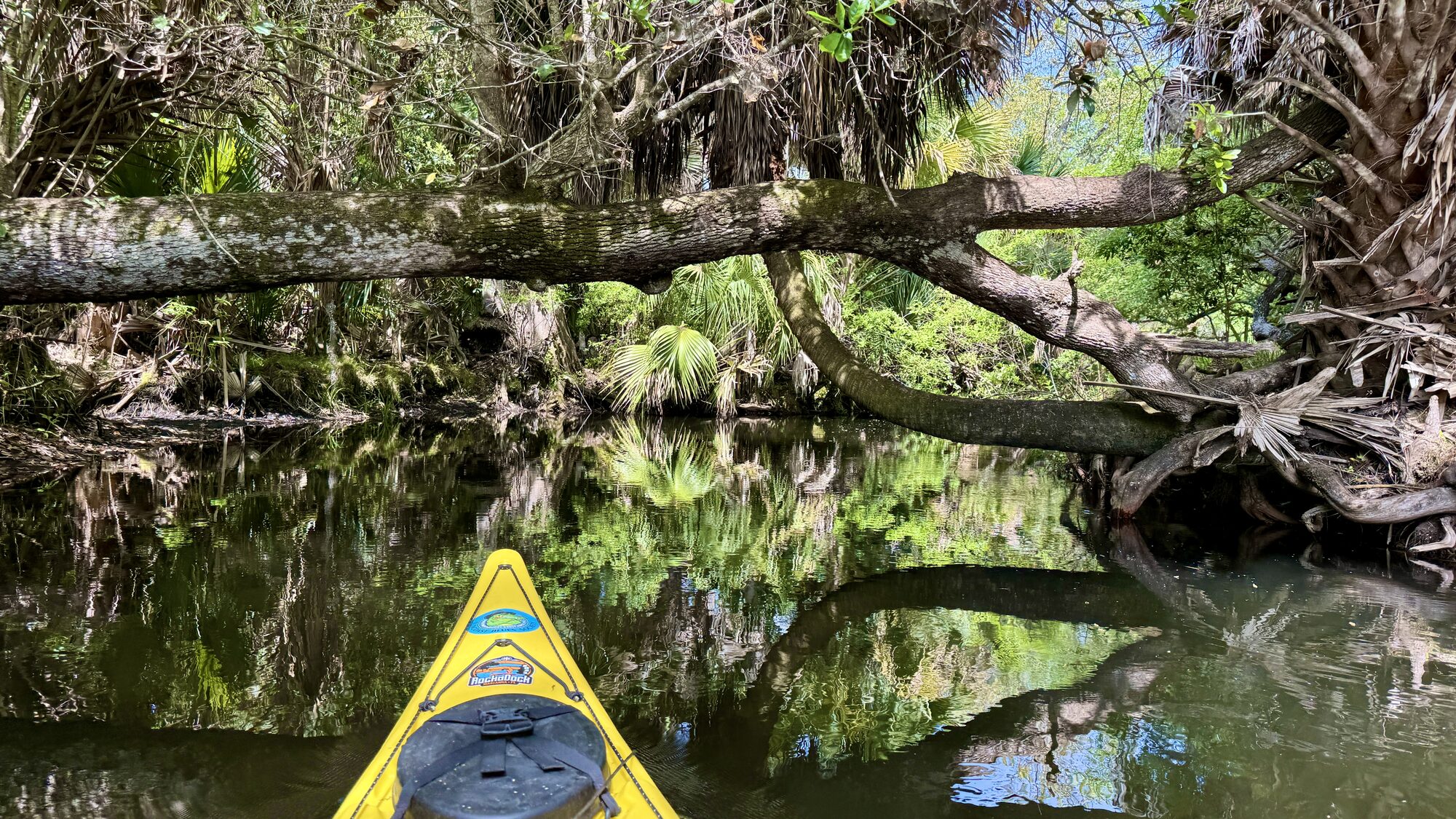
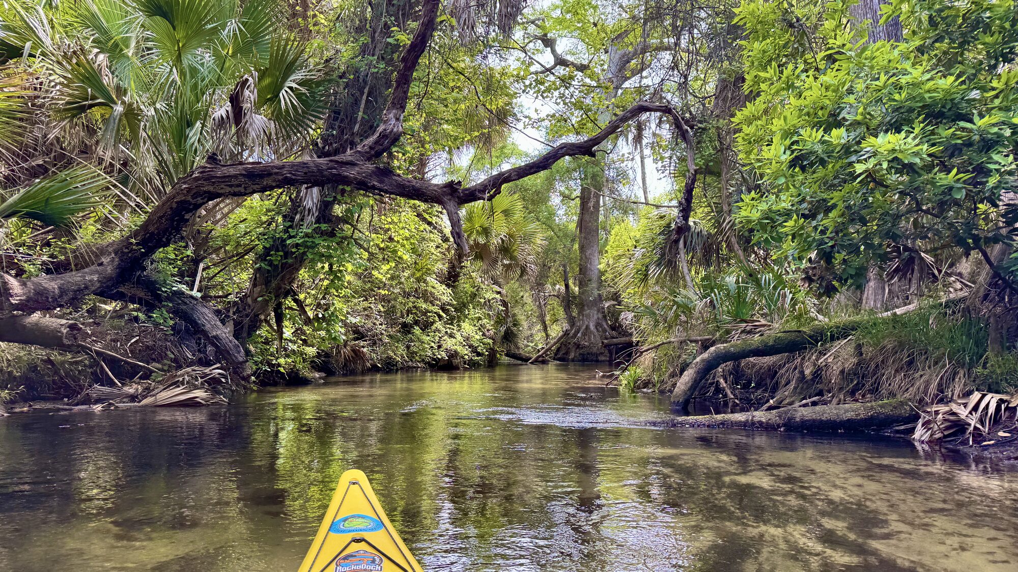
A beautiful, fast-moving ribbon of spring water—tight, twisting and wonderfully primeval from the very first paddle stroke.

About 7 milesOne-way wilderness run
3–5 hoursDepending on pace and conditions
Technical waterNot a beginner paddle
Shuttle returnFrom Juniper Wayside

Juniper Springs Run is one of those rare Florida paddles where the adventure begins immediately. There is no broad, forgiving warm-up. You launch into a channel only a few feet wide, point the bow downstream and enter a constantly turning tunnel of clear water, palms, moss and ancient forest.
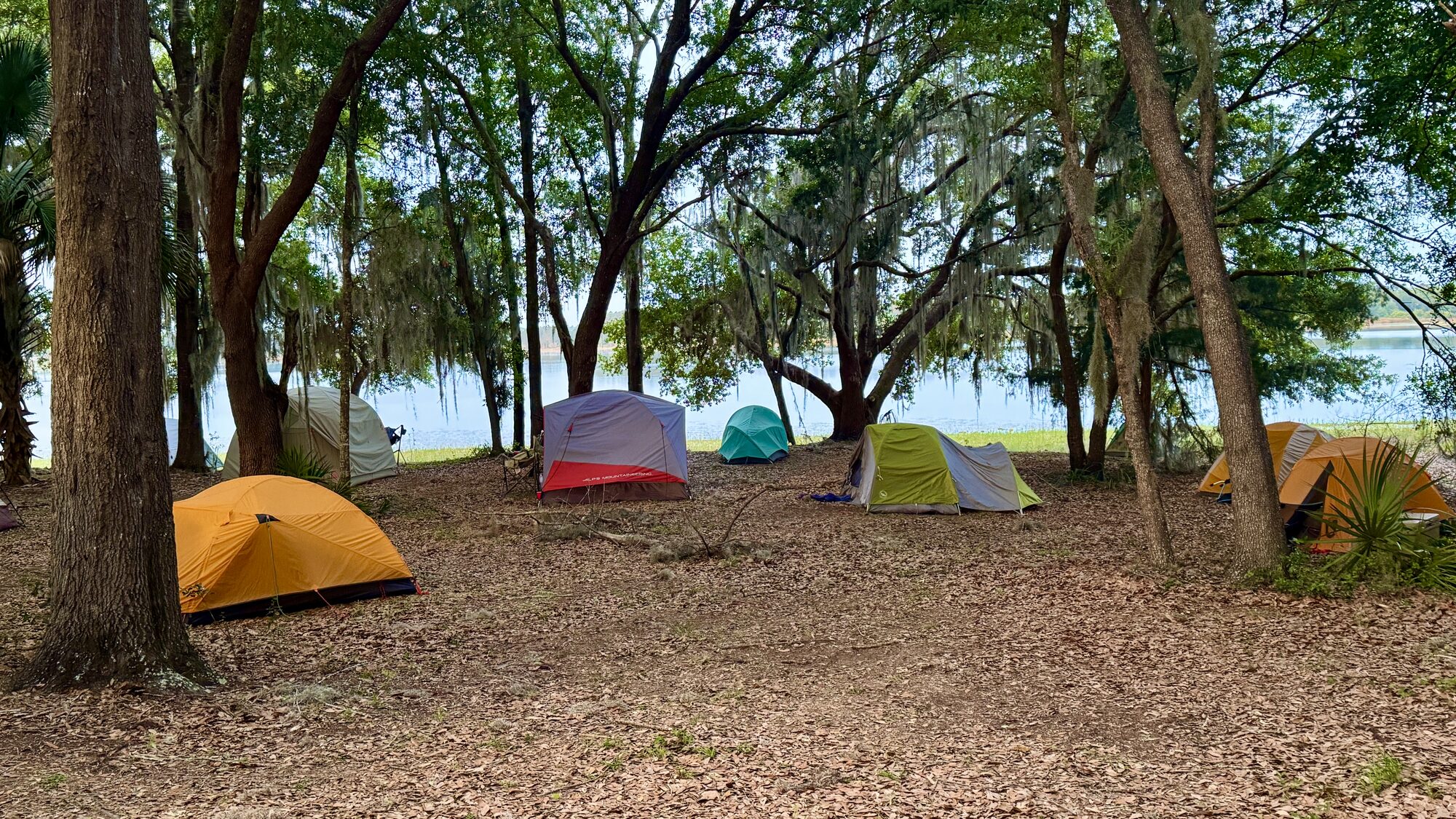
Tents under large trees at Juniper Springs before the paddle
#1 — Tents beneath the trees where I woke up on the final day of the annual CT Paddlefest. Google it!
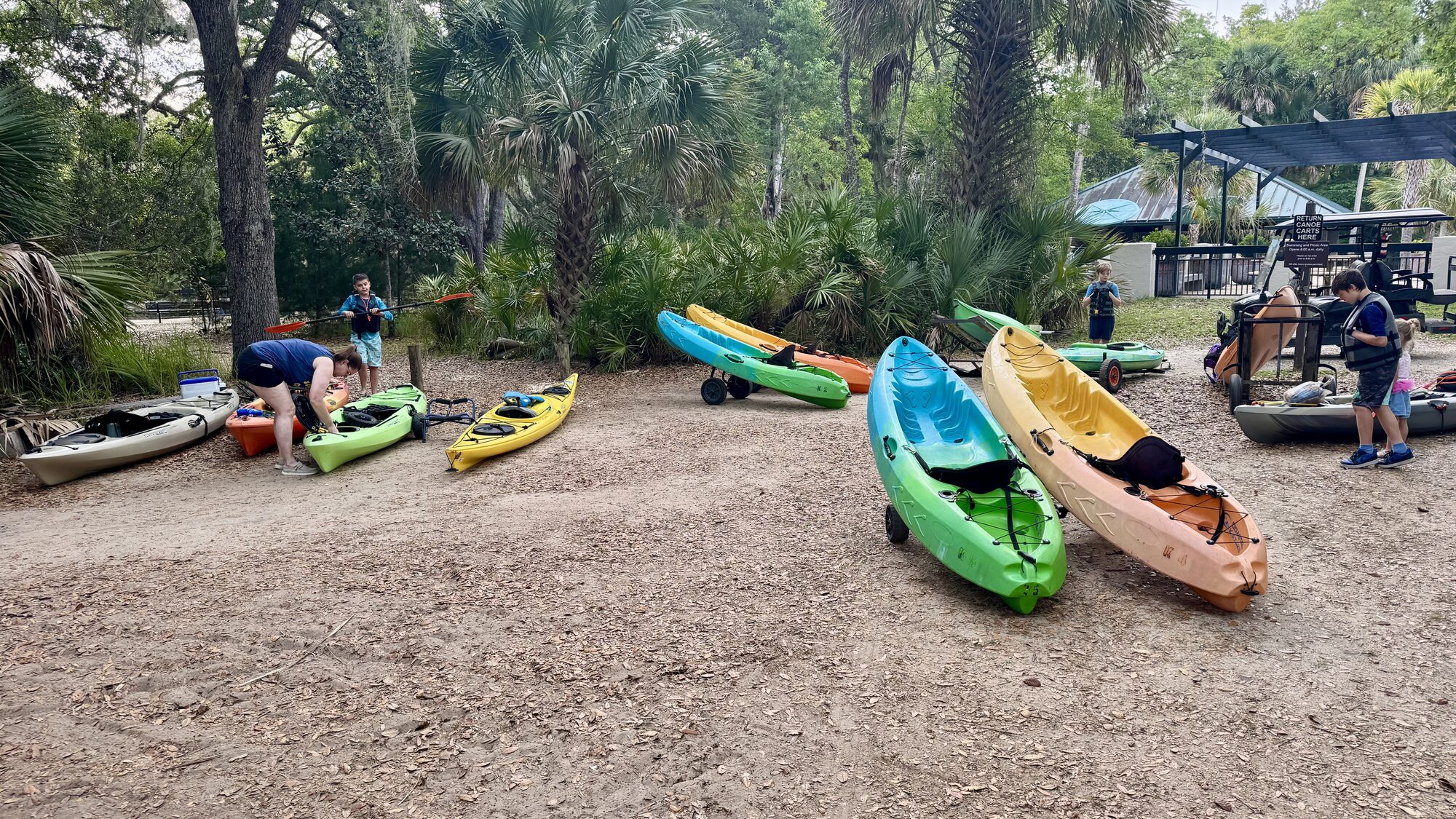
Colorful rental kayaks at the Juniper Springs outfitter
#2 — Colorful kayaks assembled near the outfitter before launching.
Juniper Springs recreation-area map in Ocala National Forest
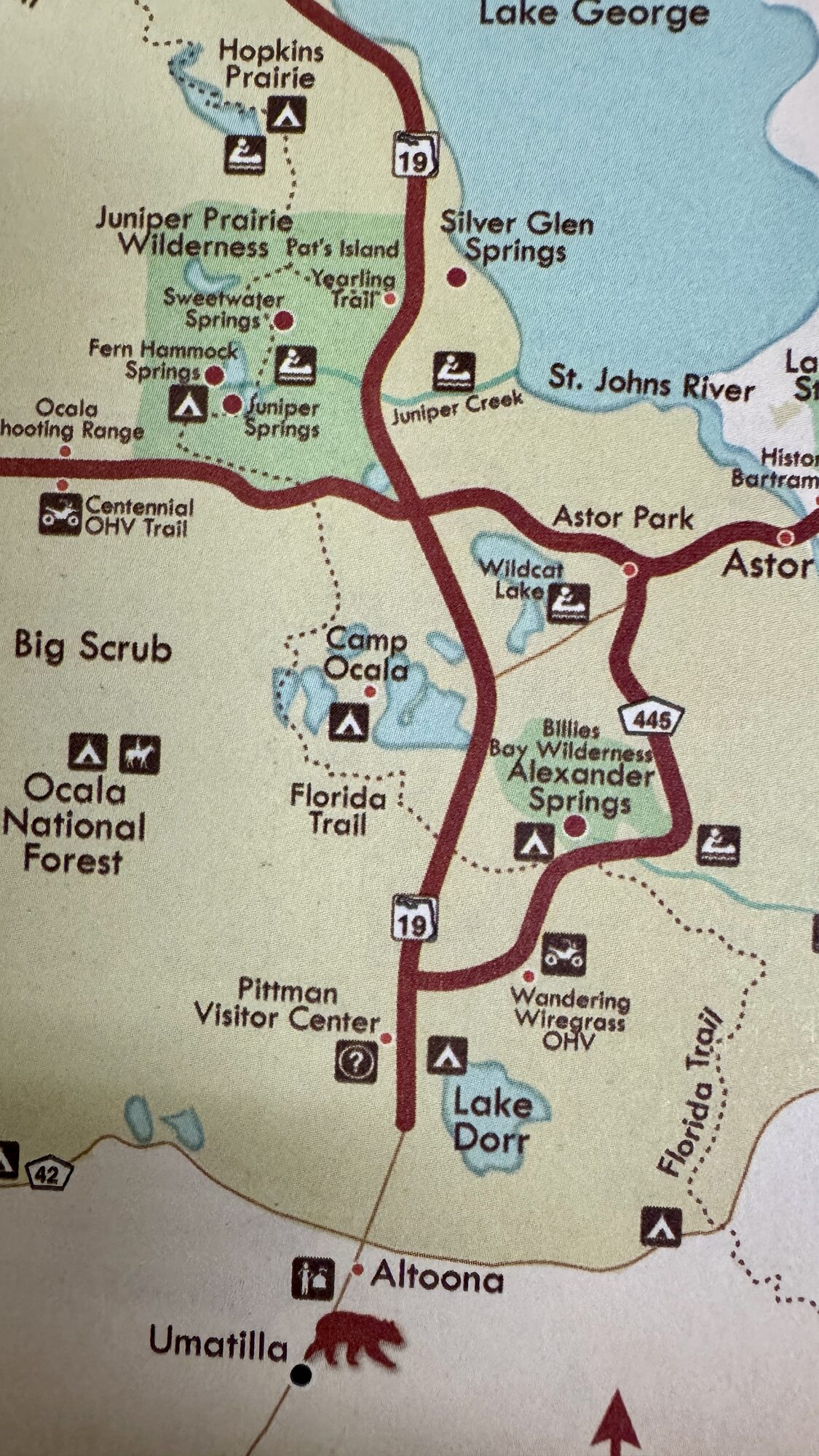
#3 — A recreation-area map showing Juniper Springs within Ocala National Forest.

Be at the gate before eight

The best way to paddle Juniper is to arrive very early—before the recreation area opens at 8:00 a.m.—and be one of the first vehicles waiting at the gate when they open. The run can get crowded quickly, and the difference between being near the front and launching behind a long string of boats can completely change the day. An early start gives you quieter water, fewer traffic jams and a much better chance to absorb the wild beauty of the forest.

Paddlers check in through the on-site outfitter, whether arranging a rental or bringing a private canoe or kayak. Current rules limit private launches, and boats must be launched before the afternoon cutoff, so this is not a paddle where it makes sense to arrive casually and hope everything works out. Confirm availability, current fees, permitted equipment and shuttle arrangements before making the drive.
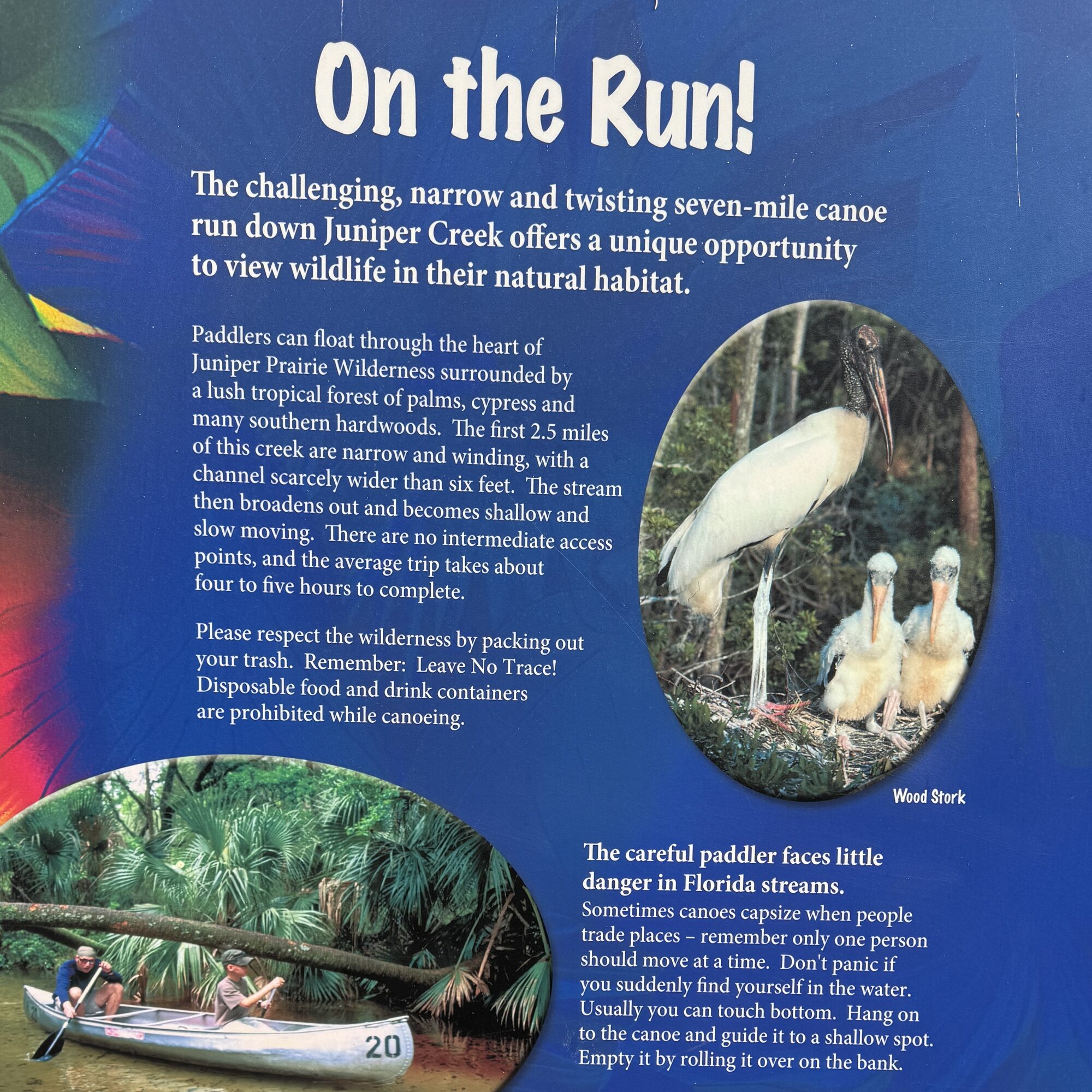
On the Run information sign describing the challenging Juniper canoe run
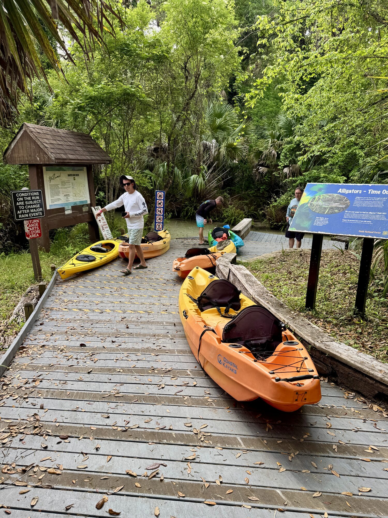
#4 — The “On the Run” sign introduces the challenging, winding Juniper Creek canoe run.
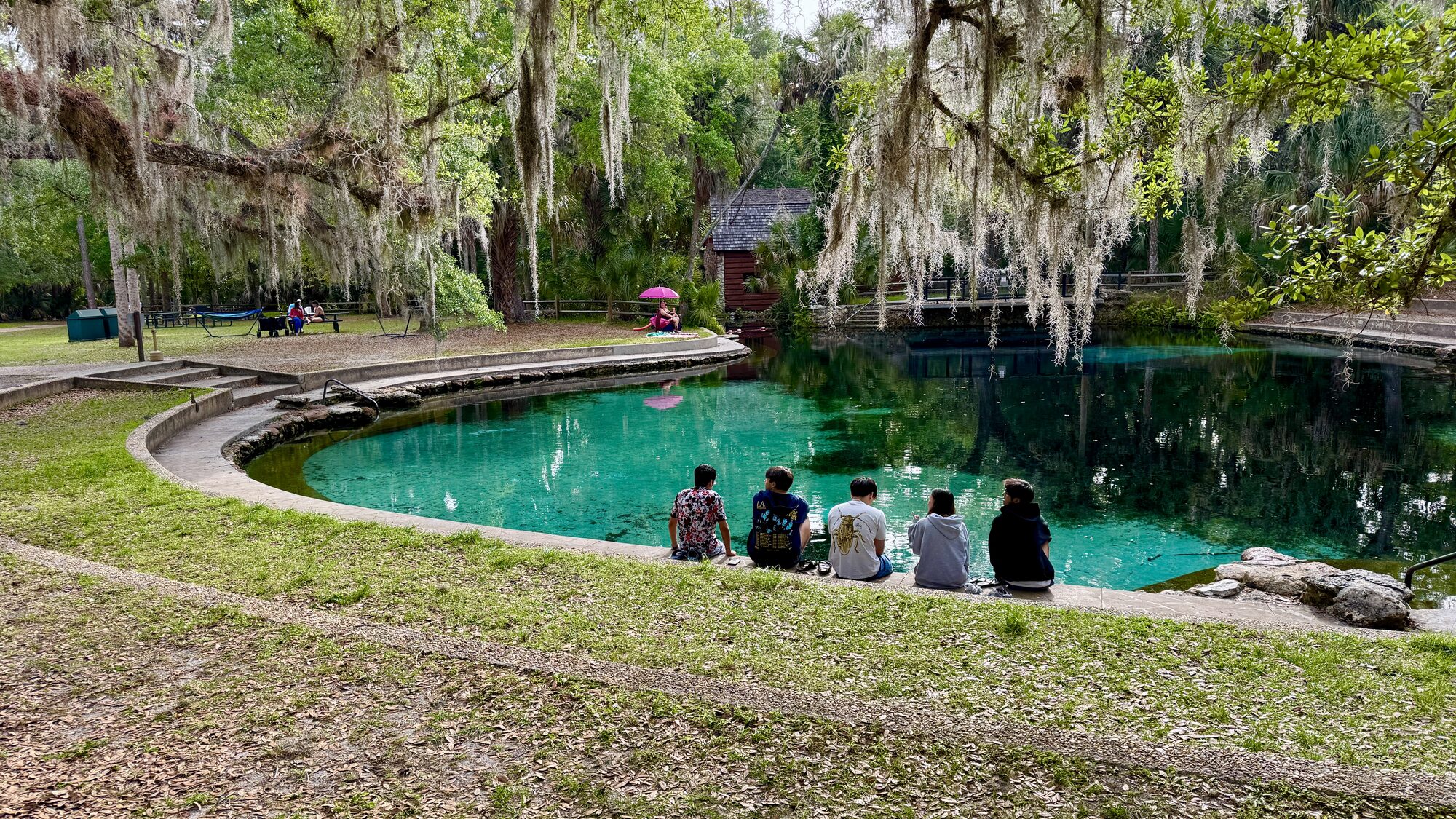
Clear Juniper Springs swimming basin beneath oak trees and Spanish moss
#5 — The clear Juniper Springs swimming basin beneath old trees and hanging moss. Swim here first, or better yet, after paddling.
Interpretive sign about ecological changes at Juniper Springs
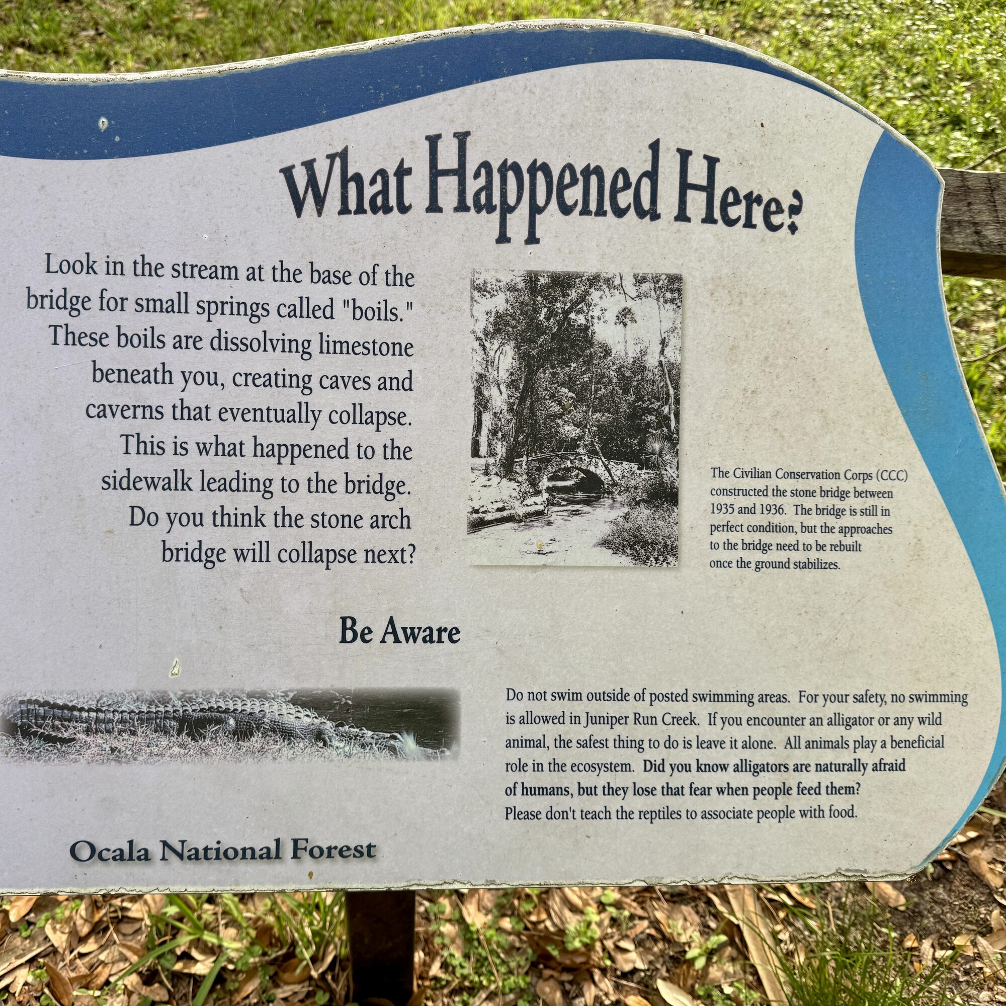
#6 — An interpretive sign explains changes at Juniper Springs and the importance of protecting the spring.
Kayakers carrying boats down the Juniper Run launch steps
#7 — Kayakers carry their boats down the narrow launch into Juniper Run.
My strongest advice: arrive before opening, get checked in promptly and launch at the front of the day’s traffic. On Juniper, a little planning creates a lot more breathing room.

A cross-country ski start—with kayaks

The upper run is narrow enough that paddlers should not all push away from the launch together. A group is much better off treating the start almost like a cross-country ski race: send one boat, wait a minute or two, then send the next. Leave a generous gap and keep it.

That spacing matters because the current carries you rapidly from one tight bend into the next. When the person in front slows, misses a turn or gets sideways, a closely packed line of paddlers quickly becomes a pileup. You do not want another kayak riding your stern, and you do not want to be staring at the back of the same boat all morning. Spread out enough that every paddler can choose a line, correct a mistake and enjoy the run without constant bumping.
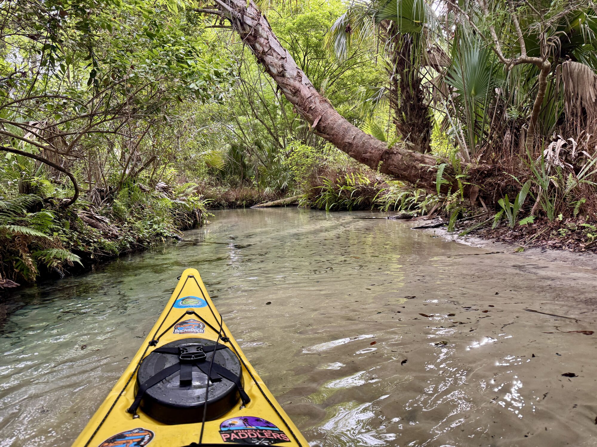
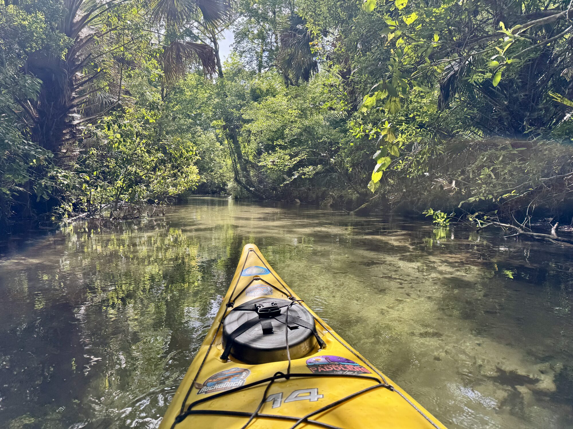
Yellow sea kayak entering the extremely narrow upper Juniper Run
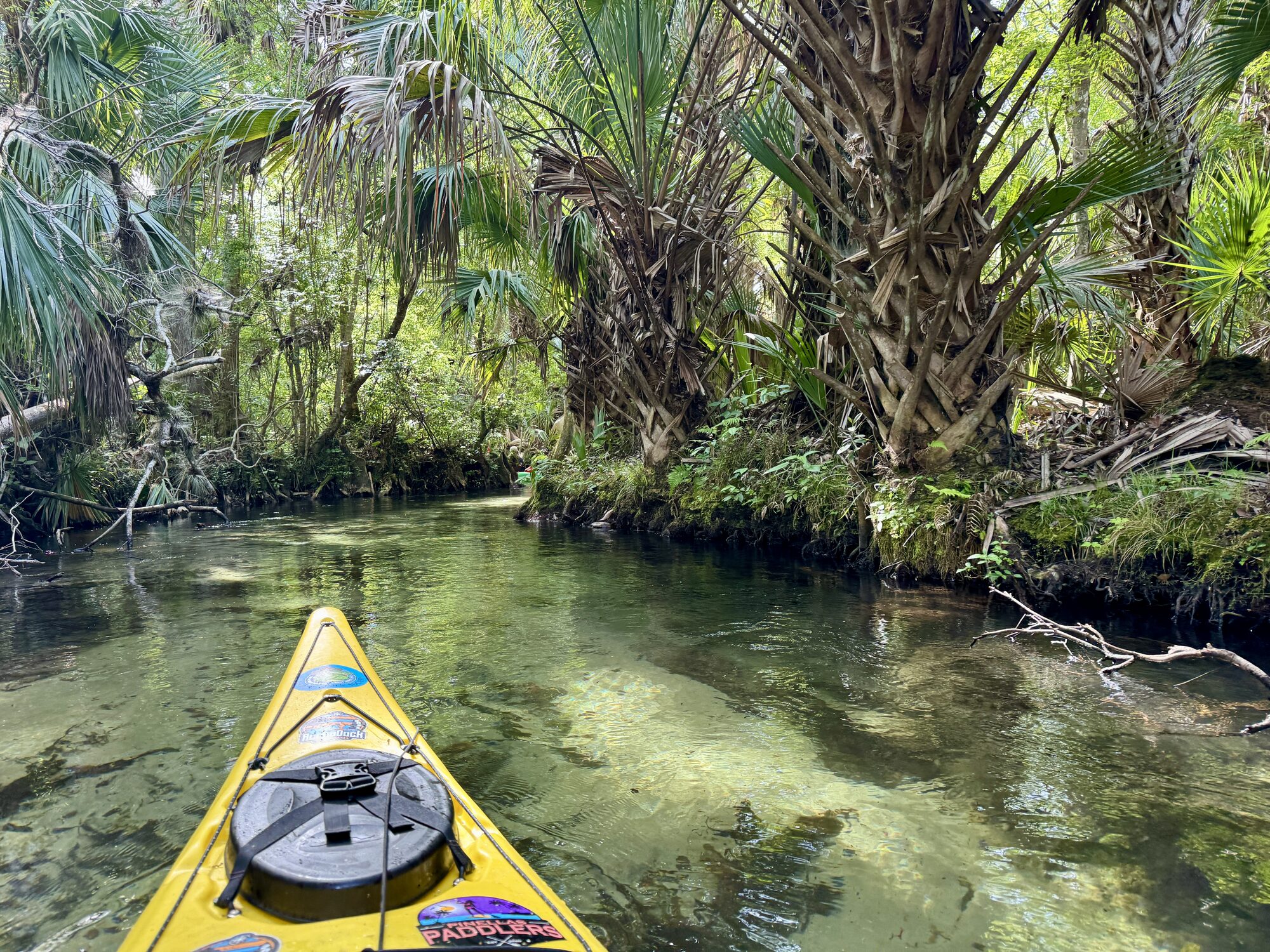
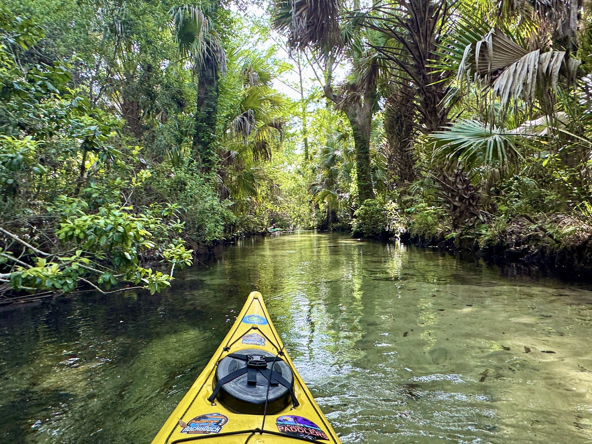
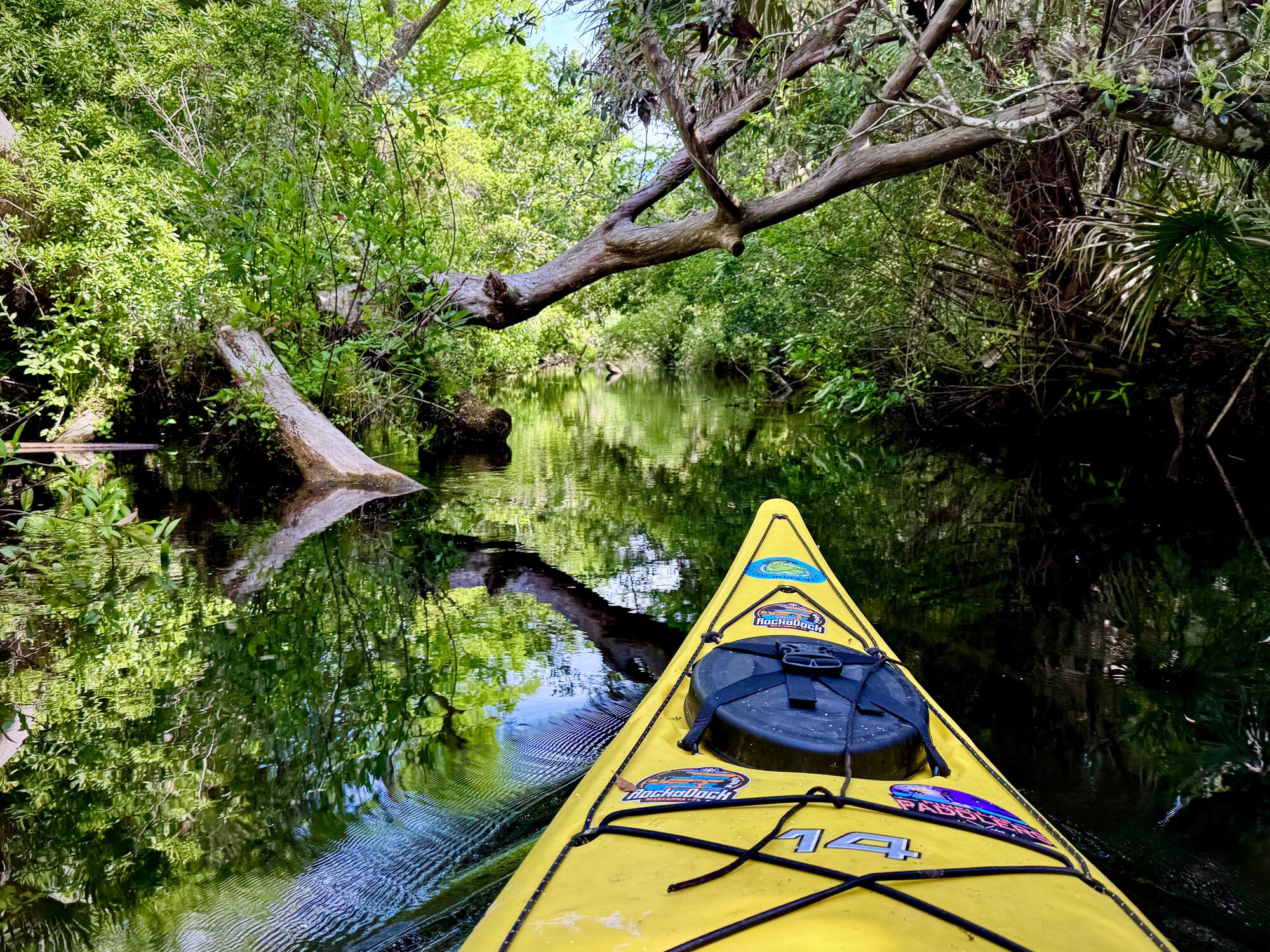
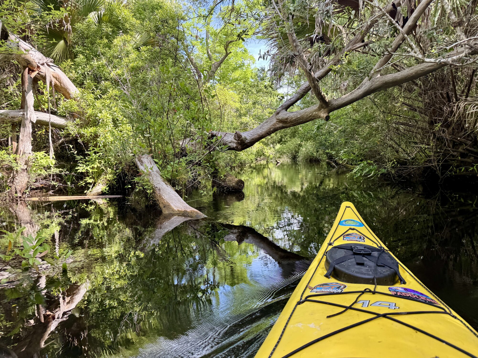
#8 — My yellow bow enters the extremely narrow upper channel at the beginning of Juniper Run.
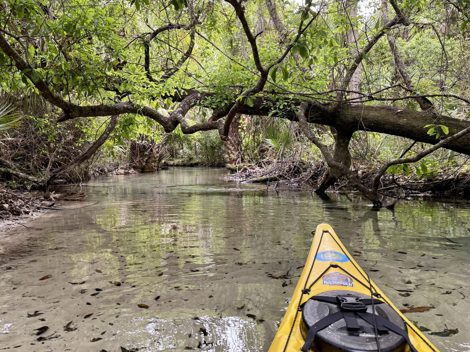
Low mossy tree limb over the narrow Juniper Run
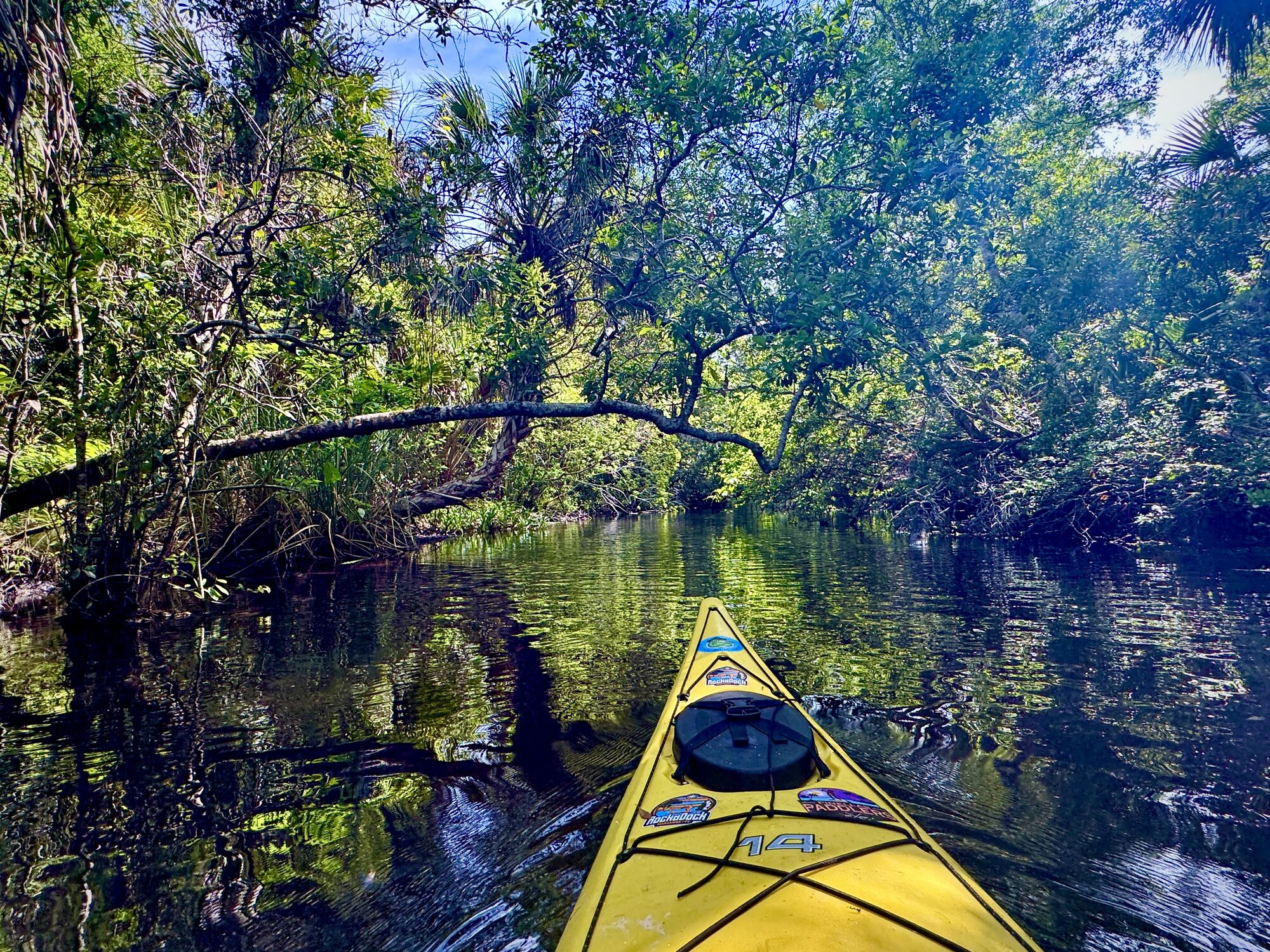
#9 — A low mossy limb illustrates the tight maneuvering required near the start.
Kayaker paddling through a narrow palm tunnel on Juniper Run
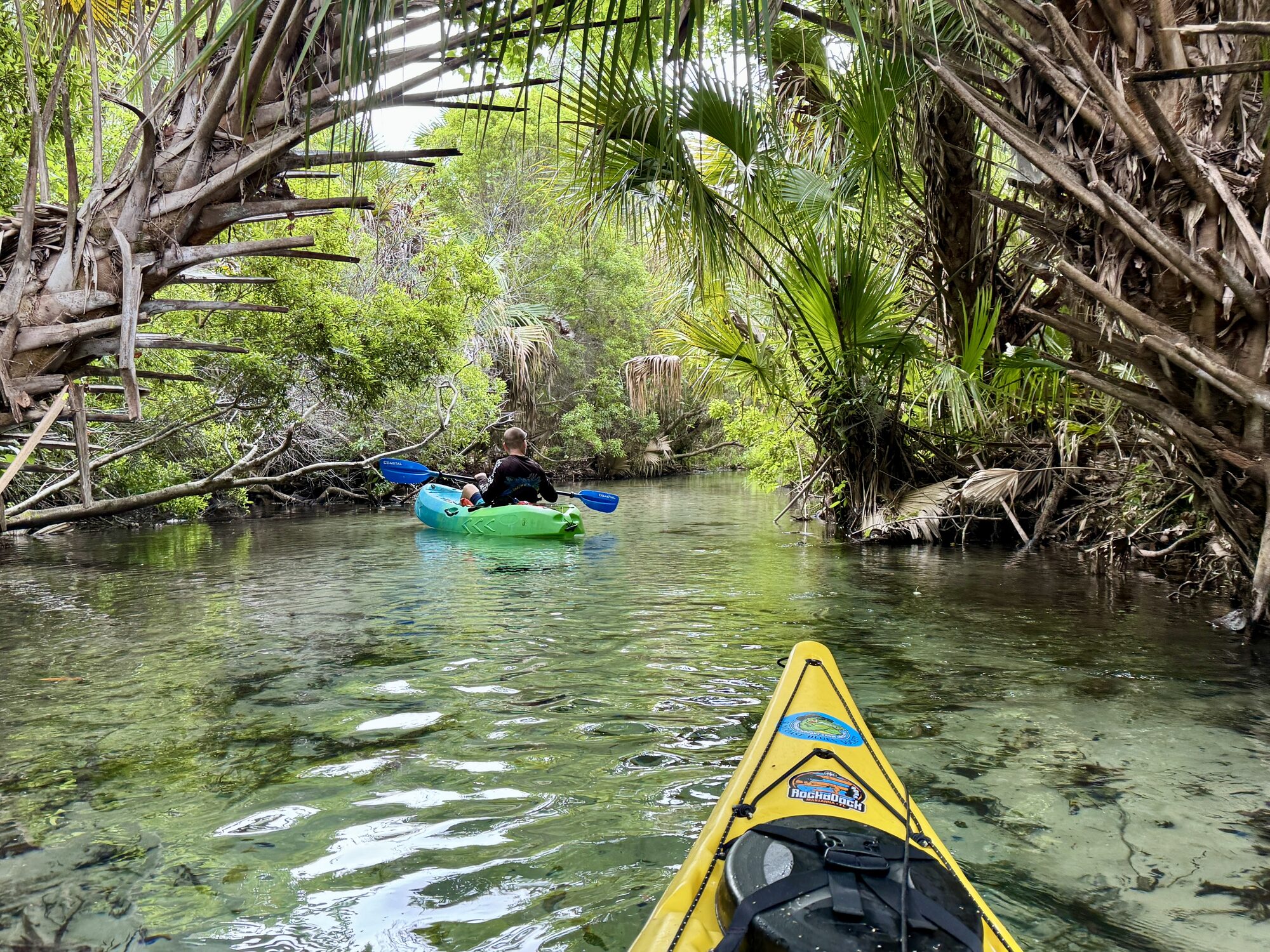
#10 — A paddler threads through a clear-water tunnel crowded by palms and old forest.

Tight turns and little room for error

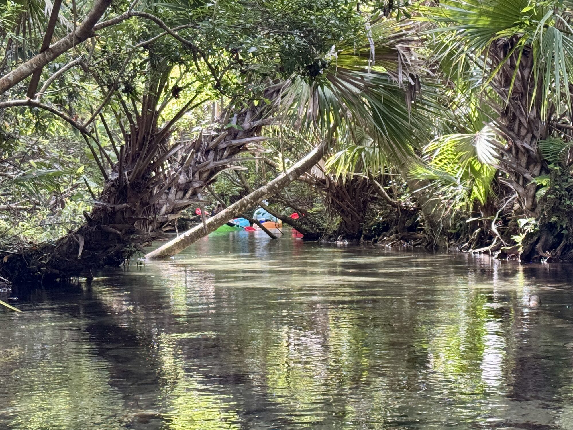
At the beginning, the channel can be only about 4 feet across. Even farther downstream, long stretches may feel only eight or ten feet wide, with the banks close enough to touch vegetation on either side. The run winds endlessly. You have to look through each bend, plan the next turn early and keep your paddle ready for quick corrections.

There is not much room for error. A poorly timed stroke can put the bow into one bank while the current swings the stern into the other. Low limbs, submerged wood, roots and sharp corners demand continuous attention. It is very easy to tip here, especially in the upper section. In that respect, Juniper reminds me of the Emerald Cut on Rock Springs Run—except Juniper keeps twisting through mile after mile of wilderness.

This is precisely what makes the run so much fun for an experienced paddler. It rewards anticipation, boat control and the ability to read moving water. You are not fighting big rapids; you are working with a narrow current that never stops asking you to make the next good decision. Beginners will probably struggle here, as will paddleboarders. But it sure is fun!
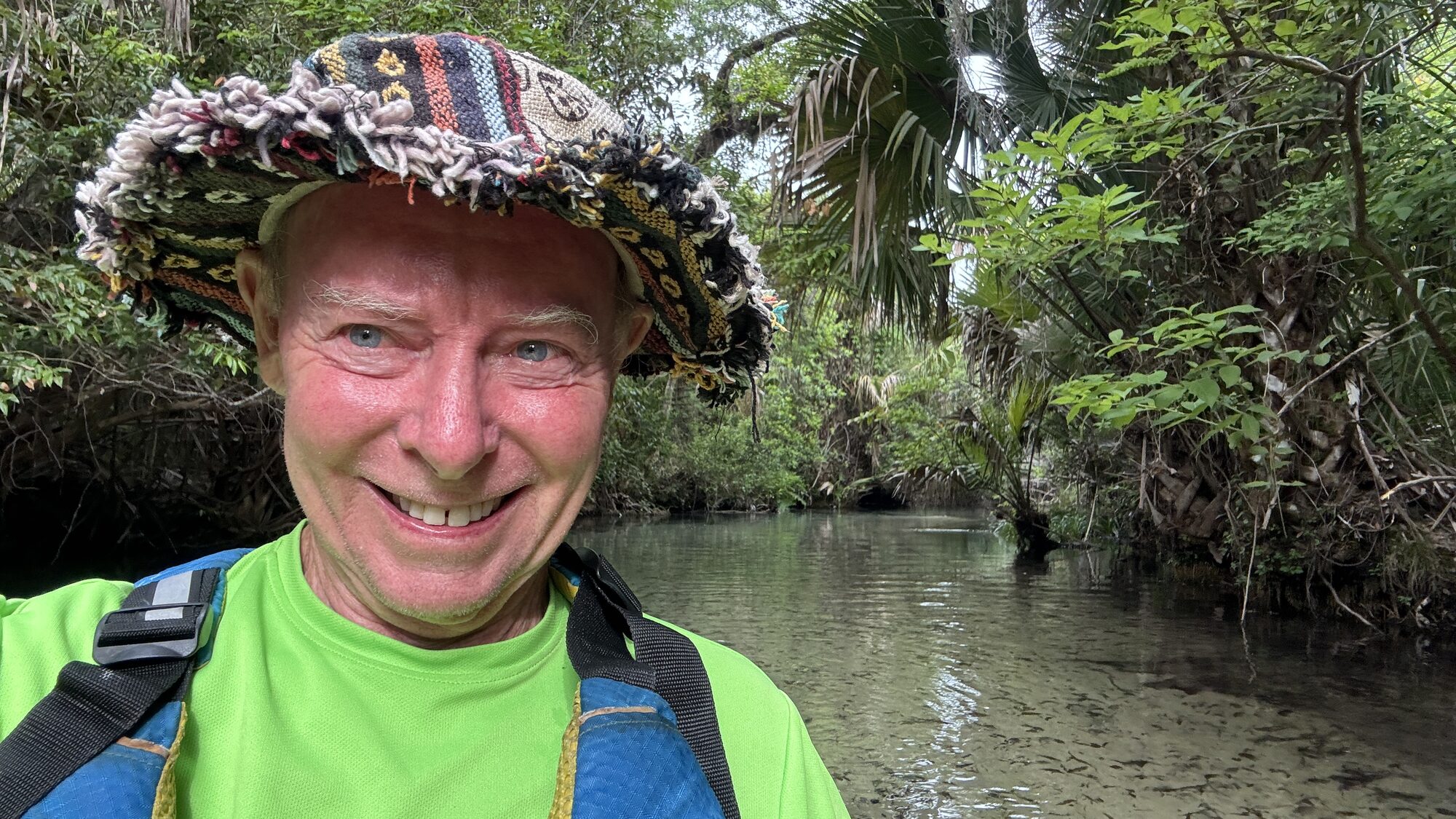
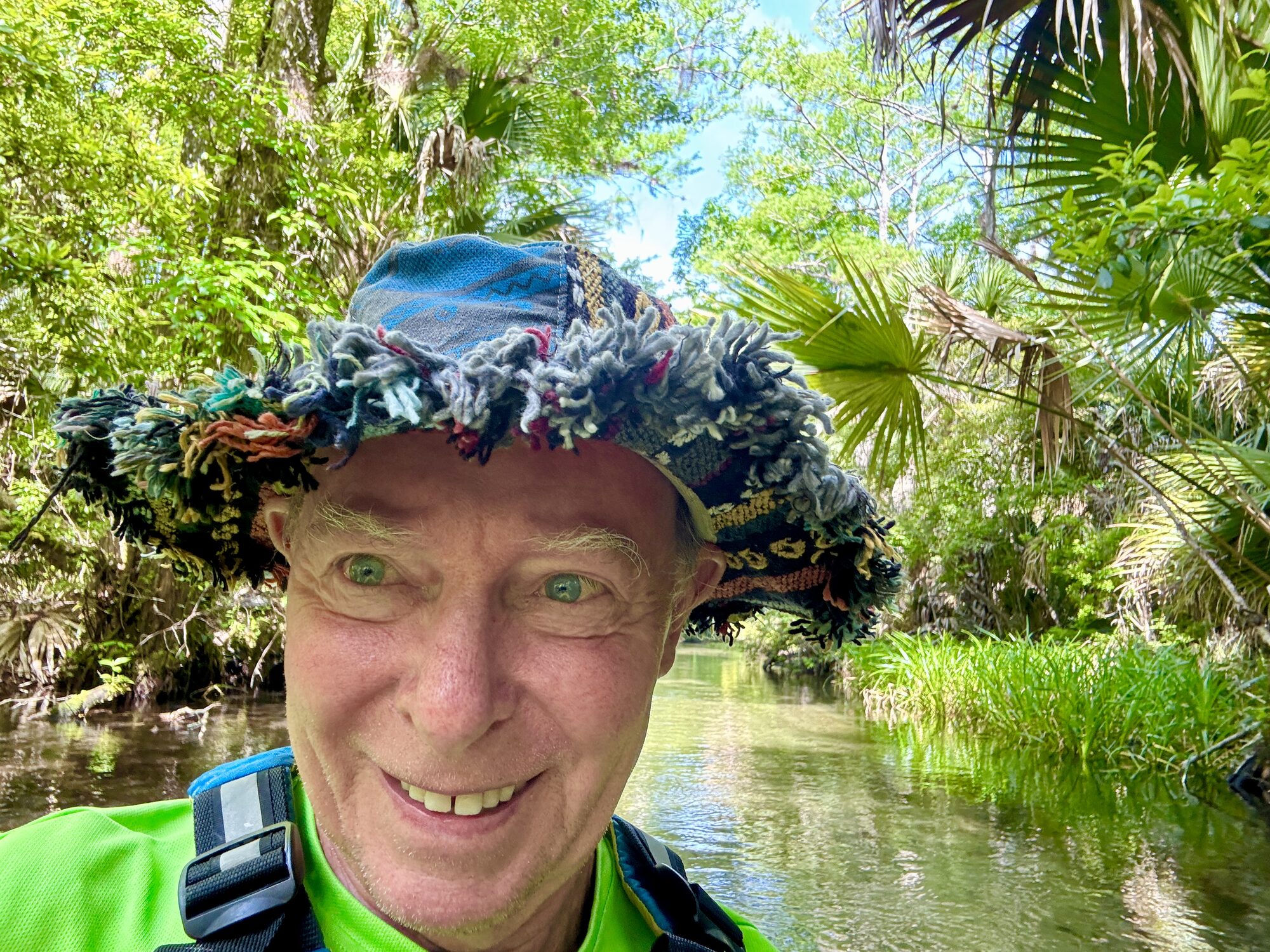
Tim Driskell wearing a PFD on the upper Juniper Run
#11 — Tim Driskell (me) enjoying the narrow, beautiful upper Juniper Run.
Kayaker making a correction stroke around a tight Juniper Run bend
#12 — A kayaker uses a quick correction stroke while rounding one of the upper run’s tight bends.
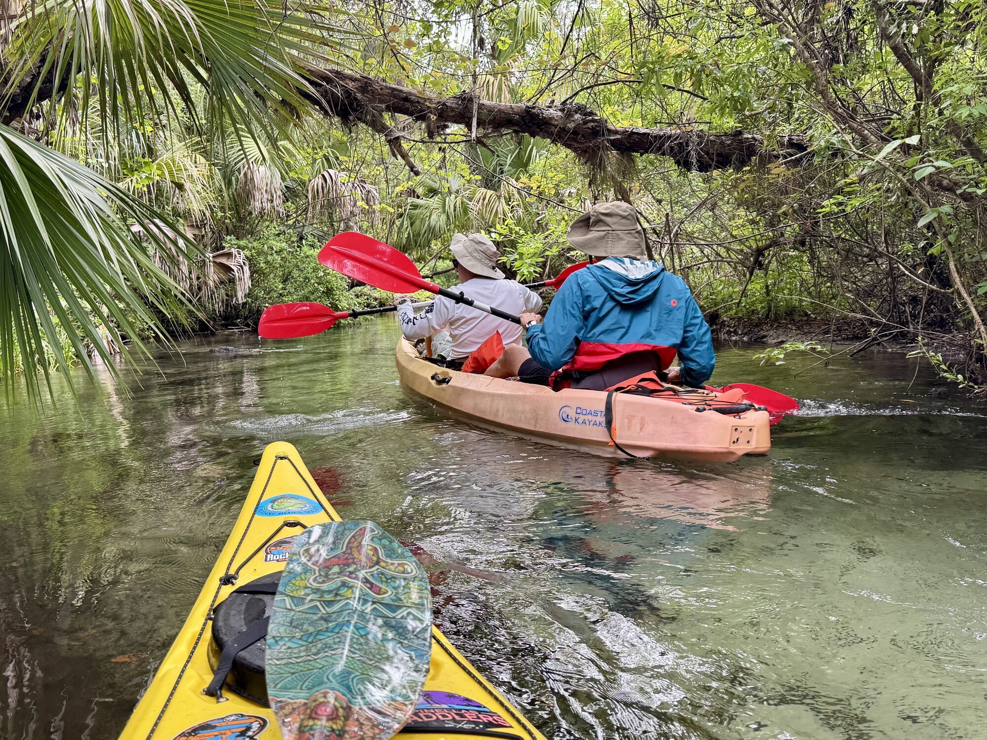
Well-spaced kayaks traveling down the narrow Juniper Run
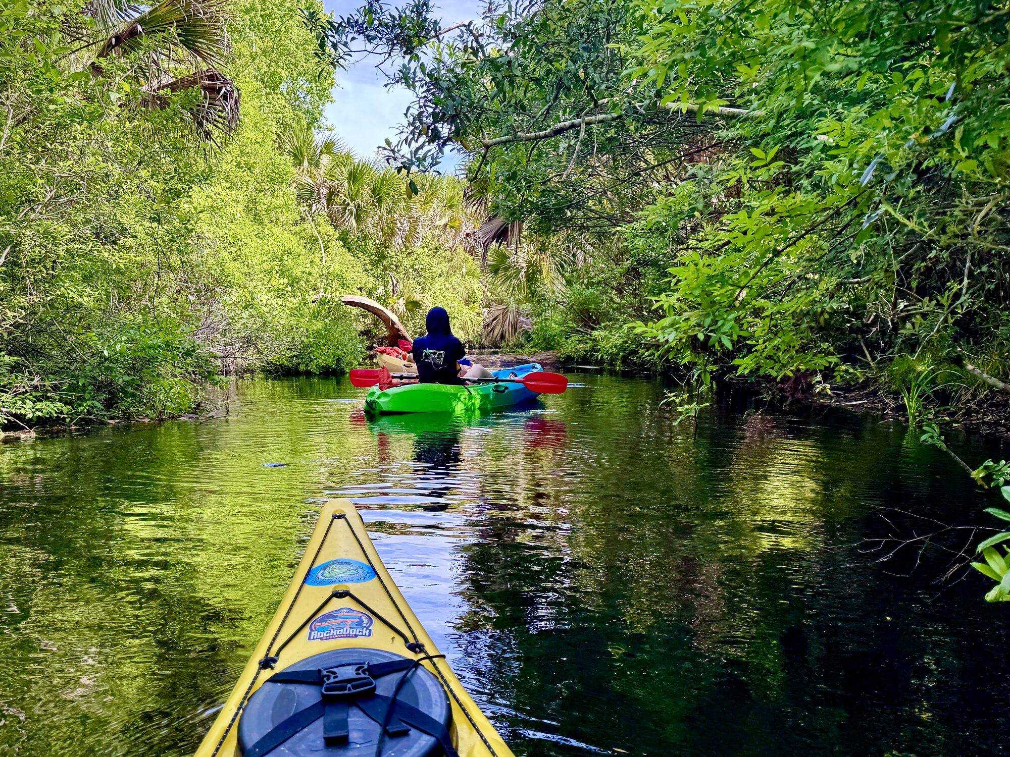
#13 — Good spacing gives each kayaker room to choose a line through the twisting channel.
Dense green palm canopy over clear Juniper Run water
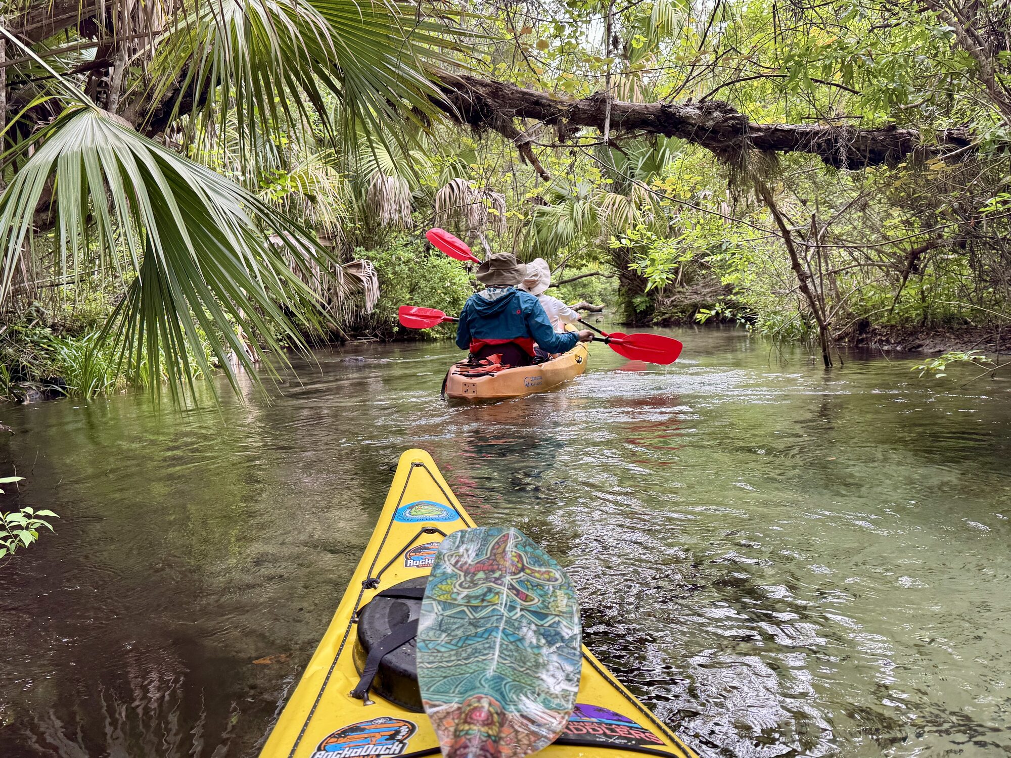
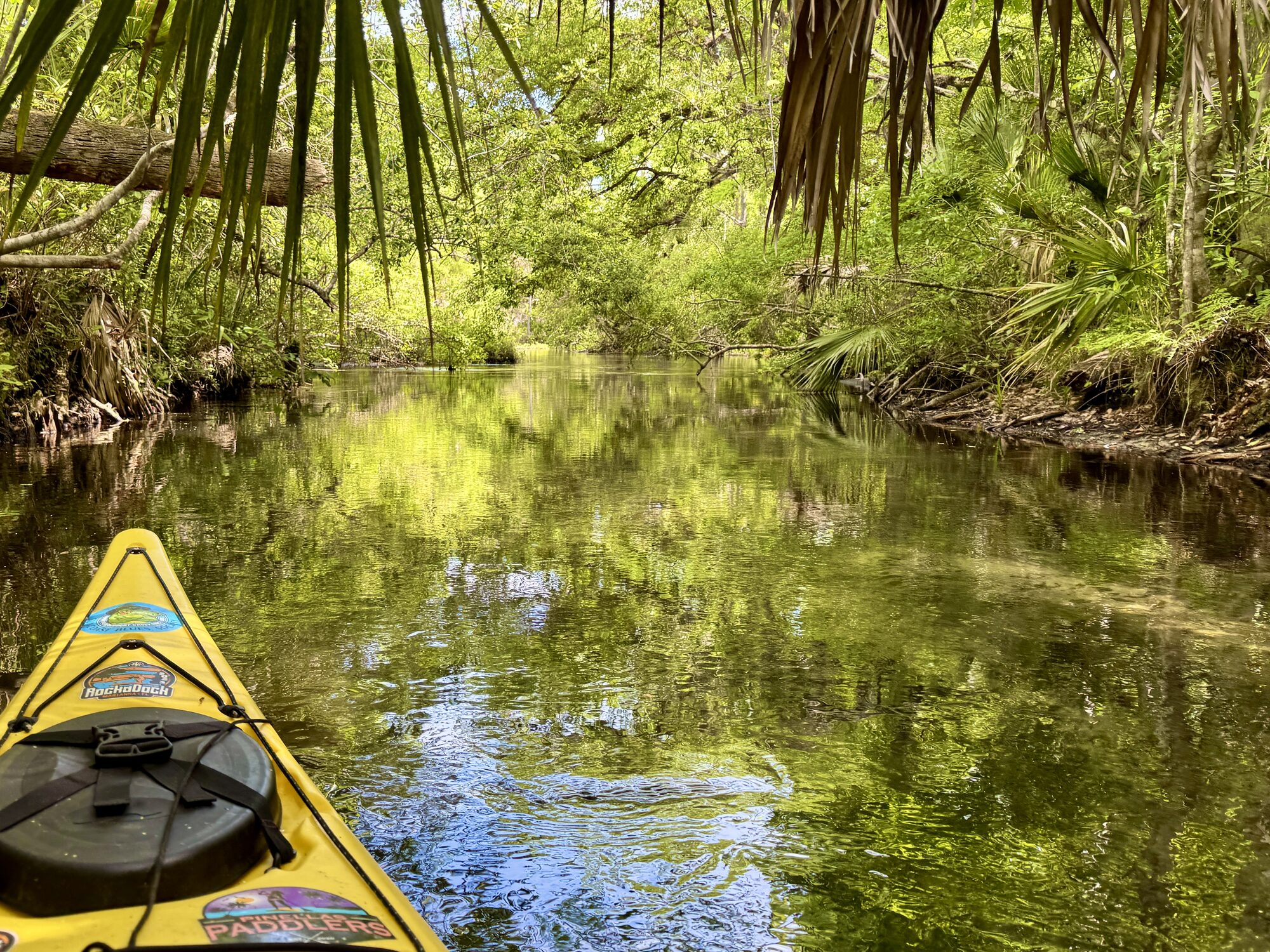
#14 — A dense green canopy closes over the clear spring water.

Primeval Florida

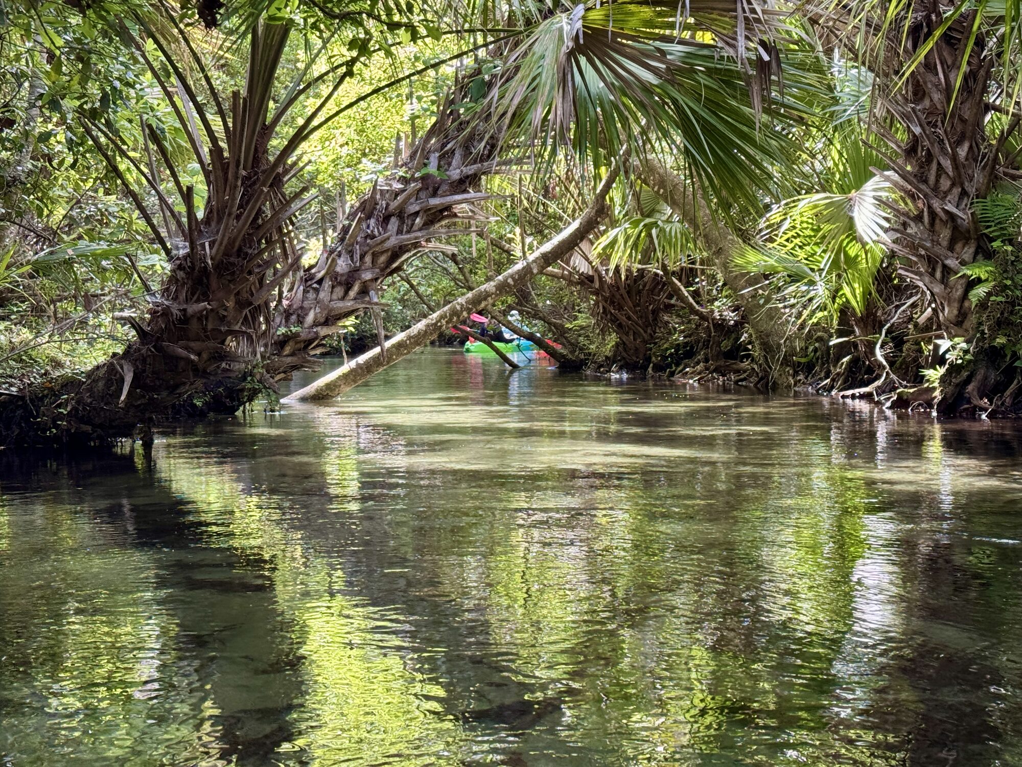
When there is enough room between boats to look around, the forest is magnificent. Old cypress and other deeply rooted trees lean over the water. Moss hangs from branches, palms crowd the banks and the canopy filters the morning sun into patches of green and gold. Some trees look genuinely ancient, as though the creek has been winding around their roots for centuries.

The close banks make the upper run feel intimate and almost primeval. There are moments when the modern world seems very far away. Because Juniper enters federally designated wilderness, obstructions cannot always be removed with power equipment. The wildness is real, not staged, and conditions can change after storms. There aren't many places like this in Florida anymore!
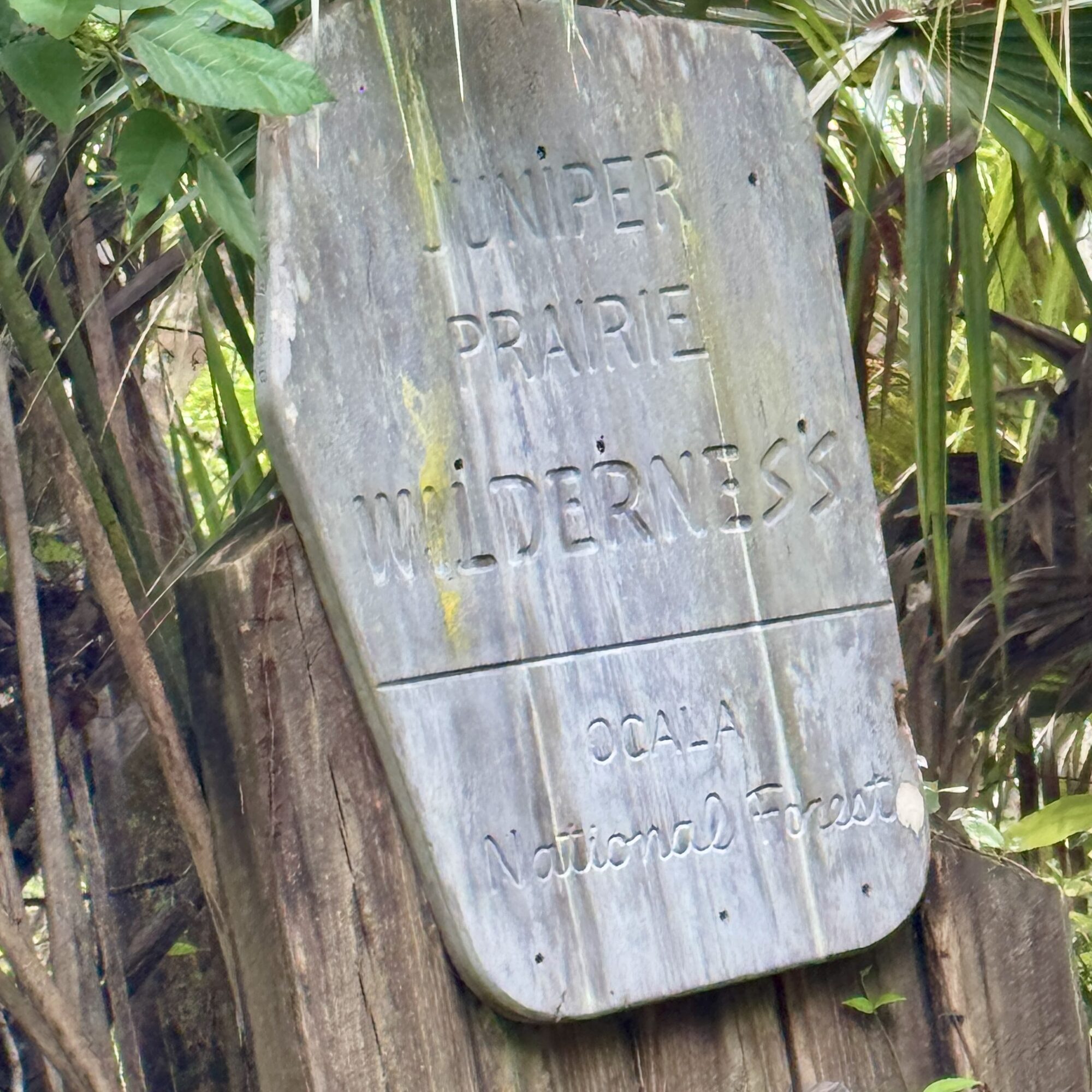
Weathered Juniper Prairie Wilderness boundary sign
#15 — A weathered Juniper Prairie Wilderness boundary sign beside the run.
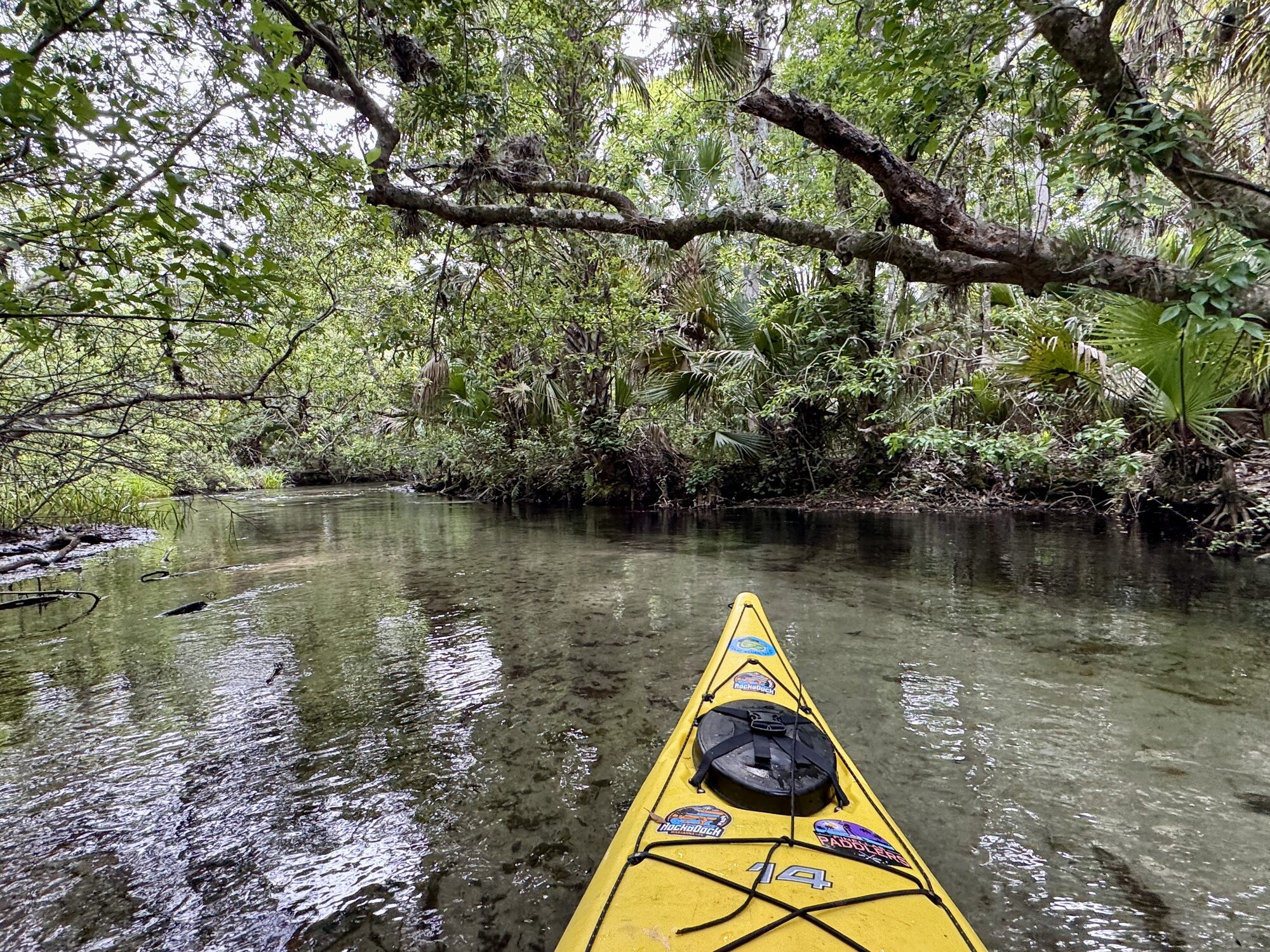
Juniper Run winding beneath old arching oak trees
#16 — Clear water winds beneath sprawling old oaks in the Juniper Prairie Wilderness.
Kayak approaching a low tree across Juniper Run
#17 — The kayak approaches another low tree where early positioning is essential.
Green plants growing inside an old hollow log beside Juniper Run
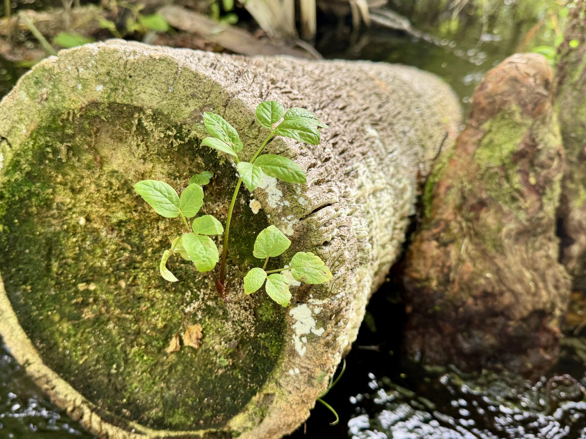
#18 — New plants grow from an old hollow log beside the spring run.
Paddlers following the current through Juniper Run
#19 — Paddlers ahead follow the current through alternating shade and sunlight.
Sunlight reflecting across clear Juniper Run water
#20 — Morning sunlight reflects across the clear current as the group continues downstream.
Sandy bottom visible through clear Juniper Run water
#21 — The pale sandy bottom remains visible through exceptionally clear water.
Kayaker negotiating a fallen limb across the creek
#22 — A kayaker negotiates a fallen limb in one of the run’s constricted passages.
Paddler carefully clearing a woody obstruction in Juniper Run
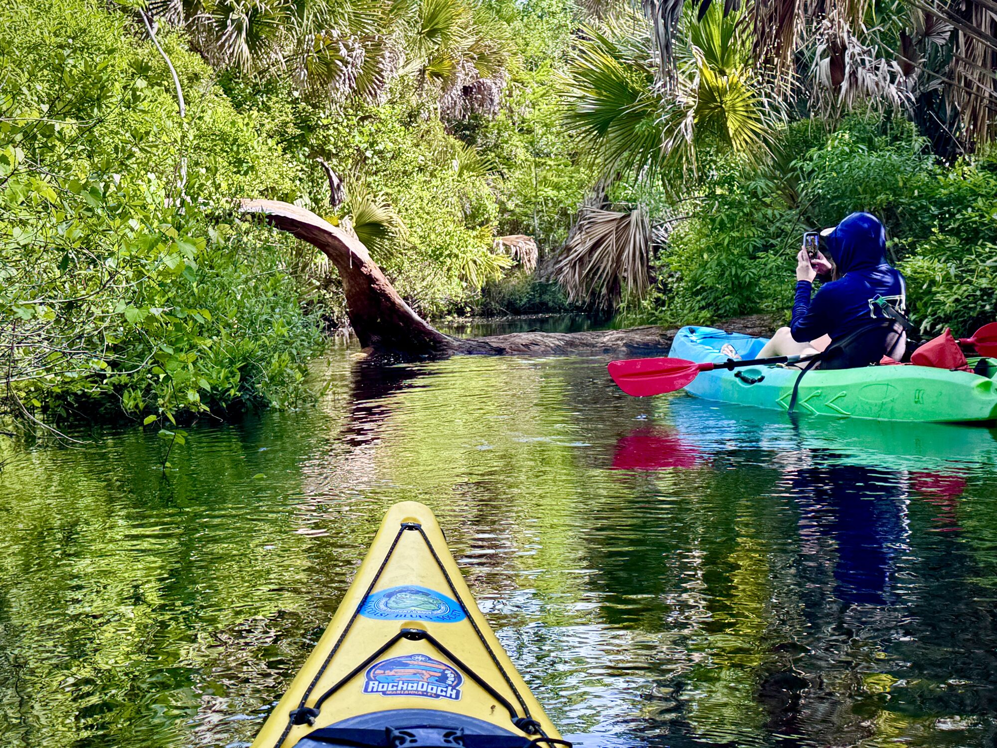
#23 — Careful boat control helps a paddler clear a woody obstruction without creating a pileup.
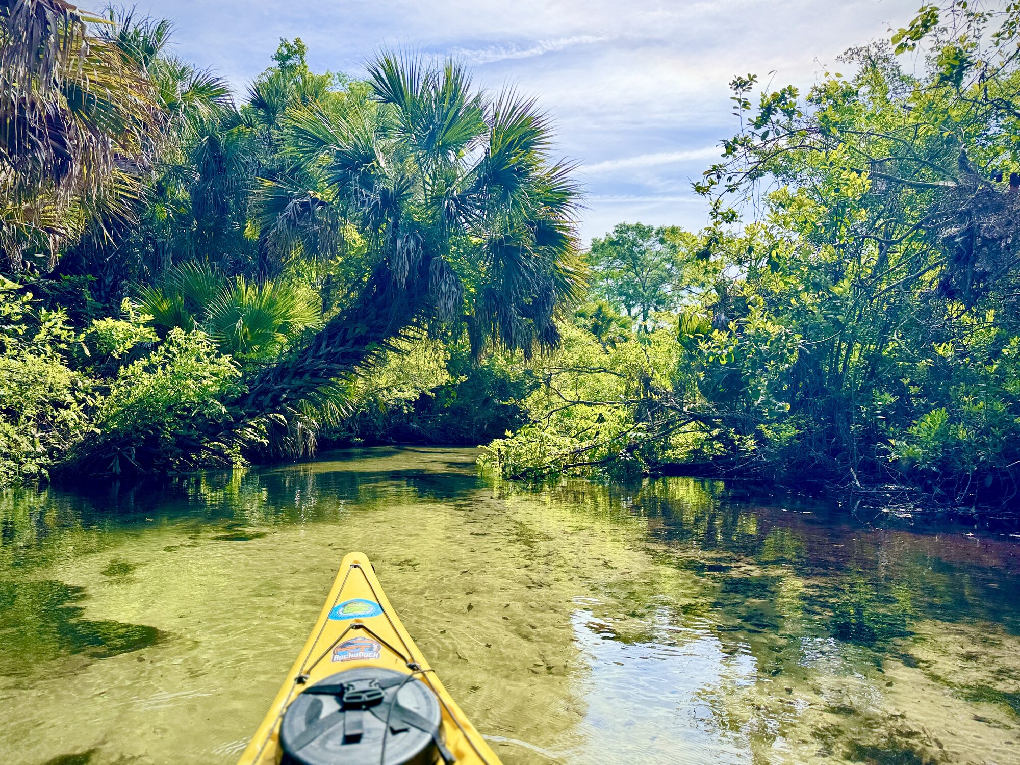
Yellow kayak gliding through luminous Juniper spring water
#24 — The yellow kayak glides through luminous spring water beneath palms and moss.
Yellow kayak on a beautiful palm-framed stretch of Juniper Run
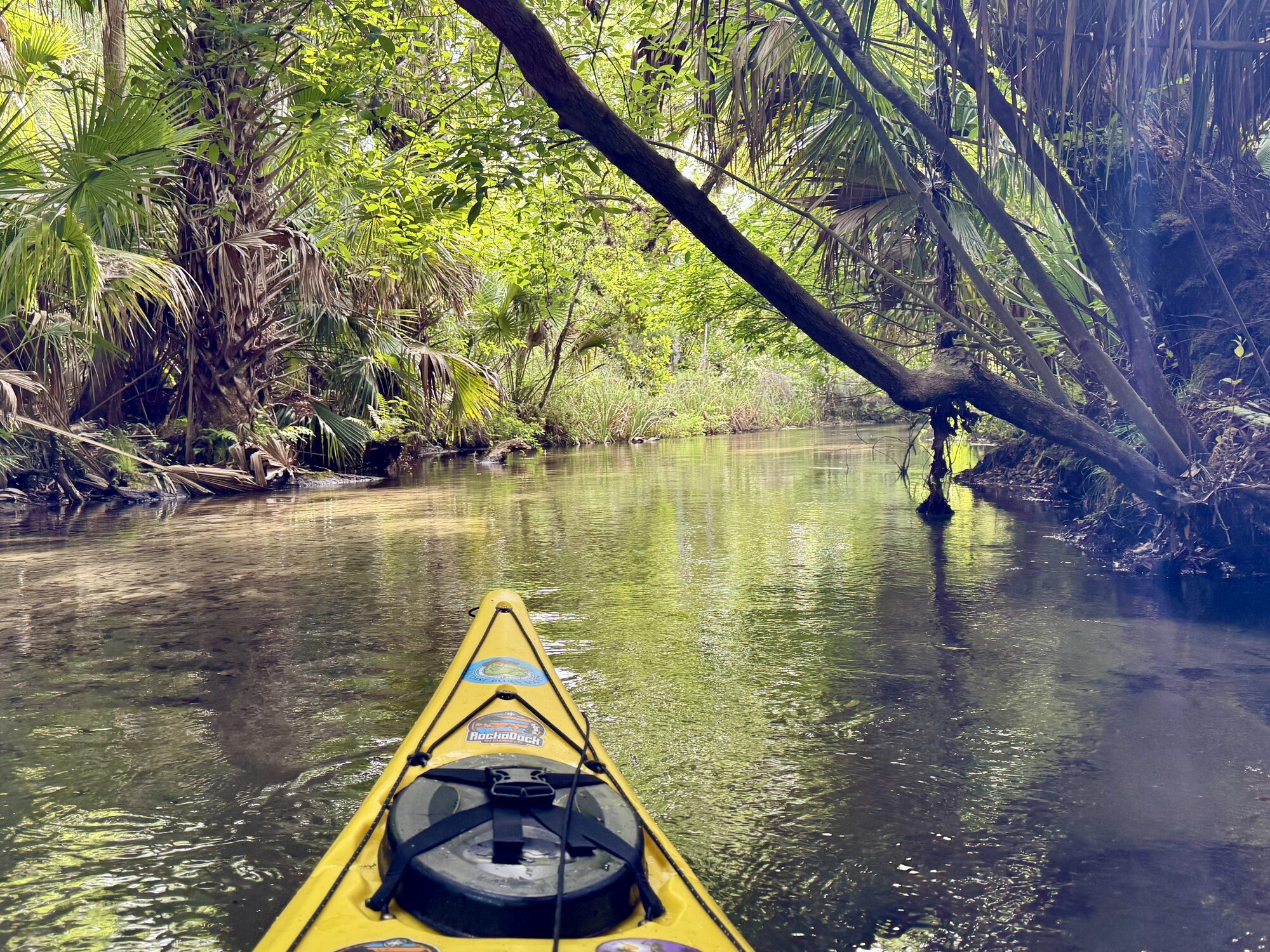
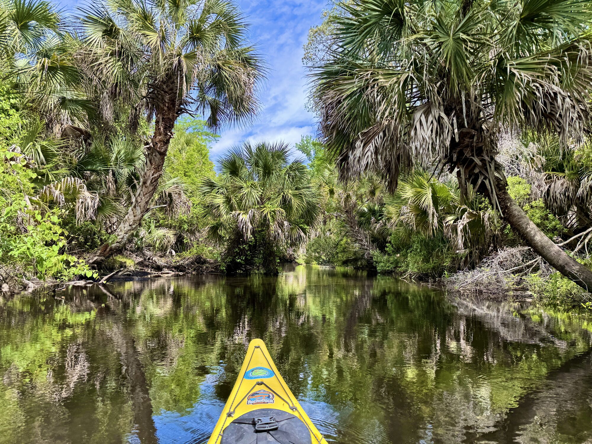
#25 — Palms frame a particularly beautiful stretch of the narrow waterway.

The creek grows wider

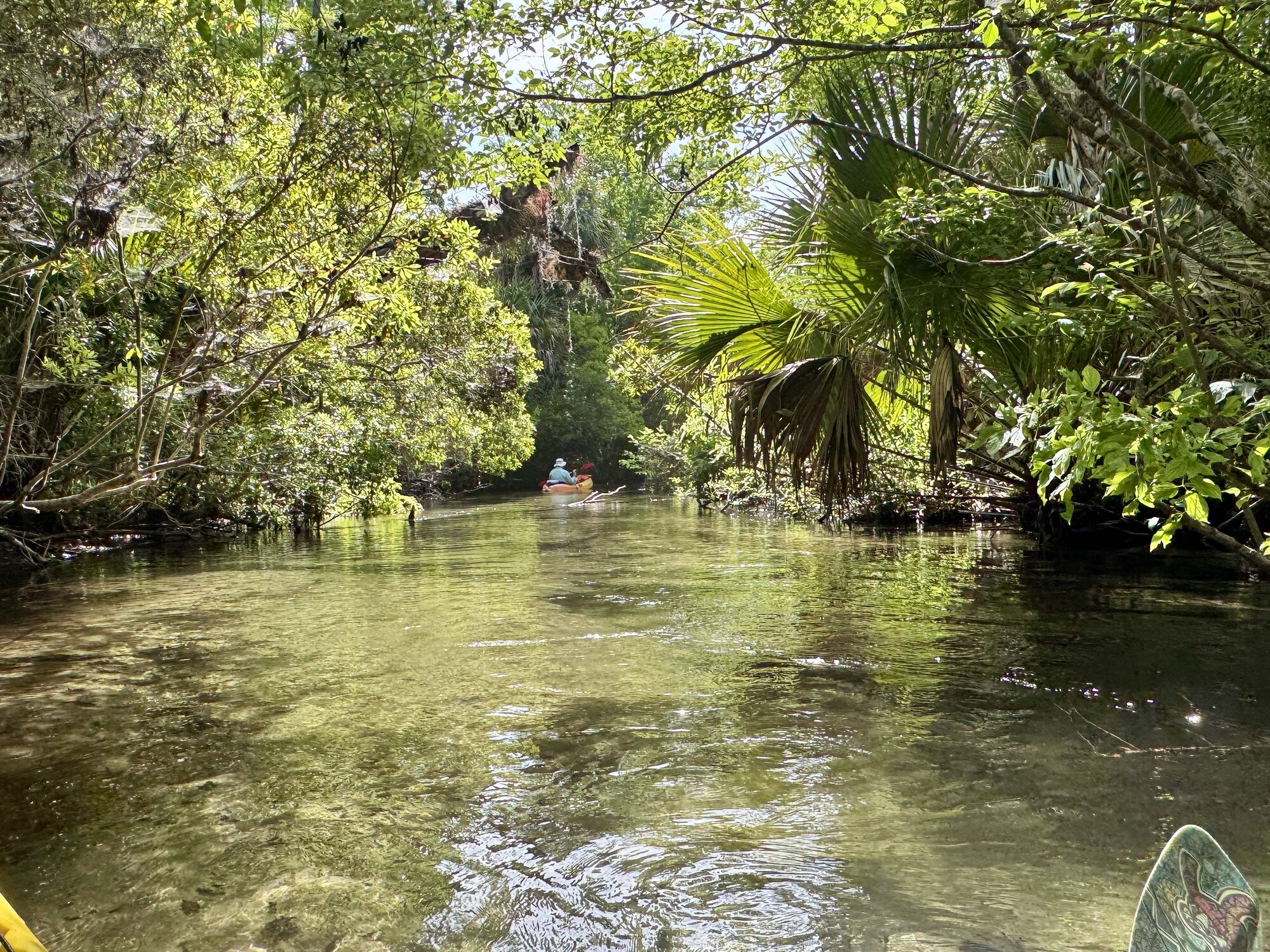
About midway down, the run gradually begins to relax. Small tributaries and additional spring flows join the creek, the channel opens and there is finally more room to maneuver. The current remains, but paddlers can spread out, settle into a rhythm and spend more time looking into the water and across the forest. There are even a couple of class 1 drops towards the end which are a heck of a lot of fun!

Even as the creek becomes wider, it retains the clarity and character of a true spring run. Nearly all the water feeding this upper system seems to arrive from springs and seeps within the surrounding forest. The water remains clear, cool and alive with submerged plants, fish, turtles and reflected light.
Kayak bow pointing down a clear Juniper Run corridor
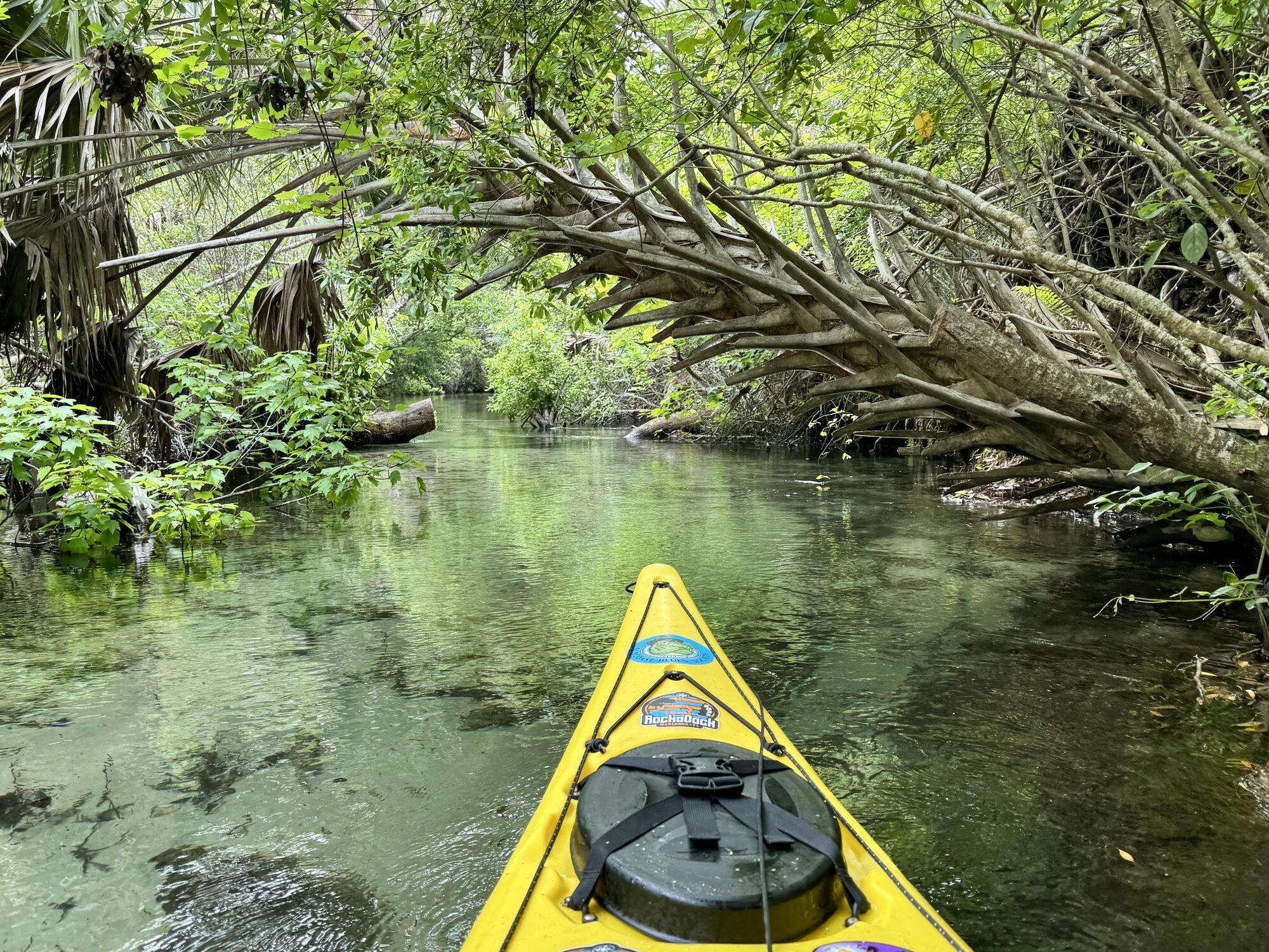
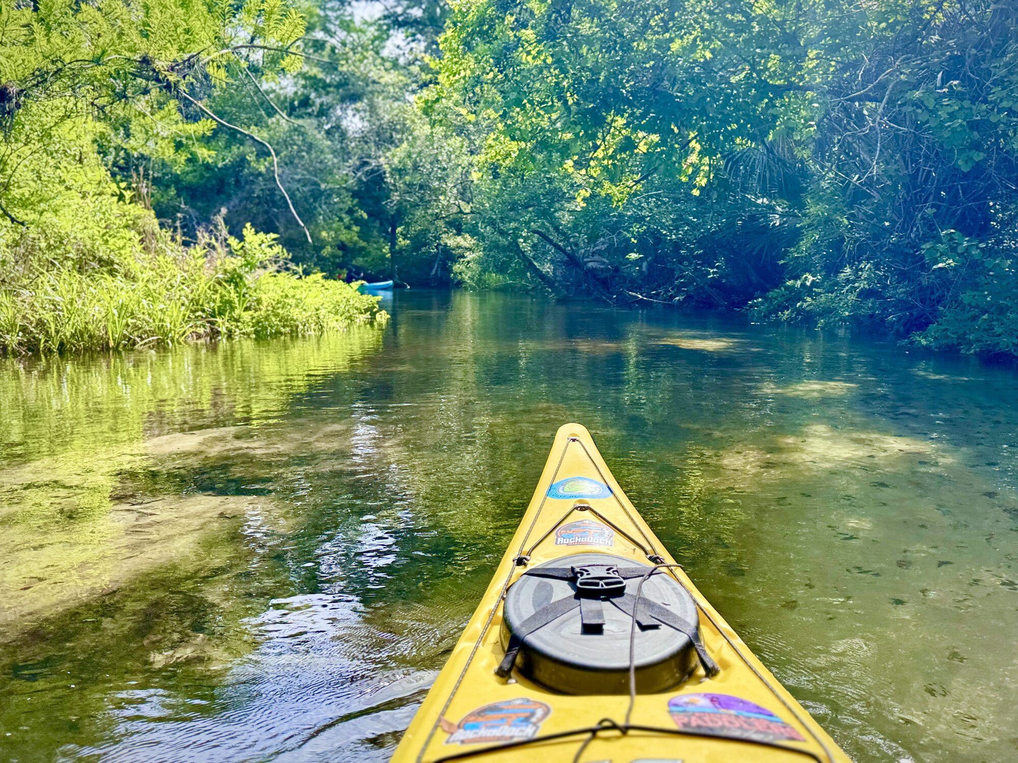
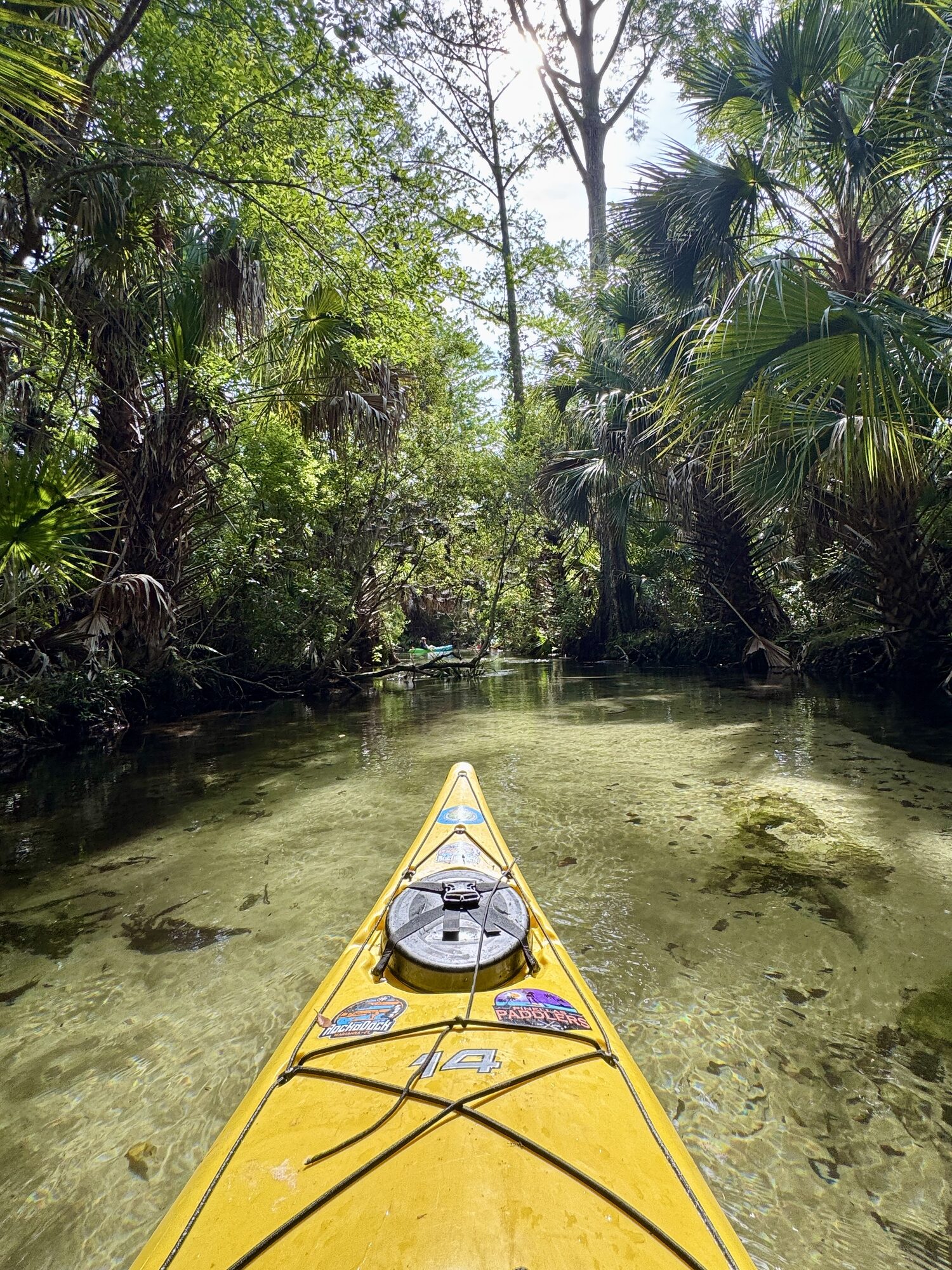
#26 — The kayak bow points down a glass-clear corridor through the forest.
Sunbeams shining onto paddlers on Juniper Run
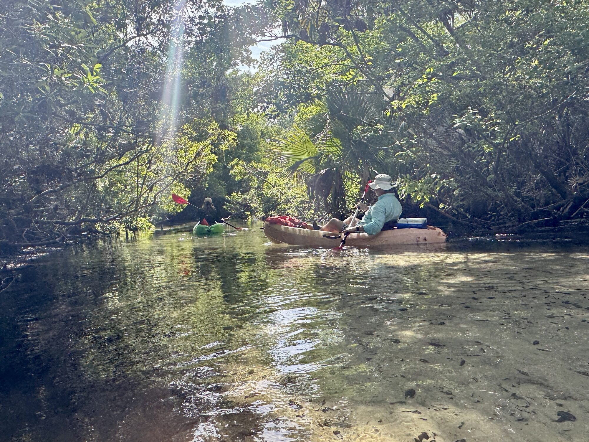
#27 — Sunbeams reach the paddlers through the thick overhead canopy.
Juniper Run beginning to widen downstream
#28 — The channel begins to open as more spring water joins the run.
Shaded clear water and sandy bottom on Juniper Run
#29 — Deep shade and a visible sandy bottom give the creek a primeval stillness.
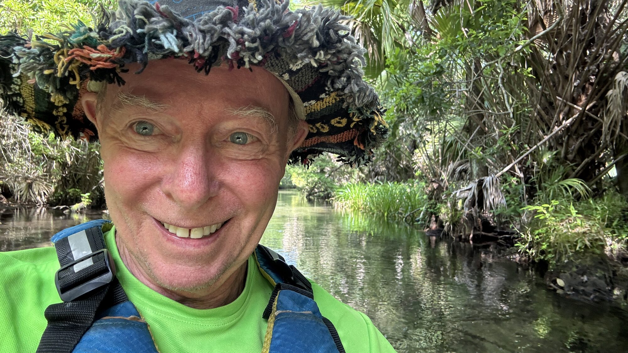
Tim Driskell on the shaded Juniper Run
#30 — Tim pauses for a photograph surrounded by palms and clear water.
Tim Driskell with the Juniper Prairie Wilderness behind him
#31 — Tim on Juniper Run with the wilderness corridor stretching behind him.
Wide turquoise stretch of Juniper Run with bright sandy bottom
#32 — A wider stretch reveals turquoise water, bright sand and dense subtropical vegetation.
Clear current flowing into a wider Juniper Run channel
#33 — The clear current continues downstream as the banks gradually spread apart.
Dark oak canopy reflected across Juniper Run
#34 — A broad oak canopy casts dark reflections across the widening creek.
Two paddlers traveling through a wider section of Juniper Run
#35 — Two paddlers move comfortably through a wider section of Juniper Run.
Kayakers passing a fallen tree in the lower Juniper Run
#36 — Kayakers choose their line beside a large fallen tree extending into the channel.
Yellow kayak approaching a dead tree beside Juniper Run
#37 — The yellow kayak approaches an old trunk along a calm, reflective bend.
Forest reflections around a fallen trunk on Juniper Run
#38 — Forest reflections surround a fallen trunk in the lower run.
Palmetto fronds arching over the wider Juniper Run
#39 — Palmetto fronds hang over the increasingly broad spring-fed creek.

Alligators near the lower end

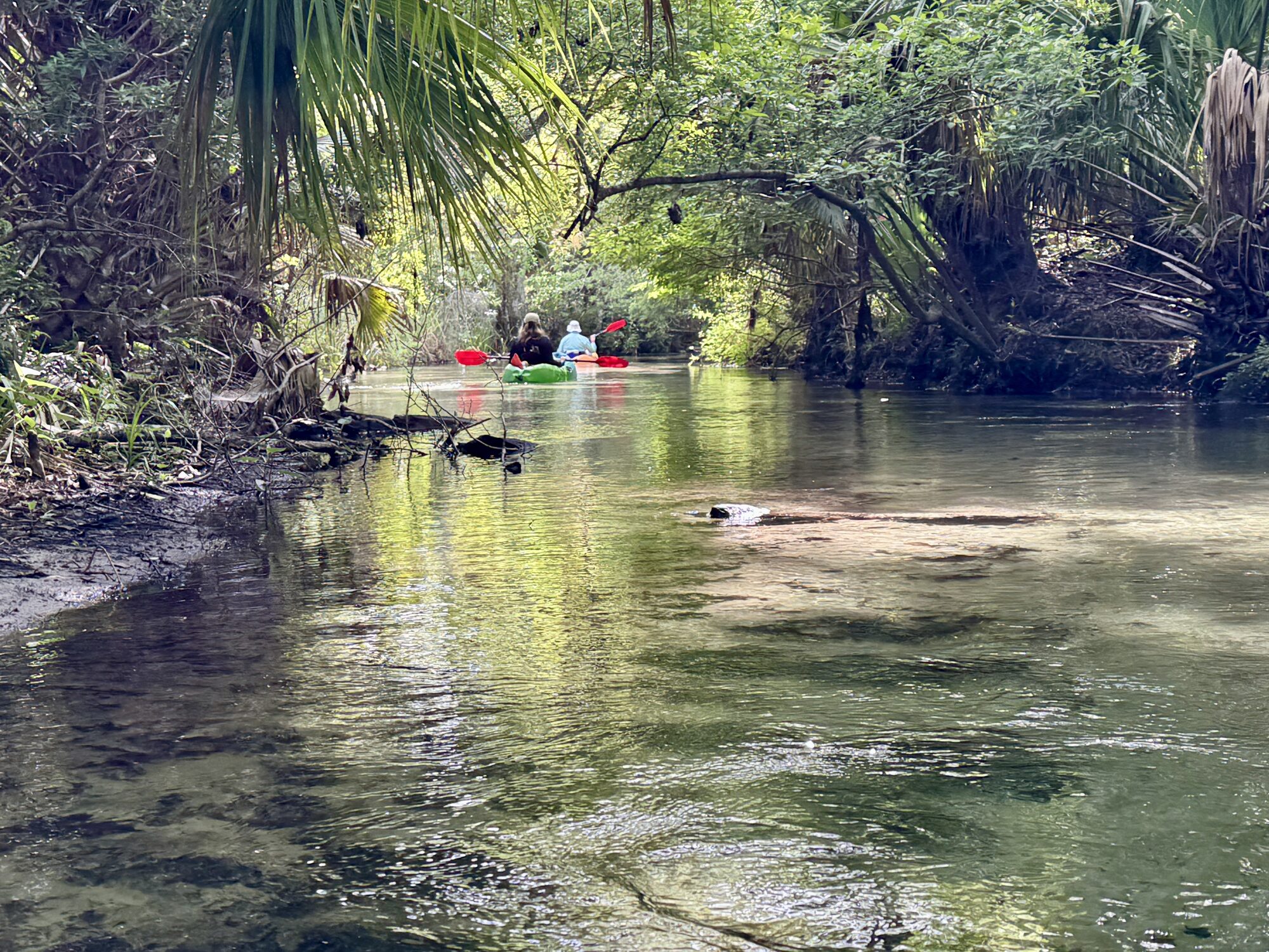
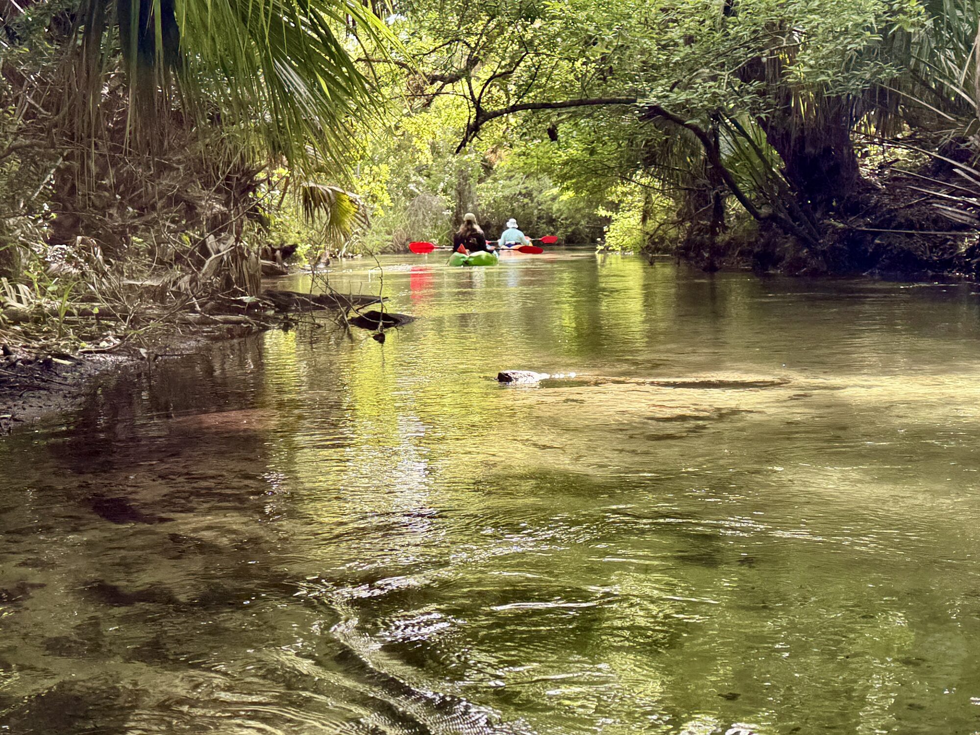
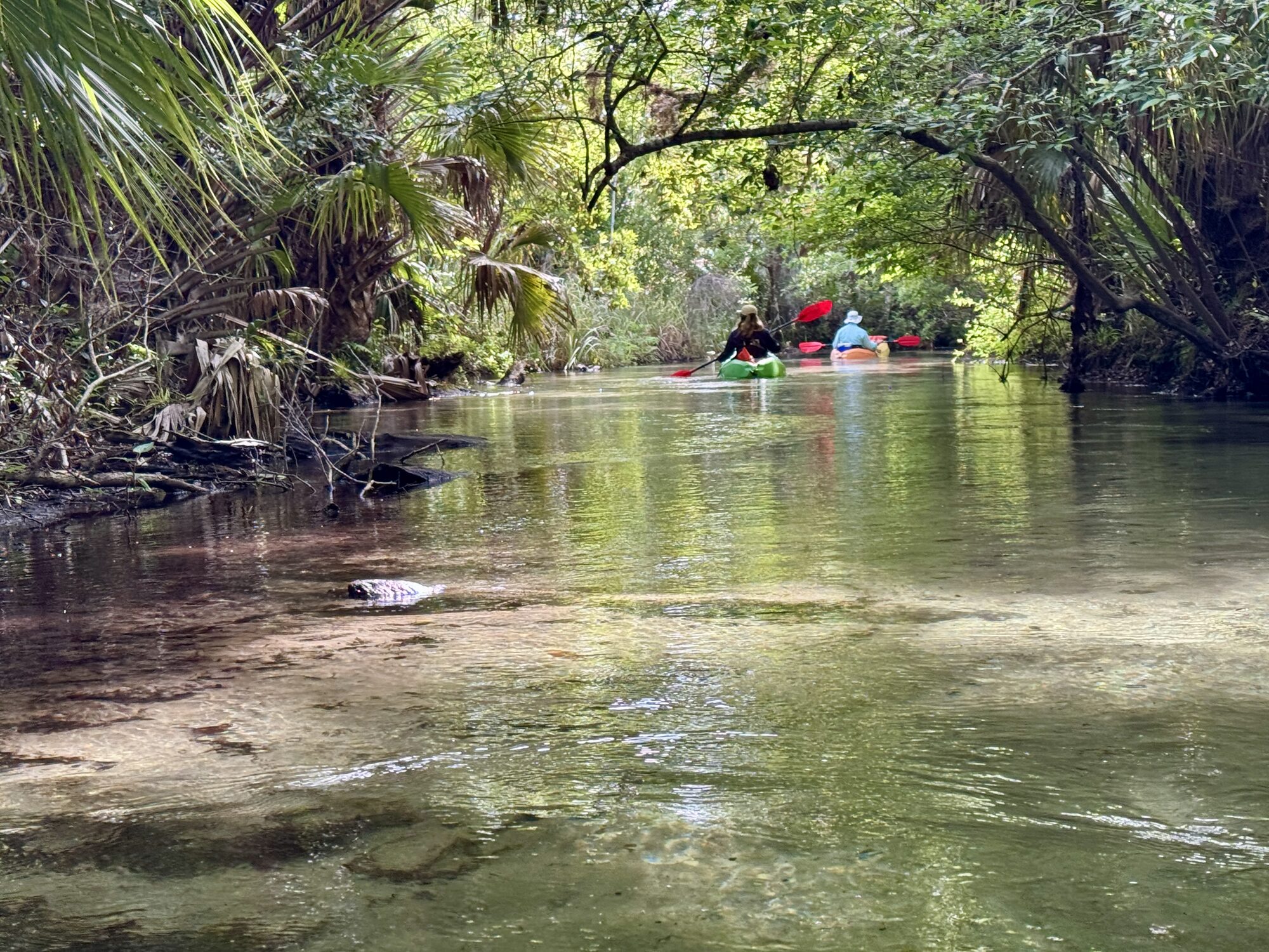
Alligators live throughout Juniper Run, and some very large ones are regularly seen along the broader lower section. Most will remain on the bank or slip quietly into the water, but this is their habitat and every animal should be given plenty of space. A few alligators in this part of the run have earned a reputation for being less than friendly.
Pass cautiously: stay in your boat, keep the group together but not bunched up, do not approach or feed wildlife, and give a large alligator the widest practical berth. Swimming is prohibited along Juniper Run.
White wildflower blooming beside Juniper Run
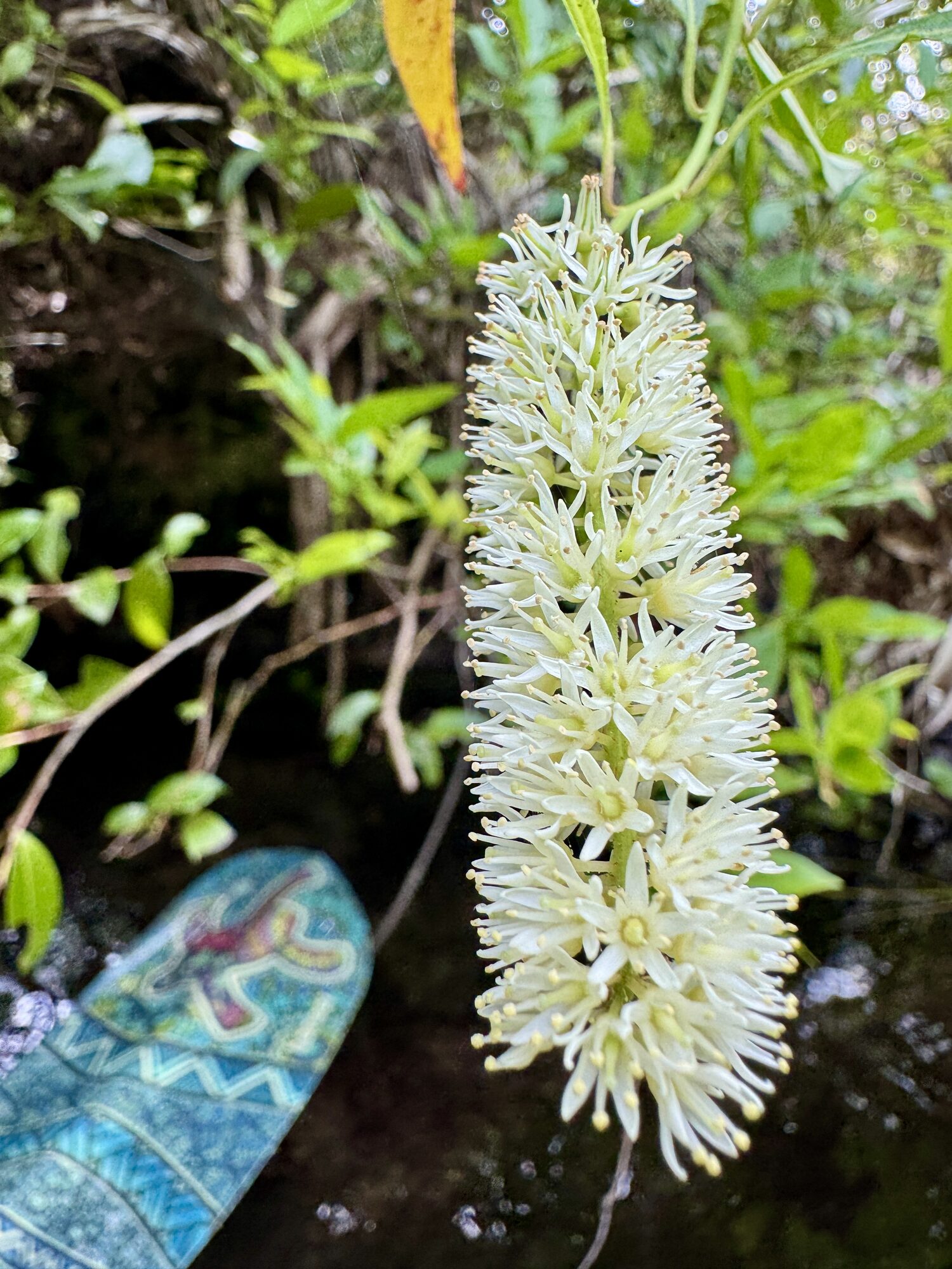
#40 — A white wildflower blooms beside Juniper Run.
Kayaker paddling through a narrow gap on Juniper Run
#41 — A paddler continues through another narrow gap in the wilderness corridor.
Broad lower Juniper Run beneath cabbage palms and blue sky
#42 — The lower run becomes broader beneath cabbage palms and blue sky.
Massive low oak reaching across the lower Juniper Run
#43 — A massive low oak reaches across the creek near the end of the trip.
Old arching oaks lining the lower Juniper Run
#44 — Old arching oaks line the wider lower reaches of Juniper Run.

The takeout and shuttle

The one-way paddle ends at Juniper Wayside, where the creek passes beneath State Road 19. Watch for the landing and follow the outfitter’s instructions for loading boats and meeting the return shuttle. When checking in at the beginning of the day, you can select or be assigned a shuttle time.

Shuttles generally arrive in scheduled waves, often roughly an hour apart. Be at the takeout and ready at your appointed time. If you miss it, you may be waiting for the next trip. Do not cut the paddle so close that a short delay—a capsized boat, a blocked channel or helping another paddler—creates a frantic race to the landing. The wilderness deserves your attention all the way to the end.

Juniper Run map and access points

The blue line is a simplified orientation line, not a navigational track. Juniper Run bends extensively between the launch and takeout; remain in the main channel and follow all outfitter instructions.

Launch: Juniper Springs

26701 E Highway 40, Silver Springs, FL 34488

From I-75 in Ocala, take SR 40 east through Silver Springs and into Ocala National Forest. The recreation-area entrance is on the north side of SR 40, west of the SR 19 junction.

Takeout: Juniper Wayside

State Road 19 at Juniper Run

The designated takeout is northeast of the launch where Juniper Run passes beneath SR 19. This is the shuttle meeting point—not the place to begin the standard one-way trip.

Before you go

Conditions and operating details change. Before traveling, check the official recreation-area and outfitter information linked below. The U.S. Forest Service describes Juniper as a wilderness run for experienced paddlers, not beginners.
Current planning information: U.S. Forest Service — Juniper Run · Recreation.gov — Juniper Springs Recreation Area · Naventure / on-site outfitter information