Weather.gov
Start here for official National Weather Service forecasts, watches, warnings, radar, rivers, rainfall, satellite, and current conditions.
Weather has never been background scenery in my life. It has been a guide, a warning system, a scientific puzzle, a source of beauty, and sometimes the deciding factor between an unforgettable day and a very bad one.
I have been fascinated by weather for as long as I can remember. Anyone who spends enough time outdoors eventually learns that the forecast is not a small detail. It controls the route, the timing, the clothing, the safety margin, the water level, the visibility, the mood of a landscape, and sometimes whether you should go at all.
For me, checking the weather has always been part of preparing for the day. Before climbing, hiking, paddling, camping, doing field work, traveling, photographing a sunset, or simply deciding where to go, I want to know what the atmosphere is doing and what it is likely to do next.
I rarely look at just one forecast. I compare radar, satellite imagery, wind, hourly timing, rainfall, tides, river stages, cloud cover, and the larger pattern. Then I look outside. Forecasts are models of the future; the sky is the latest observation.
My years of hiking, backpacking, rock climbing, ice climbing, and mountaineering taught me to respect weather in a way that ordinary daily life never could. A mild day in a valley can become winter above treeline. A cloud bank can erase visibility. A wet rock route can become unclimbable. A thunderstorm can turn an exposed summit into the last place on Earth you want to be.
In New England, Mount Washington was the ultimate weather classroom. Wind, fog, ice, whiteouts, deep cold, and sudden changes were not abstract forecast terms. They were physical forces. Ricky and I once found ourselves caught on Mount Washington in darkness and cold, facing the possibility of sharing one bivy sack. Experiences like that sharpen judgment permanently.
Winter climbing added another layer. Temperature determined the condition of the ice. A warm spell could weaken a route; extreme cold could make ice brittle and climbing miserable. Snowfall, wind loading, thawing, refreezing, and daylight all mattered.
On western trips, afternoon thunderstorms shaped alpine starts. In the Tetons, we woke at 4 a.m. for the Grand Teton in the middle of a tremendous storm. The weather cleared later, but too late for a safe summit attempt. That was disappointing, but it was also the correct decision. Mountains will still be there. The harder lesson is accepting that sometimes the best climb is the one you do not begin.

Kayaking has made me every bit as weather-dependent as climbing did. On Florida water, wind direction and speed often matter more than the chance of rain. A ten-mile-per-hour wind can be helpful, annoying, or dangerous depending on the route, shoreline, current, and direction of travel.
At Hurricane Pass between Honeymoon and Caladesi Islands, I often look for the combination of an outgoing tide and a west wind. That interaction can create standing waves and one of my favorite local paddling experiences. But the same forces that make the pass exciting can punish a paddler who does not understand the channel, the crossing angle, or what the wind will do on the return.
I study tides for Cross Bayou, Long Bayou, Johns Pass, mangrove trails, shallow launches, and narrow creeks. Too little water can turn a beautiful route into mud and oyster bars. Too much wind over open water can turn a pleasant outing into hours of work. Thunderstorms add lightning, sudden gust fronts, and abrupt wind shifts.
That is why I carry safety equipment, wear my PFD, use a VHF radio, share my live location with Kym, and make conservative decisions about crossings. Skill matters, but good weather judgment prevents many rescues before they are needed.

My fascination with weather eventually became part of my professional life. As a hydrologic technician and field biologist with the U.S. Geological Survey, I worked where rainfall became runoff, floods, river stages, erosion, high-water marks, and public consequences.
Storms were not simply dramatic events. They were data-producing systems. Rainfall intensity, duration, antecedent soil moisture, watershed size, land cover, drainage patterns, storm surge, and timing all influenced what happened next.
During flood-response work, weather determined when we deployed, where water was rising, which roads might become inaccessible, and how quickly perishable evidence needed to be documented. High-water marks disappear. Debris gets moved. Mud lines fade. The work demanded both scientific discipline and practical weather awareness.
My earlier work in ecology and conservation also depended on weather. Wetlands, ponds, vernal pools, streams, forest moisture, plant communities, insects, amphibians, and seasonal cycles are all expressions of climate filtered through local landscapes.
Weather connected nearly everything I studied: hydrology, ecology, geology, land use, flood risk, stormwater infiltration, and the health of watersheds.
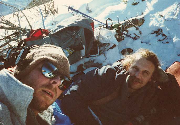
Weather shaped nearly every long journey I took. It influenced when I entered the Bugaboos, when I attempted alpine climbs in the Tetons, where I camped in the Rockies, how I crossed snowfields, and whether a road or trail was reasonable.
In Central and South America, weather controlled river travel, jungle conditions, visibility, insects, heat, mud, mountain clouds, and the timing of flights and boats. On Cotopaxi, elevation and cold mattered. In the Galápagos, wind and water conditions influenced snorkeling and boat travel. On the West Coast Trail, tides and storms could determine whether a beach section was passable.
Even the most ordinary travel days were weather decisions. Should I drive now or wait? Camp high or low? Hike early or late? Take a coastal route or move inland? Stay another day because the light is beautiful, or leave because a front is coming?
Weather gave structure to trips that otherwise had very little structure.
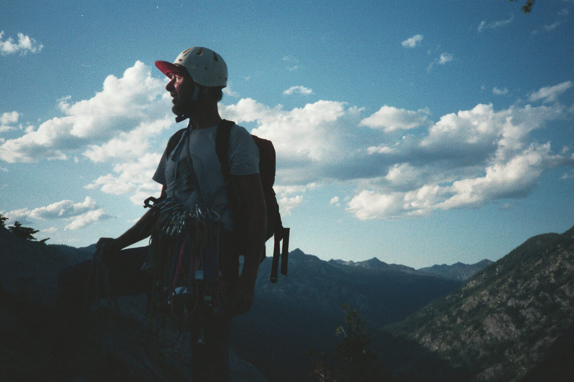
Weather is also one of the reasons landscapes never become boring. The same beach, mountain, pond, trail, or pass can look completely different under fog, high clouds, storm light, clear winter air, tropical haze, or a brilliant sunset.
I have always been drawn to the edges of weather: the last light beneath a cloud deck, mist moving through trees, a storm retreating across open water, snow clinging to mountain ridges, and the strange colors that arrive just before or after rain.
Sunsets especially reward attention. The best ones are rarely produced by a perfectly clear sky. They need clouds in the right places, moisture at the right levels, and an opening near the horizon. A forecast may tell me when the sun sets, but the sky decides whether it will be memorable.
Living in Florida has made weather a daily concern in a different way. Heat and humidity affect when I exercise and paddle. Afternoon thunderstorms can develop quickly. Lightning may be the greatest immediate hazard on many summer days. Tropical systems require days of watching changing tracks, intensity forecasts, rainfall projections, storm surge, and local warnings.
I pay attention not only to the hurricane cone but also to the size of the wind field, rainfall potential, forward speed, tides, and where the strongest weather may occur relative to the center. A storm does not need to make a direct hit to create serious flooding or dangerous water conditions.
Climate change adds another layer. Historical recurrence intervals, seasonal assumptions, and past experience remain useful, but the atmosphere and oceans are changing. New records and changing probabilities mean that old expectations cannot always be treated as permanent.
I still like comparing sources. No single app or forecast tells the entire story. These are useful starting points for official warnings, radar, satellite imagery, mountain conditions, hurricanes, and climate information.
Start here for official National Weather Service forecasts, watches, warnings, radar, rivers, rainfall, satellite, and current conditions.
The modern replacement for the old radar links — good for the daily “is anything headed this way?” check.
Satellite imagery updated frequently; still one of the best ways to see the big weather picture.
Tropical weather, hurricane outlooks, forecasts, advisories, and maps.
NOAA’s weather gateway, with links back into local Weather.gov forecasts.
High-resolution satellite imagery for hurricanes and large storms.
For those days when normal weather seems just too boring.
The official NWS point forecast for the rockpile.
Climate science, for those times when today’s weather makes you wonder about the bigger picture.
A commercial weather site, useful when you want another view or a quick map.
Still useful for local conditions and personal weather-station data.
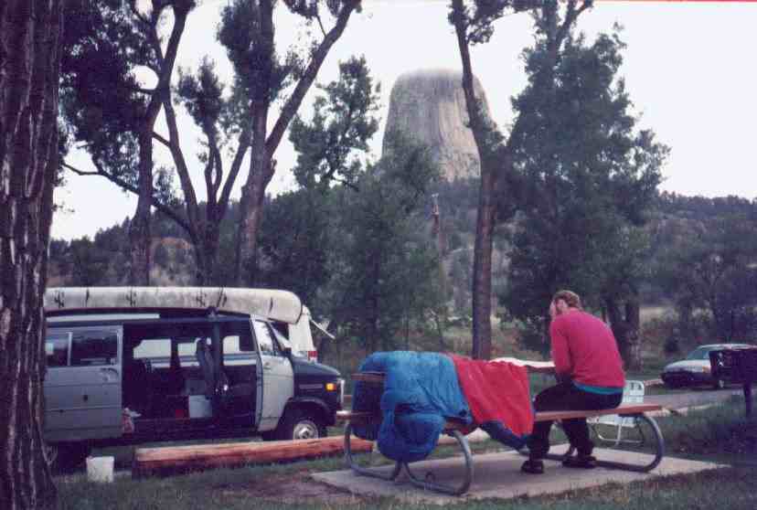
These photographs come from other adventures throughout my website. Each one represents a day when weather affected the route, the conditions, the safety, or simply the way the world looked.

The older page included a large directory of links to the rest of my site. I kept those links, but placed them in expandable sections so the weather story remains the focus.